


Charger images
Les formats d'image autorisés sont de type jpeg, png ou gif
La taille maximale du fichier doit être de 20MB

A public park in a steep-sided wooded valley close to the centre of Newcastle upon Tyne, good for urban birding, though can be crowded at times.
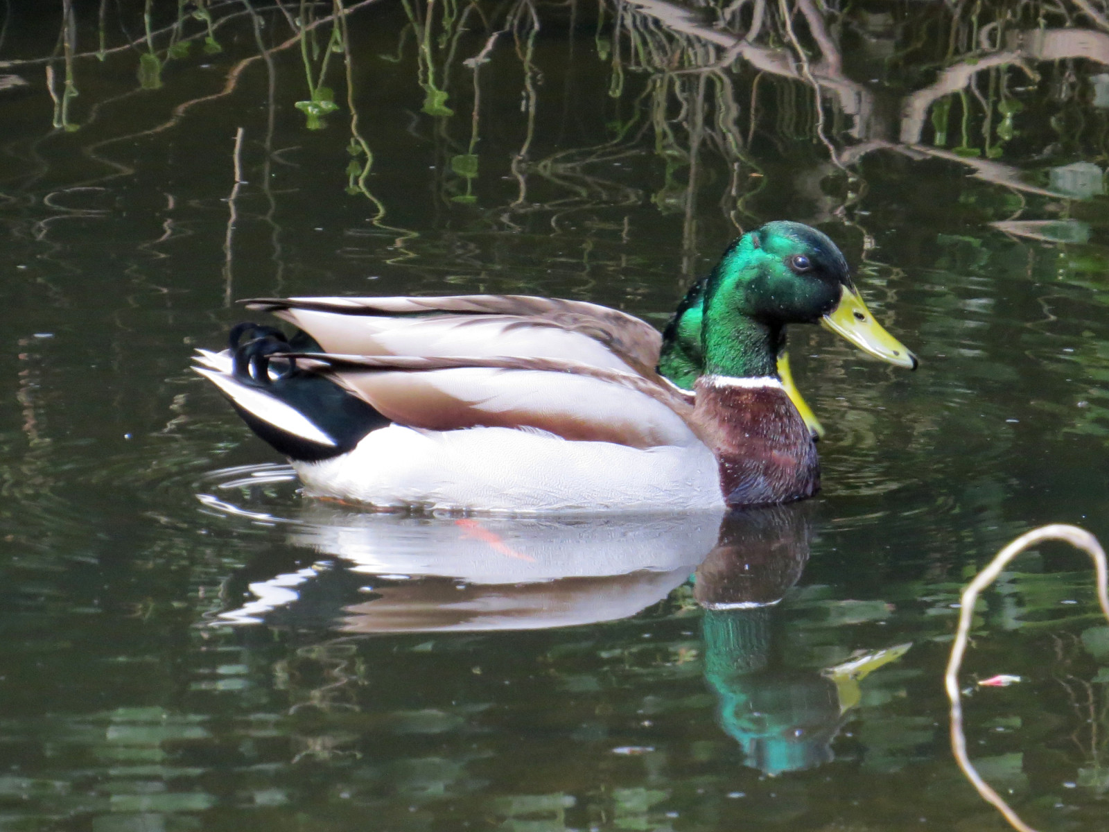
Jesmond Dene is a good site for common woodland birds for anyone living in or visiting Newcastle. The Ouse Burn stream running the length of the valley, although somewhat polluted, has regular Martin-pêcheur d'Europe and Bergeronnette des ruisseaux, and occasional Cincle plongeur, while the woods hold most of the expected woodland birds, including Pigeon colombin, Chouette hulotte, Pic épeiche, Geai des chênes, Fauvette à tête noire, Pouillot véloce, and recently, colonising Perruche à collier. In the past, Gros-bec casse-noyaux and Gobemouche gris were regular and Pouillot siffleur were occasional on spring passage, but there are sadly no recent records of these declining species.
One surprising recent addition to the breeding bird list, Huîtrier pie, now nests on flat rooftops and can be seen gathering worms for their chicks on the sports fields around the edge of Jesmond Dene - the only breeding wader in the area.
Bus services 38, 306, 308, 309 from the centre of Newcastle all cross the Dene; other busses pass close by the northern and southern ends of the Dene. Multiple cycle routes are close by too; while careful cycling within the Dene is possible, it is not generally a good idea due to the steepness of many of the paths, and the number of pedestrians present. While many of the flatter paths are wheelchair accessible, the steeper valley side paths are not suitable for wheelchairs.
Note the path indicated on the map below (5,5 km) is selected to show a variety of habitats and birds within the site; it includes some steep sections unsuitable for wheelchair users. Numerous alternative paths are available, just choose where you want to go!
 ) Insérez les noms d'oiseau dans votre langue. Ils seront automatiquement traduits pour les autres usagers !
Votre feedback sera transmis à l’auteur.rice de cette zone et à l’équipe éditoriale de Birdingplaces, qui l’utiliseront pour améliorer la qualité des informations. (Vous souhaitez publier un commentaire visible en bas de page ? Fermez cette fenêtre et choisissez l’Option 1 : « Publier un commentaire, un conseil ou une observation ».)
Veuillez fournir des suggestions d'améliorations ou d'ajouts au texte de ce site ornithologique.
Veuillez fournir vos suggestions d'améliorations ou d'ajouts à la carte.
Veuillez fournir des suggestions d'améliorations ou d'ajouts à la liste des oiseaux.
Cliquez sur l'icône de l'oiseau () Insérez les noms d'oiseau dans votre langue. Ils seront automatiquement traduits pour les autres usagers !