


Charger images
Les formats d'image autorisés sont de type jpeg, png ou gif
La taille maximale du fichier doit être de 20MB
A 24 hectare wetland haven, rich in bird life, especially waders and wintering wildfowl. Good for birding.
A former opencast coal mine, the fields are grazed in the autumn and winter to maintain the value of the habitat. A public footpath runs between the lake and fields leading to two bird hides, one facing north and one facing south, then beyond to the ruins of Chibburn Preceptory.
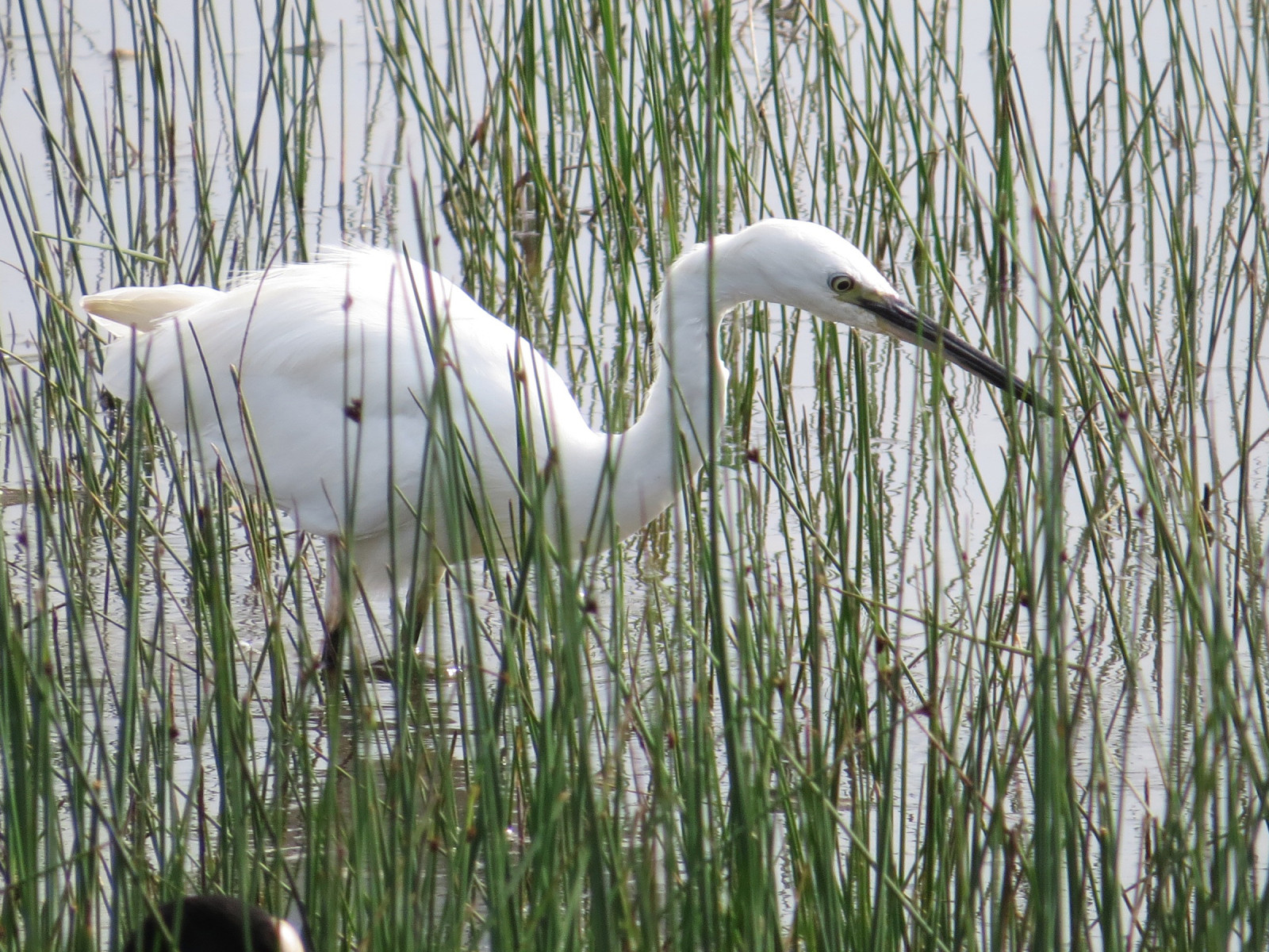
The deep lake to the north provides an opportunity to catch a glimpse of Otter, while wading birds feed along the shores, and Garrot à oeil d'or and Grèbe huppé use the water. The two wet fields to the south support large flocks of wintering wildfowl, mostly Canard siffleur and Sarcelle d'hiver, and in spring, Sarcelle d'été as well as Canard chipeau and Canard souchet; they are very good feeding sites for waders including Bécassine des marais, Chevalier gambette, Barge à queue noire, Chevalier sylvain, and others; Spatule blanche has also become regular in recent years, and scan for Pipit spioncelle in winter. In autumn, check the bushes and shelterbelts after east winds for species like Pouillot à grands sourcils and Roitelet triple-bandeau as well as numerous Roitelet huppé and Tarin des aulnes.
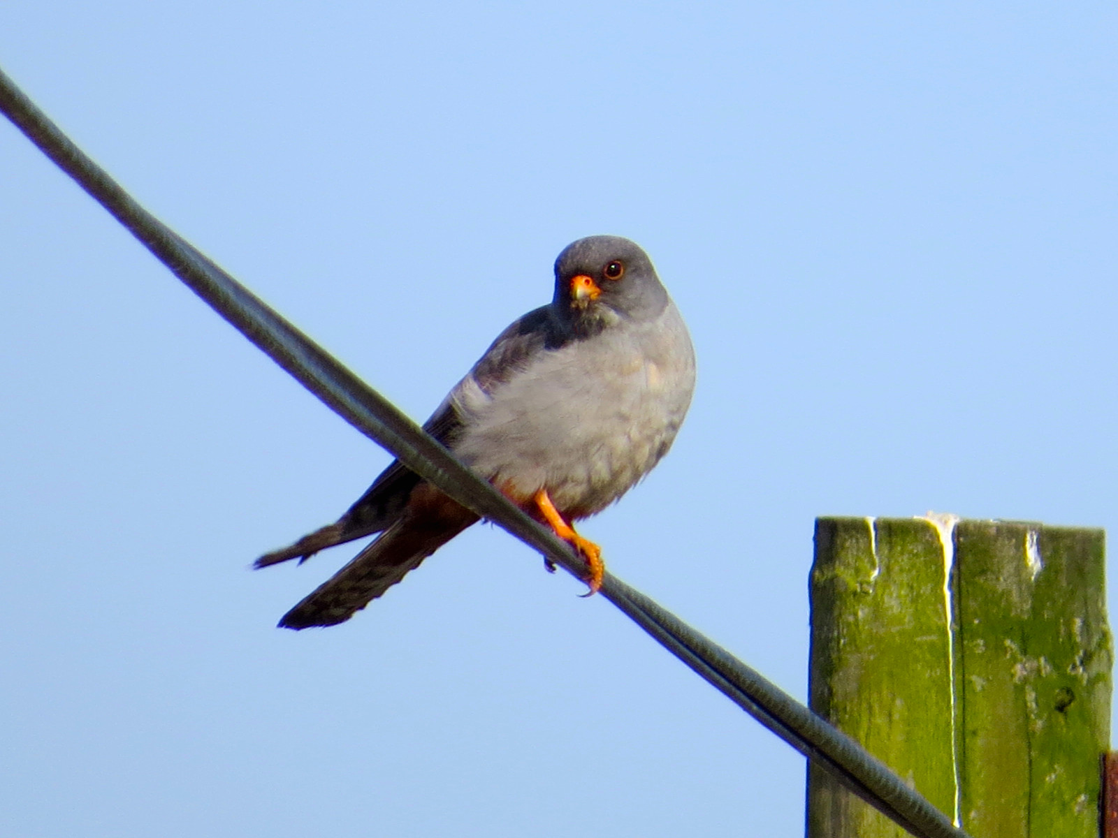
Numerous rarities have occurred, including Bécasseau falcinelle, Phalarope à bec étroit, Ibis falcinelle, Faucon kobez, Fauvette passerinette and others, making it a popular location for bird watchers and wildlife photographers alike.
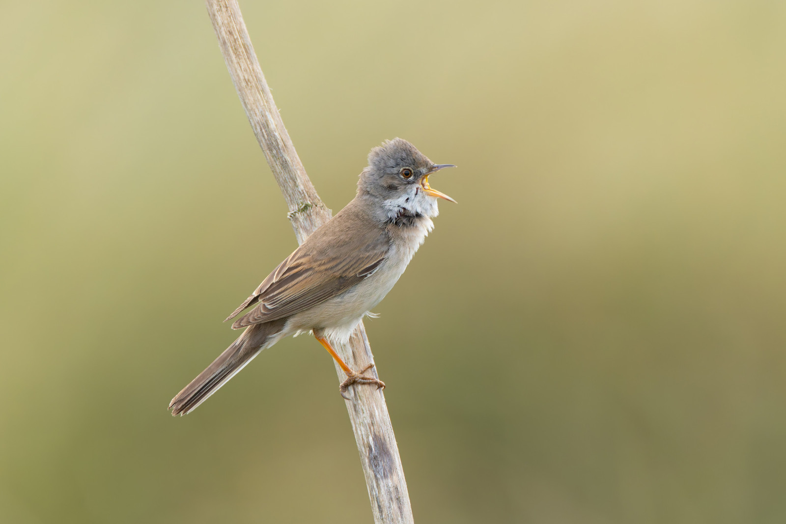
The dunes hold Locustelle tachetée and Tarier pâtre as well as the more abundant Alouette des champs and Pipit farlouse. The highest dune, roughly in the middle of the bay, gives a good vantage point for scanning the sea; here you can often see Eider à duvet, Macreuse noire, Harle huppé, Fou de Bassan, Plongeon catmarin, Labbe parasite, Guillemot de Troïl, Macareux moine, and also Bécasseau sanderling on the beach if there are not too many dog-walkers around. A telescope is useful for this.
There is roadside car parking at the adjacent National Trust Druridge Links site. Access is from a minor road running alongside Druridge Links and through a wide gap onto a level grass path. A further entrance gives access to a viewing area on another grass path, 400m south, alongside the same minor road. There are two viewing hides, one with level access and one accessed by four steps. There is also a viewing platform at the southern end of the reserve which is accessed by three broad steps.
There are access points leading to a screen overlooking the southern fields and along the public right of way through the centre of the site. The terrain is level and flat, but paths can be wet and muddy.
 ) Insérez les noms d'oiseau dans votre langue. Ils seront automatiquement traduits pour les autres usagers !
Votre feedback sera transmis à l’auteur.rice de cette zone et à l’équipe éditoriale de Birdingplaces, qui l’utiliseront pour améliorer la qualité des informations. (Vous souhaitez publier un commentaire visible en bas de page ? Fermez cette fenêtre et choisissez l’Option 1 : « Publier un commentaire, un conseil ou une observation ».)
Veuillez fournir des suggestions d'améliorations ou d'ajouts au texte de ce site ornithologique.
Veuillez fournir vos suggestions d'améliorations ou d'ajouts à la carte.
Veuillez fournir des suggestions d'améliorations ou d'ajouts à la liste des oiseaux.
Cliquez sur l'icône de l'oiseau () Insérez les noms d'oiseau dans votre langue. Ils seront automatiquement traduits pour les autres usagers !