


Charger images
Les formats d'image autorisés sont de type jpeg, png ou gif
La taille maximale du fichier doit être de 20MB
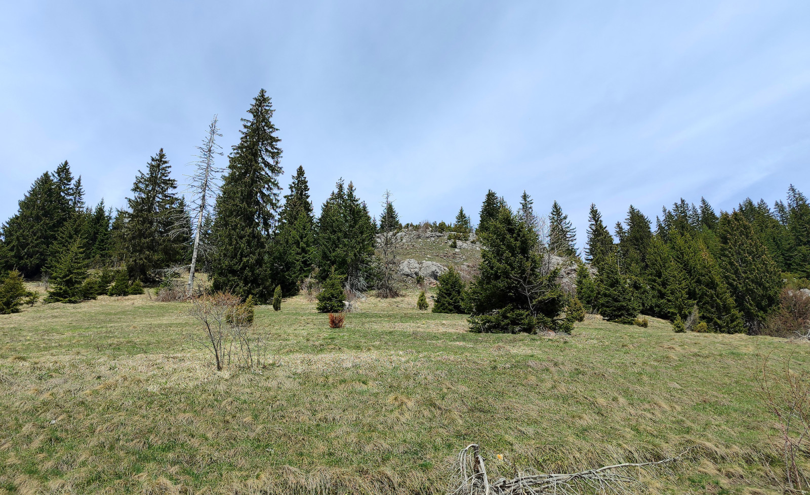
High mountain habitat with Spruce, Birch, and European red pine forests and fragrant meadows.
Zlatar mountain lies between rivers Lim, Uvac, Mileševka, and Bistrica. Its highest peak is Velika Krševa ('Big Karst', 1627 meters) with Spruce forest on the northern and scrubby and rocky meadows on the southern slopes. Beneath the Velika Krševa peak is the Vodena Poljana ('Water Meadow') in which there is a fountain spring with drinking water. South of Vodena Poljana is the Special Nature Reserve Ivlje forest, which has a unique mixed forest of Spruce and European red pine.
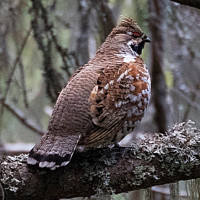
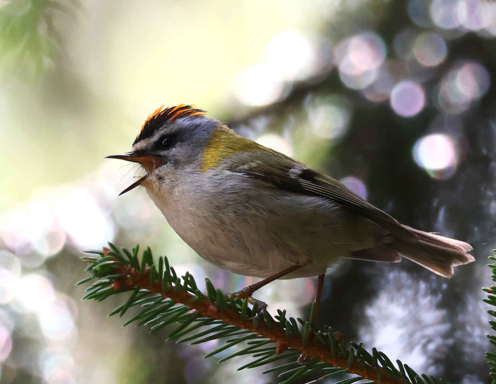
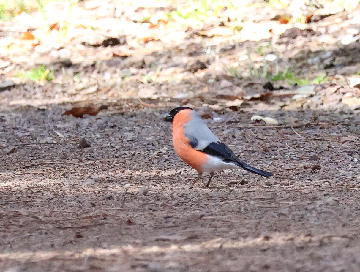
Many dirt roads and paths depart from Vodena Poljana, some of them are marked on the map below. The dirt road to the east winds shortly through the forest to reach steep and occasionally rocky meadows below the Zlatar peaks. Here you can find Bouvreuil pivoine, Mésange noire, Mésange huppée, Mésange boréale, Roitelet triple-bandeau, Roitelet huppé, and Accenteur mouchet. Darker and colder northern Zlatar slopes can be explored by choosing the dirt road to the north where you need some luck to find Pic tridactyle, Chevêchette d'Europe, or Chouette de Tengmalm. Finally, if you do not mind going down by foot, the path to the south passes through the Ivlje forest, where you may encounter Bec-croisé des sapins.
To reach Vodena Poljana and Velika Krševa, turn to the west from the regional road Nova Varoš - Sjenica and follow the paved road to the forest hut and the log church where it is possible to conveniently park.
The dirt road from Vodena Poljana to the west is passable by normal cars, while the dirt road to the north may be muddy with a lot of puddles after rainy days.
 ) Insérez les noms d'oiseau dans votre langue. Ils seront automatiquement traduits pour les autres usagers !
Votre feedback sera transmis à l’auteur.rice de cette zone et à l’équipe éditoriale de Birdingplaces, qui l’utiliseront pour améliorer la qualité des informations. (Vous souhaitez publier un commentaire visible en bas de page ? Fermez cette fenêtre et choisissez l’Option 1 : « Publier un commentaire, un conseil ou une observation ».)
Veuillez fournir des suggestions d'améliorations ou d'ajouts au texte de ce site ornithologique.
Veuillez fournir vos suggestions d'améliorations ou d'ajouts à la carte.
Veuillez fournir des suggestions d'améliorations ou d'ajouts à la liste des oiseaux.
Cliquez sur l'icône de l'oiseau () Insérez les noms d'oiseau dans votre langue. Ils seront automatiquement traduits pour les autres usagers !