


Charger images
Les formats d'image autorisés sont de type jpeg, png ou gif
La taille maximale du fichier doit être de 20MB
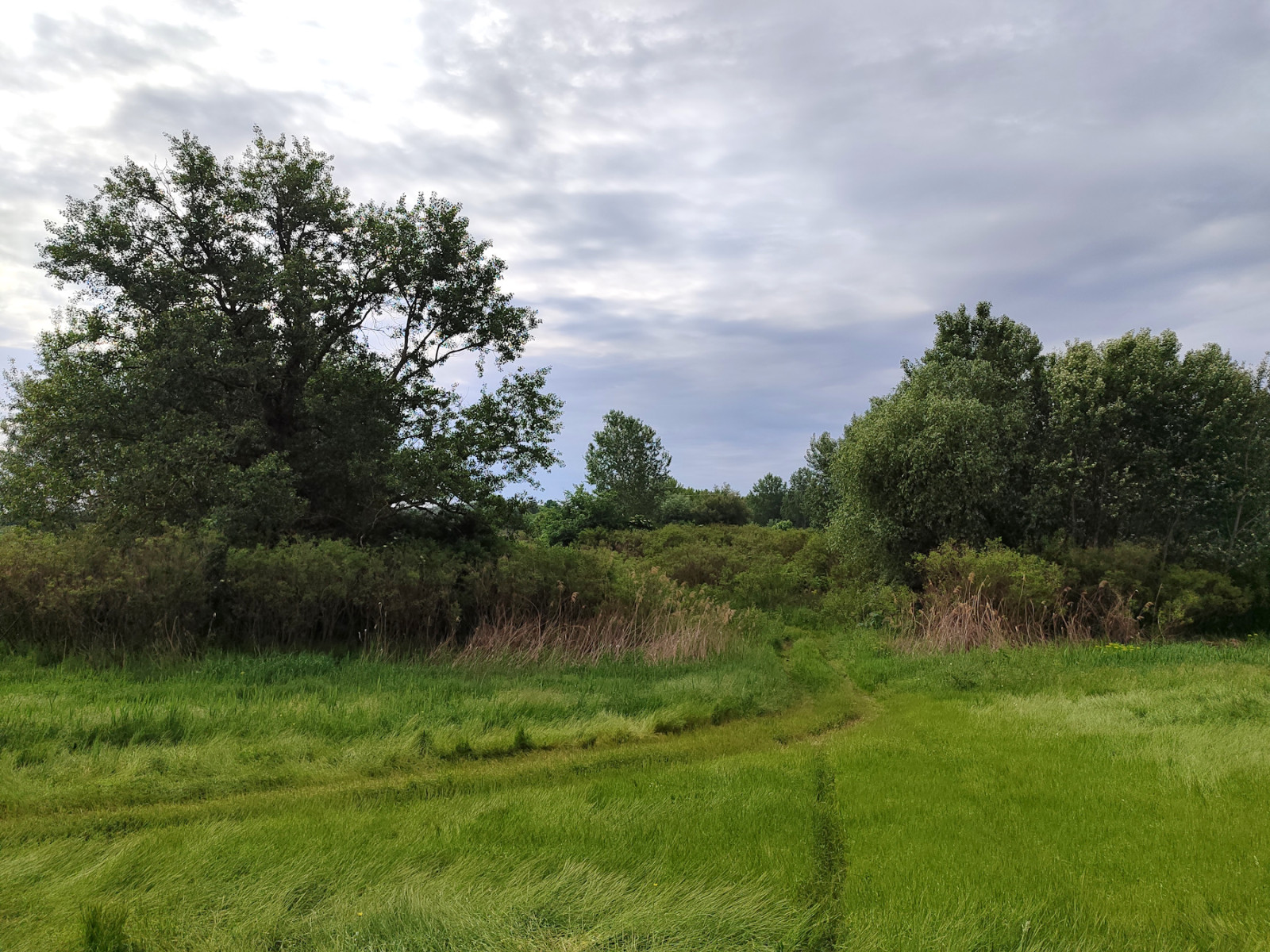
Floodplain forests, marshes, wet meadows, heathlands, reeds, old meanders, and ponds in the lower Tisza basin.
The special nature reserve Marshes of the Lower Tisza is situated in the central part of the Vojvodina province, in the lower Tisza basin, split between Banat and Bačka regions.
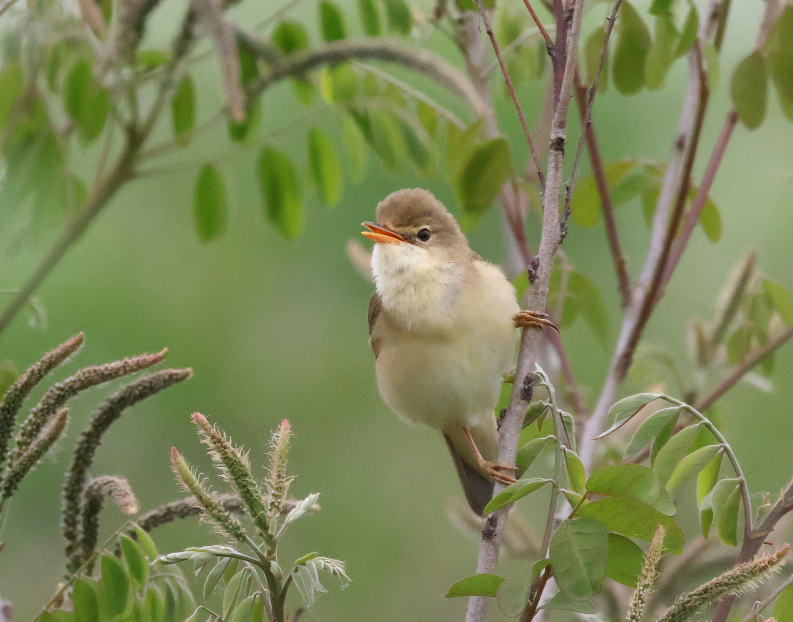
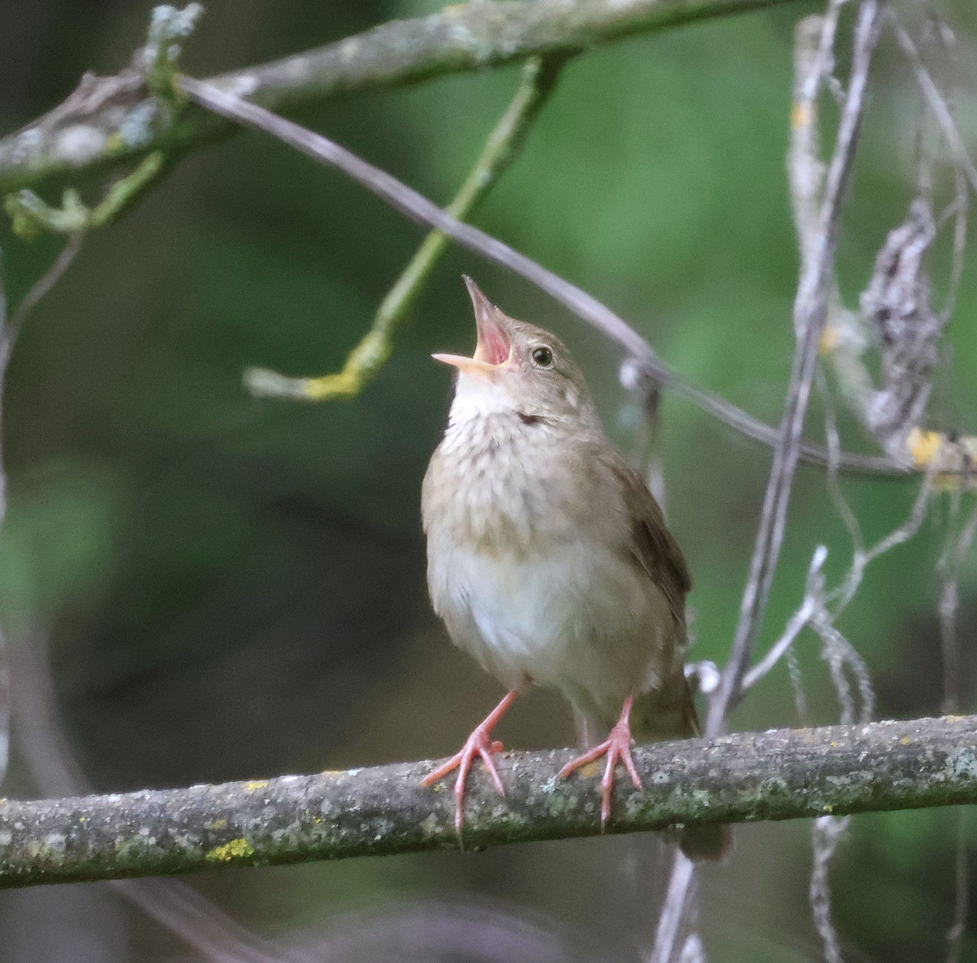
The area is breeding ground for species like Grande Aigrette, Cigogne noire, Pygargue à queue blanche, Pic épeichette, and Hypolaïs pâle. The presence of low dense vegetation also attracts Locustelle fluviatile, Rousserolle verderolle, Fauvette épervière, and Fauvette des jardins, while Tarier pâtre, Bergeronnette printanière, and Locustelle tachetée can be found in wet meadows east of the embankment.
The lower Tisza basin is also known for Palingenia longicauda, aquatic insects that never move away from water, fly low and their cerci are frequently touching or sweeping the surface. The slow-moving river and absence of surface-feeding fish make this possible. The presence of P. longicauda, as well as otter and beaver, is an indicator of clean unpolluted water and preservation and quality of this habitat.
The best months to visit are May and June.
The main access to this area is from the regional road Novi Sad - Zrenjanin, stop just after the Žabalj bridge if coming from Novi Sad. You can park immediately after leaving the main road or find a better place to park a few hundred meters down the minor road. From this point, the path over the embankment leads in both directions, upstream and downstream of the Tisza River. Although the section of the embankment north of the Novi Sad - Zrenjanin road is paved, it is not directly accessible by car from the road (there is a road fence in between), but only from the Babatovo restaurant, ~5km further to the north on the left riverbank.
The alternative access point to the southern embankment section is from the local hunting lodge near Aradac village in the south.
 ) Insérez les noms d'oiseau dans votre langue. Ils seront automatiquement traduits pour les autres usagers !
Votre feedback sera transmis à l’auteur.rice de cette zone et à l’équipe éditoriale de Birdingplaces, qui l’utiliseront pour améliorer la qualité des informations. (Vous souhaitez publier un commentaire visible en bas de page ? Fermez cette fenêtre et choisissez l’Option 1 : « Publier un commentaire, un conseil ou une observation ».)
Veuillez fournir des suggestions d'améliorations ou d'ajouts au texte de ce site ornithologique.
Veuillez fournir vos suggestions d'améliorations ou d'ajouts à la carte.
Veuillez fournir des suggestions d'améliorations ou d'ajouts à la liste des oiseaux.
Cliquez sur l'icône de l'oiseau () Insérez les noms d'oiseau dans votre langue. Ils seront automatiquement traduits pour les autres usagers !