


Charger images
Les formats d'image autorisés sont de type jpeg, png ou gif
La taille maximale du fichier doit être de 20MB
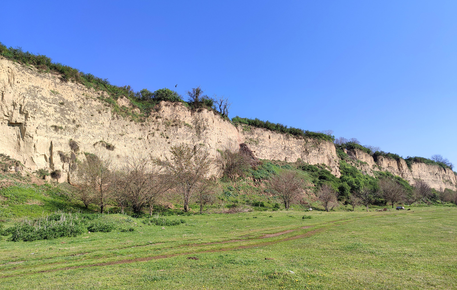
Belegiš floodplain meadows, loess bluffs, and sandbanks are just half an hour from Belgrade.
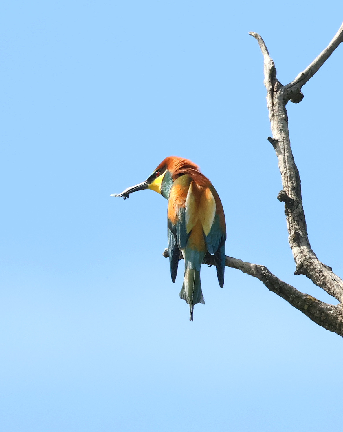
Belegiš floodplains and meadows lie under the 30m high Danube loess bluffs beneath the Belegiš village. Numerous cattle graze the meadows, and there are old pig farms deeper in the floodplain. In the spring, when the Danube watermark is high, large parts of the plains are underwater. As the water level starts to drop, Échasse blanche and Avocette élégante are searching for good places to nest. In the summer, herons, Ibis falcinelle, and Spatule blanche dominate the scene. Late summer and early autumn, as the further dipping watermark coincides with autumn migration picking up, many sandbanks and sandbars are formed, attracting numerous shorebirds. In the winter, many waterfowl find the slow-moving water bays between many nearby river islands attractive.
The area is part of the IBA Danube Loess Bluffs.
There are several downward roads leading through the loess bluffs from the Belegiš village to the floodplains beneath. Some of them are paved, including the central one. Choose one of the roads and park when you reach the floodplain.
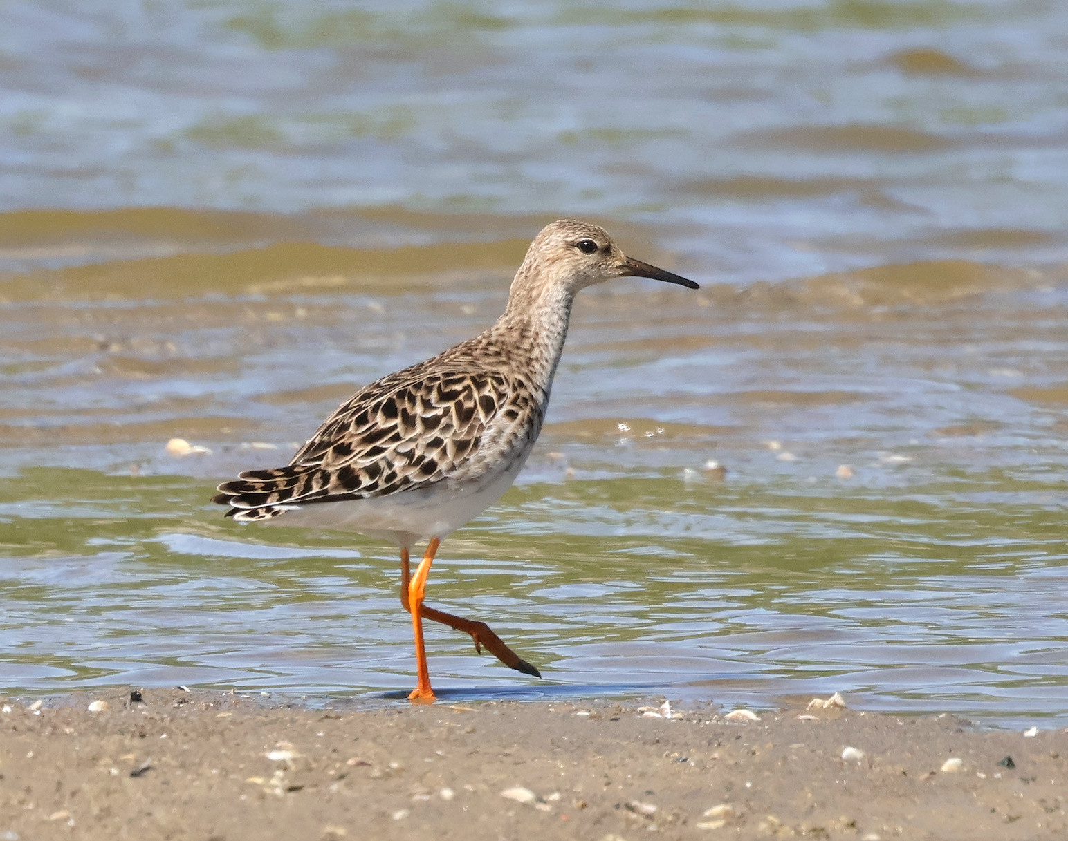
In the summer and autumn, do not miss exploring sandbanks and sandbars forming around numerous river islands. They are usually easily accessible, although no roads or trails lead to them.
Regardless of the season, when visiting the floodplains, do check the watermarks and be sure to take a look at the recent satellite images of the area (Copernicus satellite imagery browser) and then plan your exact route accordingly. With higher waters, floodplains are usually more productive, while with lower waters, sandbanks and sandbars are the places to explore.
 ) Insérez les noms d'oiseau dans votre langue. Ils seront automatiquement traduits pour les autres usagers !
Votre feedback sera transmis à l’auteur.rice de cette zone et à l’équipe éditoriale de Birdingplaces, qui l’utiliseront pour améliorer la qualité des informations. (Vous souhaitez publier un commentaire visible en bas de page ? Fermez cette fenêtre et choisissez l’Option 1 : « Publier un commentaire, un conseil ou une observation ».)
Veuillez fournir des suggestions d'améliorations ou d'ajouts au texte de ce site ornithologique.
Veuillez fournir vos suggestions d'améliorations ou d'ajouts à la carte.
Veuillez fournir des suggestions d'améliorations ou d'ajouts à la liste des oiseaux.
Cliquez sur l'icône de l'oiseau () Insérez les noms d'oiseau dans votre langue. Ils seront automatiquement traduits pour les autres usagers !