


Charger images
Les formats d'image autorisés sont de type jpeg, png ou gif
La taille maximale du fichier doit être de 20MB
Observation site located on the right bank of the mouth of the Vistula River. The place is most often besieged by birdwatchers and photographers.
The observation site is partly located in the reserve - however, the path marked on the map is generally available and does not require permits. An exception may be the period of nesting and ringing of birds, when some parts of the area may be closed to visitors.
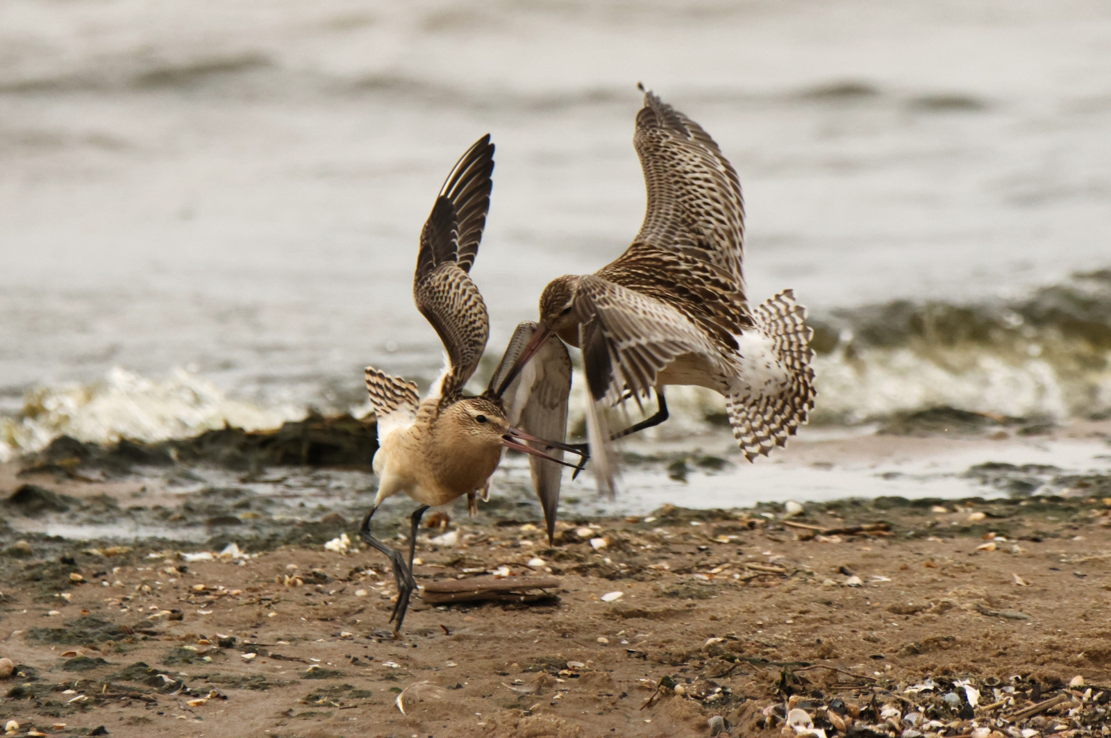
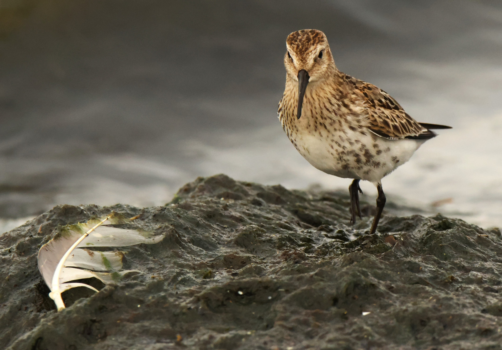
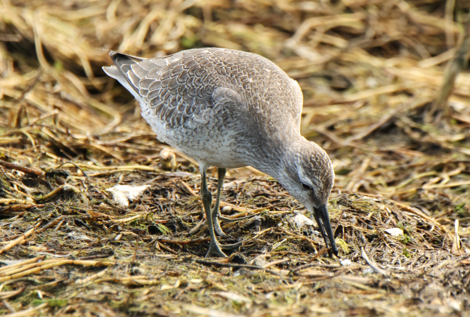
The east side of Rezerwat Mewia Łacha consists of a river bank, a dune, a beach, a forest and a coastal lake (unfortunately with the possibility of observation hindered by reeds). Mewia Łacha is a breeding and resting place for a huge number and many species of charadriiformes, ducks, gulls and terns.
_________________________
Polski: Miejsce obserwacji znajduje się częściowo na terenie rezerwatu - jednakże ścieżka zaznaczona na mapie jest ogólnie dostępna i nie wymaga zezwoleń. Wyjątek może stanowić okres legów i obrączkowania ptaków, kiedy niektóre jej fragmenty mogą zostać wyłączone ze zwiedzania.
Teren stanowi brzeg rzeki, wydma, plaża nadmorska, las i przybrzeżne jezioro (niestety z utrudnioną przez trzcinowiska możliwością obserwacji). Mewia Łacha jest miejscem lęgów i odpoczynku dla ogromnej ilości i wielu gatunków ptaków siewkowatych, kaczek, mew i rybitw.
From the western side of the reserve, the eastern part is separated by the Vistula River. There is no bridge across the river to the east bank in the immediate vicinity. There is, however, a ferry crossing from Ścibno to Mikoszewo (ferries run every half an hour). The path marked on the map can be covered on foot. Along the river bank it is rather difficult to move by bike, and from the beach side it is rather impossible. It is best to leave the bike at the entrance to the beach from Bursztynowa Street in Mikoszewo. It is most convenient to leave the car around the ferry crossing or at the church in Mikoszewo. There is a paid car park near the entrance to the beach in the forest. Please note that during the summer season, car parks may not be available. The circular walking route indicated on the map is about 7,5 km.
_________________________
Polski: Od zachodniej strony rezerwatu, częśc wschodnia oddzielona jest rzeką Wisłą. W bezpośredniej bliskości nie ma mostu przez rzekę na wschodni brzeg. Jest natomiast przeprawa promowa ze Ścibna do Mikoszewa (promy kursują co pół godziny). Zaznaczoną na mapie ścieżkę można pokonać pieszo. Wzgłuż brzegu rzeki raczej trudno przemieszczać się rowerem, a od strony plaży jest to raczej niewykonalne. Rower najlepiej pozostawić przy wejściu na plażę od strony ulicy Bursztynowej w Mikoszewie. Samochód najwygodniej pozostawićwokolicy przeprawy promowej lub przy kościele w Mikoszewie. Niedaleko wejścia na plażę w lesie znajduje się płatny parking. Należy pamiętać , iż w sezonie letnim parkingi mogą być mało dostępne.
 ) Insérez les noms d'oiseau dans votre langue. Ils seront automatiquement traduits pour les autres usagers !
Votre feedback sera transmis à l’auteur.rice de cette zone et à l’équipe éditoriale de Birdingplaces, qui l’utiliseront pour améliorer la qualité des informations. (Vous souhaitez publier un commentaire visible en bas de page ? Fermez cette fenêtre et choisissez l’Option 1 : « Publier un commentaire, un conseil ou une observation ».)
Veuillez fournir des suggestions d'améliorations ou d'ajouts au texte de ce site ornithologique.
Veuillez fournir vos suggestions d'améliorations ou d'ajouts à la carte.
Veuillez fournir des suggestions d'améliorations ou d'ajouts à la liste des oiseaux.
Cliquez sur l'icône de l'oiseau () Insérez les noms d'oiseau dans votre langue. Ils seront automatiquement traduits pour les autres usagers !