


Charger images
Les formats d'image autorisés sont de type jpeg, png ou gif
La taille maximale du fichier doit être de 20MB
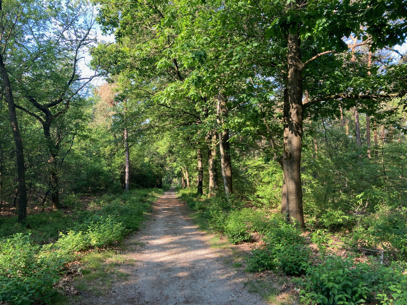
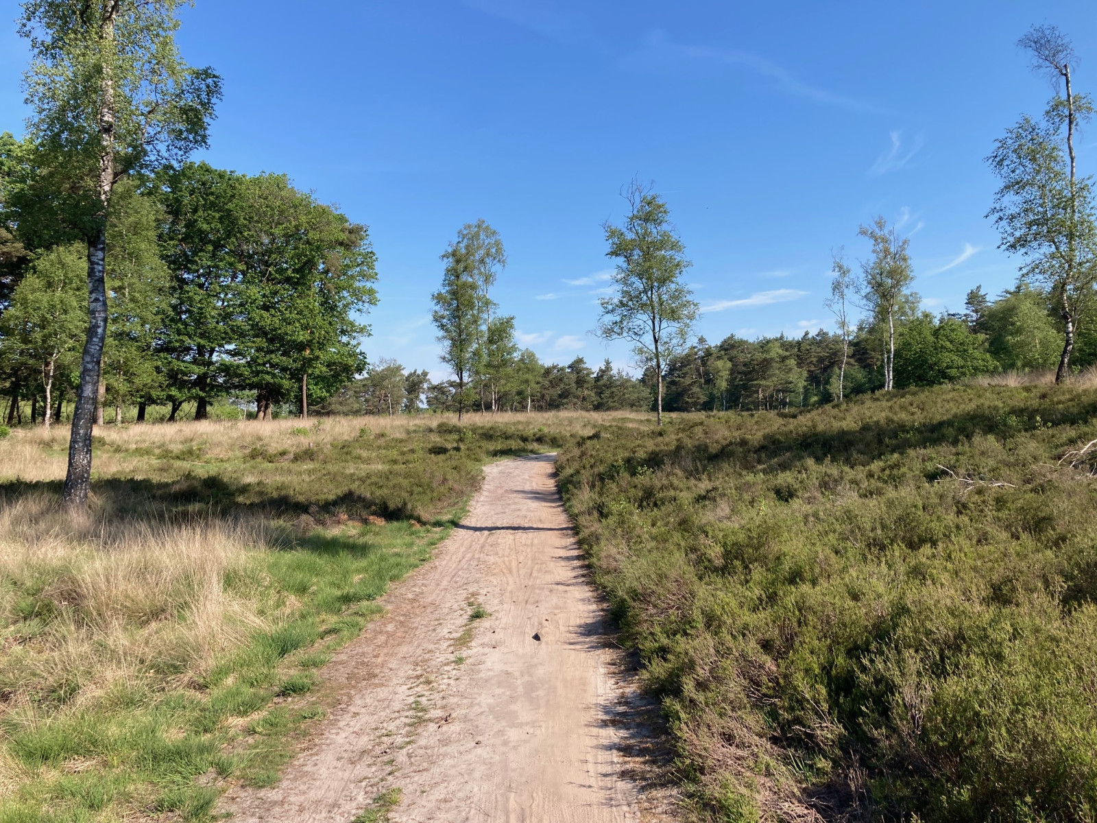
Large forest area east of the city of Ede, bordering the big heathland of Ginkelse Heide. Nice to combine hiking and bird watching.
The Zuid Ginkelse Heide is a mosaic of smaller heathlands and a big forest and has a wide variety of tree species. The area lies on very poor sandy soil and is grazed by a flock of sheep. During Operation Market Garden in World War II, hundreds of Allied paratroopers landed here. Birds you may encounter in the area are Gobemouche gris, Gobemouche noir, Rougequeue à front blanc, Tarier pâtre, Pic noir, Grand Corbeau, Mésange huppée, Alouette lulu and Pipit des arbres.
_________________________
Nederlands: De Zuid Ginkelse Heide is een mozaïek van heide en bos en heeft een mix van loofbomen en naaldbomen. Het grenst aan het grote heidegebied van de Ginkelse Heide. Het gebied ligt op zeer arme zandgrond en wordt begraasd door een schaapskudde. Tijdens Operation Market Garden in de Tweede Wereldoorlog landden op de Ginkelse Heide honderden geallieerde parachutisten. Vogels die je in het gebied kunt tegenkomen zijn Gobemouche gris, Gobemouche noir, Rougequeue à front blanc, Tarier pâtre, Pic noir, Grand Corbeau, Mésange huppée, Alouette lulu en Pipit des arbres. Ook de Zandhagedis wordt hier vaak gezien. Klein minpuntje is dat de route ligt ingeklemd tussen twee drukke wegen, waardoor je in de verte altijd het geruis van het verkeer hoort.
You will find the Zuid Ginkelse Heide when you drive on the N224 from Ede towards Arnhem, on the south side of the road. You can park for free in the large parking lot next to the old sheepfold. Click on the P in the map for directions to the car park. Various walking and cycling routes run through the area. The 7-kilometre walking route that you see on the map below is a nice route over quiet wide forest paths and along stretches of heathland. The walking route starts at the parking lot of the sheepfold and is clearly marked with signs with a white triangle on a red background (see the photo). About a quarter of the route goes through heathland, the rest through forest.
_________________________
Nederlands: Je vindt de Zuid Ginkelse Heide als je over de N224 van Ede richting Arnhem rijdt, aan de zuidkant van de weg. Parkeren kan gratis op de grote parkeerplaats naast de oude schaapskooi. Klik op de P in de kaart voor een routebeschrijving naar de parkeerplaats. Door het gebied lopen diverse wandelroutes en fietsroutes waarvan de meeste zijn gemarkeerd met knooppunten. De wandelroute van 7 kilometer die je hieronder op de kaart ziet is een fijne route over rustige brede bospaden en langs stukken heide. De wandelroute start bij de parkeerplaats van de schaapskooi en is duidelijk gemarkeerd met bordjes met een witte driehoek op een rode achtergrond (zie de foto). Ongeveer een kwart van de route gaat langs heide, de rest door bos.
 ) Insérez les noms d'oiseau dans votre langue. Ils seront automatiquement traduits pour les autres usagers !
Votre feedback sera transmis à l’auteur.rice de cette zone et à l’équipe éditoriale de Birdingplaces, qui l’utiliseront pour améliorer la qualité des informations. (Vous souhaitez publier un commentaire visible en bas de page ? Fermez cette fenêtre et choisissez l’Option 1 : « Publier un commentaire, un conseil ou une observation ».)
Veuillez fournir des suggestions d'améliorations ou d'ajouts au texte de ce site ornithologique.
Veuillez fournir vos suggestions d'améliorations ou d'ajouts à la carte.
Veuillez fournir des suggestions d'améliorations ou d'ajouts à la liste des oiseaux.
Cliquez sur l'icône de l'oiseau () Insérez les noms d'oiseau dans votre langue. Ils seront automatiquement traduits pour les autres usagers !