


Charger images
Les formats d'image autorisés sont de type jpeg, png ou gif
La taille maximale du fichier doit être de 20MB


In the high area of the Tongerense Heide you find forest, heather and fens.
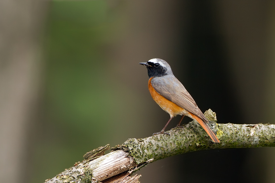
Eyecatcher is the Tongerense Berg (hill) with a beautiful view. Descending to the Wisselse Veen, the terrain becomes flatter and wetter. The heather flows into grassland. More to the north lies the Tongerense Veen with streams, stream banks, grasslands, bushes and wood girths. Known for the many Mésange huppée. In the forested areas you can also find Hibou moyen-duc, Autour des palombes and Buse variable. Engoulevent d'Europe, Bruant jaune, Tarier pâtre, Pipit des arbres and Alouette lulu are found on the open heath. Birds such as Bécassine des marais, Râle d'eau and Bruant des roseaux breed in the wet area of the Wisselse Veen.
_________________________
Nederlands: In het hooggelegen gebied van de Tongerense Heide vind je bos, heide en vennen. Blikvanger is de Tongerense Berg met een prachtig uitzicht. Afdalend naar het Wisselse Veen wordt het terrein vlakker en natter. De heide verandert in grasland. Meer naar het noorden ligt het Tongerense Veen met beekjes, beekoevers, graslanden, struikgewas en houtsingels. Bekend om de vele Mésange huppée. In de beboste gebieden zijn ook Hibou moyen-duc, Autour des palombes en Buse variable te vinden. Engoulevent d'Europe, Bruant jaune, Tarier pâtre, Pipit des arbres en Alouette lulu zijn te vinden op de open heide. Vogels als Bécassine des marais, Râle d'eau en Bruant des roseaux broeden in het natte gebied van het Wisselse Veen.
Park best at the start of Van Manenspad (see the P on the map on the north side) or at the crossing Oranjeweg/Gortelseweg (see the P on the map on the south side). There are two marked hiking trails, one of 5 and one of 4 kilometers. But you can also easily make a longer walk like the route on the map (12,5 km).
_________________________
Nederlands: Parkeer het beste aan het begin van het Van Manenspad (zie de P op de plattegrond aan de noordzijde) of bij de kruising Oranjeweg/Gortelseweg (zie de P op de plattegrond aan de zuidzijde). Er zijn twee gemarkeerde wandelroutes, een van 5 en een van 4 kilometer. Maar je kunt ook gemakkelijk een langere wandeling maken zoals de route op de kaart (12,5 km).
 ) Insérez les noms d'oiseau dans votre langue. Ils seront automatiquement traduits pour les autres usagers !
Votre feedback sera transmis à l’auteur.rice de cette zone et à l’équipe éditoriale de Birdingplaces, qui l’utiliseront pour améliorer la qualité des informations. (Vous souhaitez publier un commentaire visible en bas de page ? Fermez cette fenêtre et choisissez l’Option 1 : « Publier un commentaire, un conseil ou une observation ».)
Veuillez fournir des suggestions d'améliorations ou d'ajouts au texte de ce site ornithologique.
Veuillez fournir vos suggestions d'améliorations ou d'ajouts à la carte.
Veuillez fournir des suggestions d'améliorations ou d'ajouts à la liste des oiseaux.
Cliquez sur l'icône de l'oiseau () Insérez les noms d'oiseau dans votre langue. Ils seront automatiquement traduits pour les autres usagers !