


Charger images
Les formats d'image autorisés sont de type jpeg, png ou gif
La taille maximale du fichier doit être de 20MB
._Locatie,_Schaopedobbe_(Schapenpoel)_16.jpg)
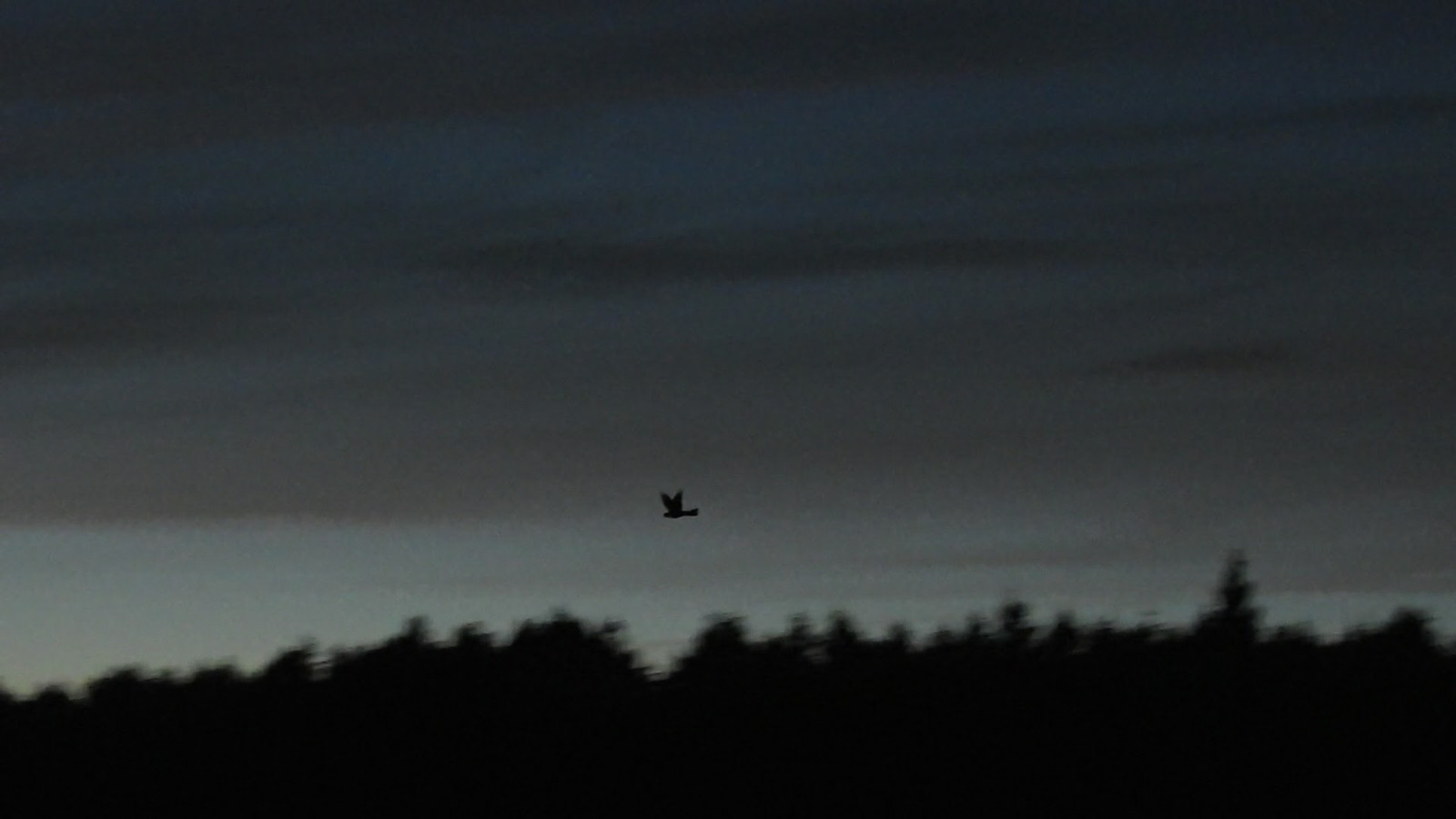

Heathland that consists of an alternation of dry and less dry parts, former hay meadows, water pools, groups of trees, forest and drifting sand.
The Schaopedobbe is a heathland area of 91 hectares. A varied terrain with heathland and a number of water pools. A striking feature of this area is the differences in heights. Typical heather birds such as Tarier pâtre, Alouette lulu, Alouette des champs, Pipit des arbres, Bruant jaune and Engoulevent d'Europe can be encountered here. But also various species of woodpeckers and other forest birds.
_________________________
Nederlands: De Schaopedobbe is een heidegebied van 91 hectare groot van It Fryske Gea. Een gevarieerd terrein met heide, zandverstuivingen, groepjes bomen en een aantal waterpoelen (dobben). Een opvallend kenmerk van dit gebied zijn de verschillen in hoogtes. Typische heidevogels zoals Tarier pâtre, Alouette lulu, Alouette des champs, Pipit des arbres, Bruant jaune en Engoulevent d'Europe kun je hier tegenkomen. Maar ook diverse soorten spechten en andere bosvogels.
Schaopedobbe nature reserve is located directly east of the village of Elsloo. There are several parkings around the nature reserve. Click on a P on the map for directions to a parking lot. Schaopedobbe is freely accessible during the day on roads and paths outside the breeding season. During the breeding season, from March 15 to July 1, part of the walking route is closed (this will be indicated on site). The circular walk indicated on the map is approximately 6 km.
_________________________
Nederlands: Natuurgebied Schaopedobbe ligt direct ten oosten van het dorp Elsloo. Er zijn diverse parkeerplaatsen rondom het natuurgebied. Klik op een P in de kaart voor een routebeschrijving naar een parkeerplaats. Schaopedobbe is buiten het broedseizoen overdag vrij toegankelijk op wegen en paden. Tijdens het broedseizoen, van 15 maart tot 1 juli, is een deel van de wandelroute afgesloten (dit wordt ter plekke aangegeven). De rondwandeling die is aangegeven op de kaart is ongeveer 6 km.
 ) Insérez les noms d'oiseau dans votre langue. Ils seront automatiquement traduits pour les autres usagers !
Votre feedback sera transmis à l’auteur.rice de cette zone et à l’équipe éditoriale de Birdingplaces, qui l’utiliseront pour améliorer la qualité des informations. (Vous souhaitez publier un commentaire visible en bas de page ? Fermez cette fenêtre et choisissez l’Option 1 : « Publier un commentaire, un conseil ou une observation ».)
Veuillez fournir des suggestions d'améliorations ou d'ajouts au texte de ce site ornithologique.
Veuillez fournir vos suggestions d'améliorations ou d'ajouts à la carte.
Veuillez fournir des suggestions d'améliorations ou d'ajouts à la liste des oiseaux.
Cliquez sur l'icône de l'oiseau () Insérez les noms d'oiseau dans votre langue. Ils seront automatiquement traduits pour les autres usagers !