


Charger images
Les formats d'image autorisés sont de type jpeg, png ou gif
La taille maximale du fichier doit être de 20MB
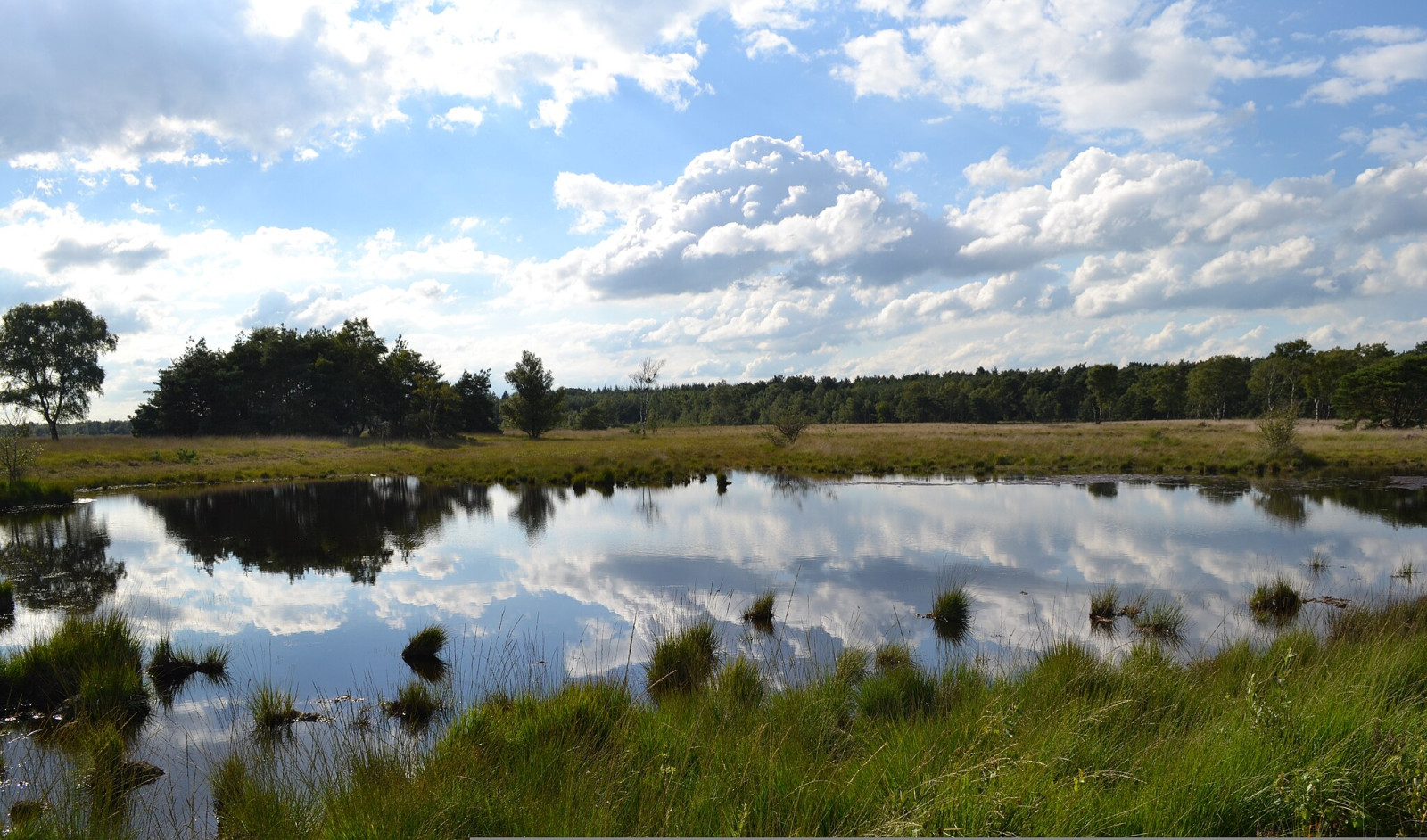


Nature reserve of 229 hectares with forests, ponds and heathlands.
The Neterselse Heide has a varied landscape, with ponds, heathlands (dry and wet heath), and forests. Parts of the area are grazed. Birds that you can encounter in the area are Faucon hobereau, Engoulevent d'Europe, Bécasse des bois, Grive draine, Alouette lulu, Alouette des champs, Pipit des arbres, Gorgebleue à miroir, Locustelle tachetée, Bruant jaune and Tarier pâtre. In winter, the Pie-grièche grise is often present and with a bit of luck you can also encounter a Busard Saint-Martin.
_________________________
Nederlands: De Neterselse Heide is een natuurgebied van 229 hectare groot van het Brabants Landschap. Een gevarieerd landschap, met vennen, heidevelden (droge en natte heide), en bossen. Delen van het gebied worden begraasd. Vogels die je in het gebied kunt tegenkomen zijn Faucon hobereau, Engoulevent d'Europe, Bécasse des bois, Grive draine, Alouette lulu, Alouette des champs, Pipit des arbres, Gorgebleue à miroir, Locustelle tachetée, Bruant jaune en Tarier pâtre. In de winter is de Pie-grièche grise vaak aanwezig en kun je met een beetje geluk ook een Busard Saint-Martin aantreffen.
The Neterselse Heide is located west of the city of Eindhoven just above the village of Netersel. Parking is available on the south side of the area at the Witvensberg car park and on the north side of the area at the Fons van der Heijdenstraat car park. Press a P on the map for directions to a car park.
_________________________
Nederlands: De Neterselse Heide is gelegen ten westen van Eindhoven net boven het dorp Netersel. Parkeren kan aan de zuidkant van het gebied op parkeerplaats Witvensberg en aan de noordkant van het gebied op parkeerplaats Fons van der Heijdenstraat. Druk op een P in de kaart voor een routebeschrijving naar een parkeerplaats.
There are two signposted walks in the area of 6.2 and 6.8 km respectively and a wheelchair path of 1.7 km. All these walks are indicated on the map below. In wet periods parts of the paths can be wet and muddy and waterproof footwear is recommended.
_________________________
Nederlands: Er zijn twee gemarkeerde wandelingen uitgezet in het gebied van respectievelijk 6,2 en 6,8 km en een rolstoelpad van 1,7 km. Op de kaart hieronder zijn al deze wandelingen aangegeven. In natte periodes kunnen delen van de paden nat en modderig zijn en is waterdicht schoeisel aan te raden.
 ) Insérez les noms d'oiseau dans votre langue. Ils seront automatiquement traduits pour les autres usagers !
Votre feedback sera transmis à l’auteur.rice de cette zone et à l’équipe éditoriale de Birdingplaces, qui l’utiliseront pour améliorer la qualité des informations. (Vous souhaitez publier un commentaire visible en bas de page ? Fermez cette fenêtre et choisissez l’Option 1 : « Publier un commentaire, un conseil ou une observation ».)
Veuillez fournir des suggestions d'améliorations ou d'ajouts au texte de ce site ornithologique.
Veuillez fournir vos suggestions d'améliorations ou d'ajouts à la carte.
Veuillez fournir des suggestions d'améliorations ou d'ajouts à la liste des oiseaux.
Cliquez sur l'icône de l'oiseau () Insérez les noms d'oiseau dans votre langue. Ils seront automatiquement traduits pour les autres usagers !