
.jpg)


Charger images
Les formats d'image autorisés sont de type jpeg, png ou gif
La taille maximale du fichier doit être de 20MB
New nature reserve along the southern bank of the river Waal near the village of Deest.
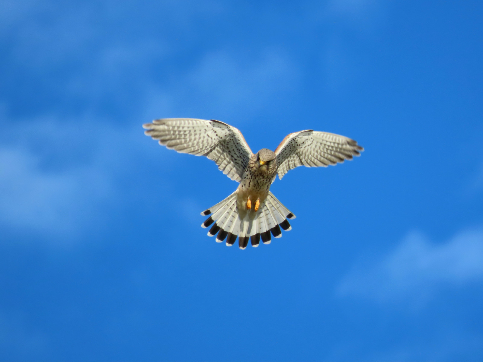
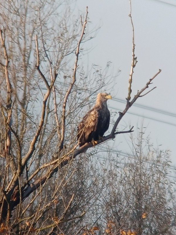
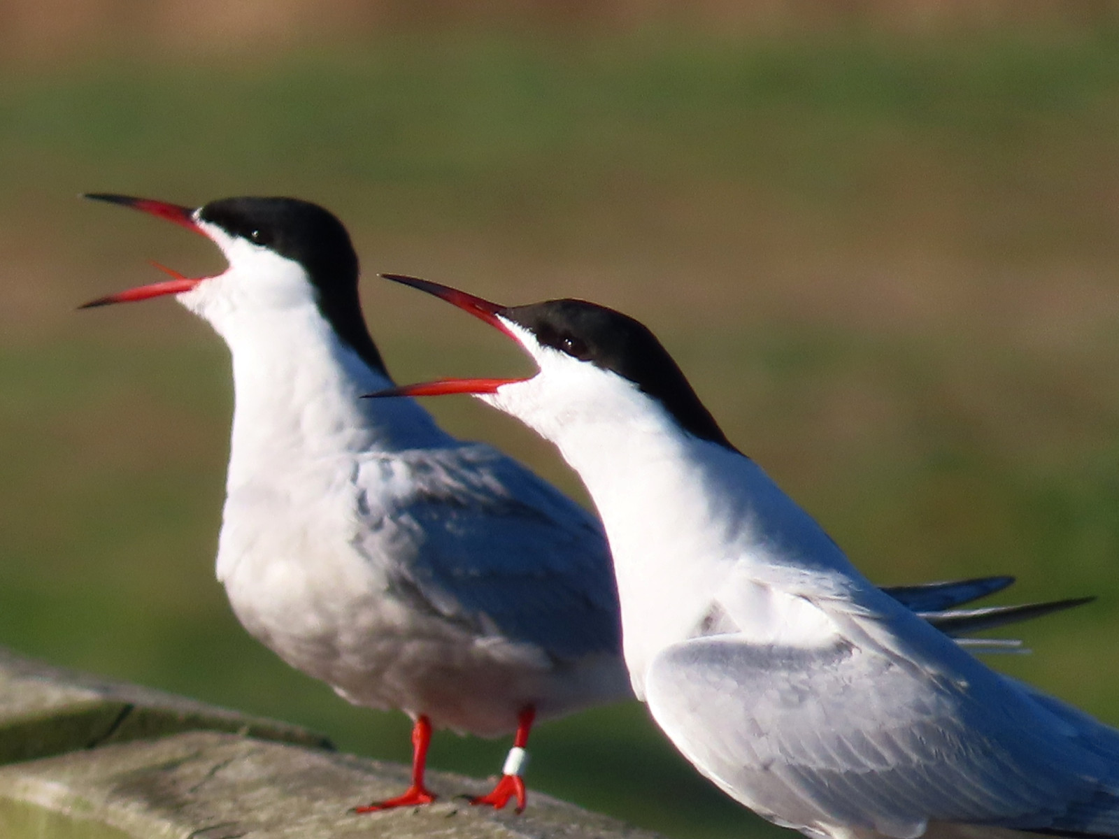
The Deestse Waarden is a newly developed area where the river Waal is allowed to take its own course and bring changes to the landscape due to high and low water. The area consists of secondary channels, small pools, fields with rough grasses, prickly bushes and various small patches of marshy forest. During periods of high water, large parts of the area can be inaccessible.The river nature is abundant and birds that can be seen are Avocette élégante, Petit Gravelot, Tadorne de Belon, Balbuzard pêcheur, Canard souchet, Grande Aigrette, Faucon pèlerin, Martin-pêcheur d'Europe, Gorgebleue à miroir, Harle bièvre.
_________________________
Nederlands: In de Deestse Waarden langs de zuidelijke Waaloever bij Deest is een grote verscheidenheid aan vogels te vinden. Hier mag de rivier zijn gang gaan en veranderingen in het landschap brengen door hoog- en laagwater. Het gebied bestaat uit nevengeulen, kleine plassen, velden met ruige grassen, stekelige struiken en diverse kleine moerasbosjes. Tijdens perioden van hoog water kunnen grote delen van het gebied niet toegankelijk zijn. Vogels die je hier kunt tegenkomen zijn Avocette élégante, Petit Gravelot, Tadorne de Belon, Balbuzard pêcheur, Canard souchet, Grande Aigrette, Faucon pèlerin, Martin-pêcheur d'Europe, Gorgebleue à miroir, Harle bièvre.
The Deestse Waarden is located near the village of Deest. Park at the parking lot at the beginning of the pedestrian path or halfway. Press a p on the map for directions to a parking lot. From the parking lot, the area is accessible via hiking trails or a route of your choice. It is a wandering area where you are free to choose the route yourself. The circular walk shown on the map is approximately 7 km long.
_________________________
Nederlands: De Deestse Waarden liggen bij het dorp Deest. Parkeren bij parkeerplaats aan begin voetgangerspad of halverwege. Druk op een p in de kaart voor een routebeschrijving naar een parkeerplaats. Vanaf de parkeerplaats is het gebied toegankelijk via wandelpaden of een zelf te kiezen route. Het is dus een struingebied waarbij jezelf de route mag kiezen. De rondwandeling die is weergegeven op de kaart is ongeveer 7 km lang.
 ) Insérez les noms d'oiseau dans votre langue. Ils seront automatiquement traduits pour les autres usagers !
Votre feedback sera transmis à l’auteur.rice de cette zone et à l’équipe éditoriale de Birdingplaces, qui l’utiliseront pour améliorer la qualité des informations. (Vous souhaitez publier un commentaire visible en bas de page ? Fermez cette fenêtre et choisissez l’Option 1 : « Publier un commentaire, un conseil ou une observation ».)
Veuillez fournir des suggestions d'améliorations ou d'ajouts au texte de ce site ornithologique.
Veuillez fournir vos suggestions d'améliorations ou d'ajouts à la carte.
Veuillez fournir des suggestions d'améliorations ou d'ajouts à la liste des oiseaux.
Cliquez sur l'icône de l'oiseau () Insérez les noms d'oiseau dans votre langue. Ils seront automatiquement traduits pour les autres usagers !