


Charger images
Les formats d'image autorisés sont de type jpeg, png ou gif
La taille maximale du fichier doit être de 20MB


The Qaa er Rim - Sannine mountains are located in the Mount Lebanon Range, at the limit between Keserwan district and Bekaa District. Snow cover: May-October.
The area is an IBA (important bird area) as defined by Birdlife International. Birdlife International and the SPNL (Society for the Protection of Nature in Lebanon, see website) have worked to describe the importance of this site for breeding and migrating bird species in the "State of Lebanon's Birds and IBAs", printed in 2014 by Dar Bilal for printing and publishing.
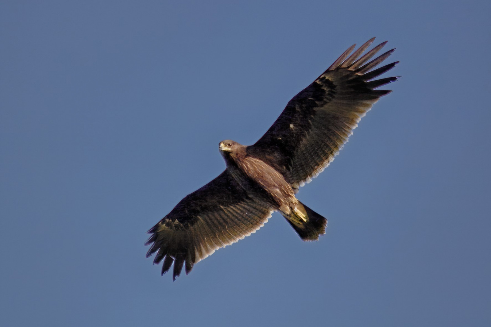
This site is relevant for soaring bird migration observation as well as for field data collection on specialist breeding species restricted to mediterranean biomes. Birds that breed in the area include Traquet oreillard, Fauvette mélanocéphale, Fauvette à lunettes, Bruant cendrillard, Bruant mélanocéphale and Sittelle de Neumayer.
Lebanon's highlands and countryside are typically under-prospected areas and wildlife conservation would benefit from a more important observation pressure and more data collection.
The site is located northwest of the town of Zahle. Access is possible via unpaved roads from the towns of Hazerta or Qaa er Rim with SUV or 4WD vehicles. Hiking with a local guide or even better with a birding tour guide is recommended.
Sometimes in parts of Lebanon, equipment such as binoculars and spotting scopes can be suspicious to locals if the user is not part of a scientific research program or a known wildlife conservation NGO. When in doubt, seek permission from local authorities.
The mountainous area is a preferential migration route for birds during autumn migration. Ilegal hunting is exessively present during this time of year. Caution is needed.
 ) Insérez les noms d'oiseau dans votre langue. Ils seront automatiquement traduits pour les autres usagers !
Votre feedback sera transmis à l’auteur.rice de cette zone et à l’équipe éditoriale de Birdingplaces, qui l’utiliseront pour améliorer la qualité des informations. (Vous souhaitez publier un commentaire visible en bas de page ? Fermez cette fenêtre et choisissez l’Option 1 : « Publier un commentaire, un conseil ou une observation ».)
Veuillez fournir des suggestions d'améliorations ou d'ajouts au texte de ce site ornithologique.
Veuillez fournir vos suggestions d'améliorations ou d'ajouts à la carte.
Veuillez fournir des suggestions d'améliorations ou d'ajouts à la liste des oiseaux.
Cliquez sur l'icône de l'oiseau () Insérez les noms d'oiseau dans votre langue. Ils seront automatiquement traduits pour les autres usagers !