


Charger images
Les formats d'image autorisés sont de type jpeg, png ou gif
La taille maximale du fichier doit être de 20MB

With an area of 6500 hectare, this protected area is home to a very rich flora and fauna. A large network of beautiful trails across different habitats.
Jabal Moussa Biosphere Reserve is located in the Kesrouan District, on the shoulders of the western slopes of Mount Lebanon Chain, overlooking the Mediterranean Sea to the West. It covers an area of 6500 hectares, at an altitude ranging between 350 meters in the North-West and 1,700 meters to the South-East.
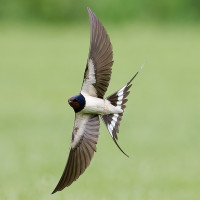
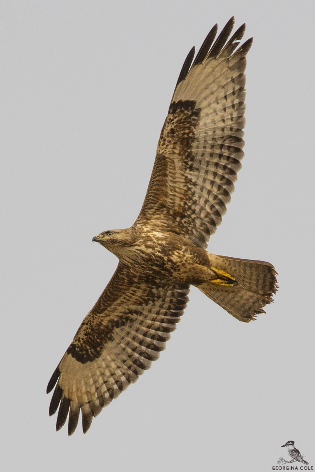
Jabal Moussa Biosphere Reserve is of interest for soaring bird migration as well as various passerines. The setting is quite magical and very calming. A hike to the summit of Jabal Moussa will reward you with an exceptional panoramic view. The site's archeological heritage is also appealing, as well as it's beautiful karst rock formations.
Jabal Moussa Biosphere Reserve is located 50 km away from Beirut, and 20 km away from Jbeil. You can access Jabal Moussa from 4 entrances: Yahchouch (Assnawbar, 1 on map), Chouwan (2 on map), Nahr ed Dahab (Mchati, 3 on map) and Qehmez (Baydar el-shawk, 4 on map). Entry fee 4 $ (2025).
Access by car is possible via Chouwan (valley and lake) and Qehmez entance (mountainous karstic setting). There are several trails to explore the area. Depending on the trails chosen, trails range from moderate to very strenuous. The circular walk shown on the map is about 6 km.
On the website of the reserve (see link below) you can find more information on trails and access points.
 ) Insérez les noms d'oiseau dans votre langue. Ils seront automatiquement traduits pour les autres usagers !
Votre feedback sera transmis à l’auteur.rice de cette zone et à l’équipe éditoriale de Birdingplaces, qui l’utiliseront pour améliorer la qualité des informations. (Vous souhaitez publier un commentaire visible en bas de page ? Fermez cette fenêtre et choisissez l’Option 1 : « Publier un commentaire, un conseil ou une observation ».)
Veuillez fournir des suggestions d'améliorations ou d'ajouts au texte de ce site ornithologique.
Veuillez fournir vos suggestions d'améliorations ou d'ajouts à la carte.
Veuillez fournir des suggestions d'améliorations ou d'ajouts à la liste des oiseaux.
Cliquez sur l'icône de l'oiseau () Insérez les noms d'oiseau dans votre langue. Ils seront automatiquement traduits pour les autres usagers !