


Charger images
Les formats d'image autorisés sont de type jpeg, png ou gif
La taille maximale du fichier doit être de 20MB
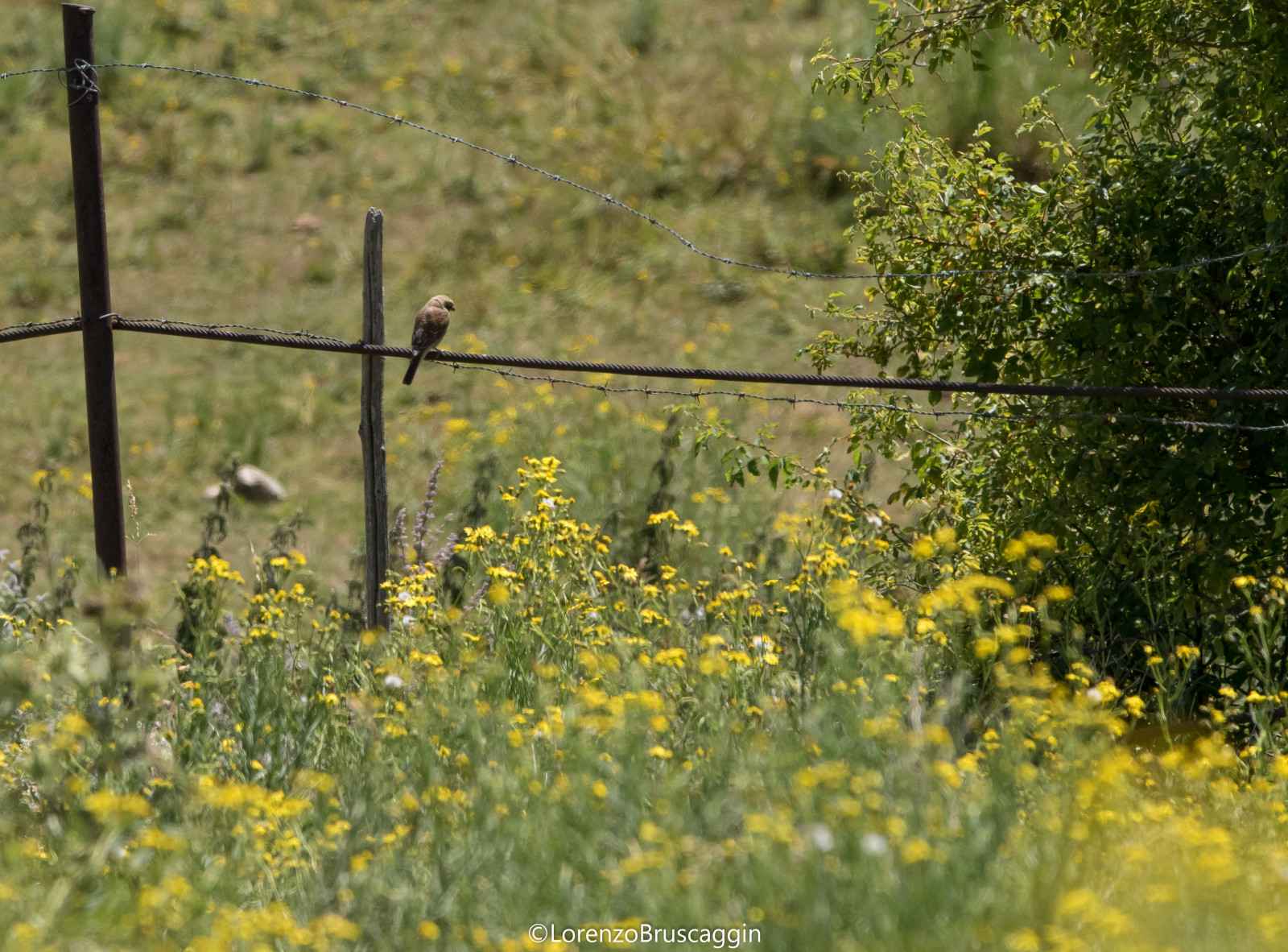
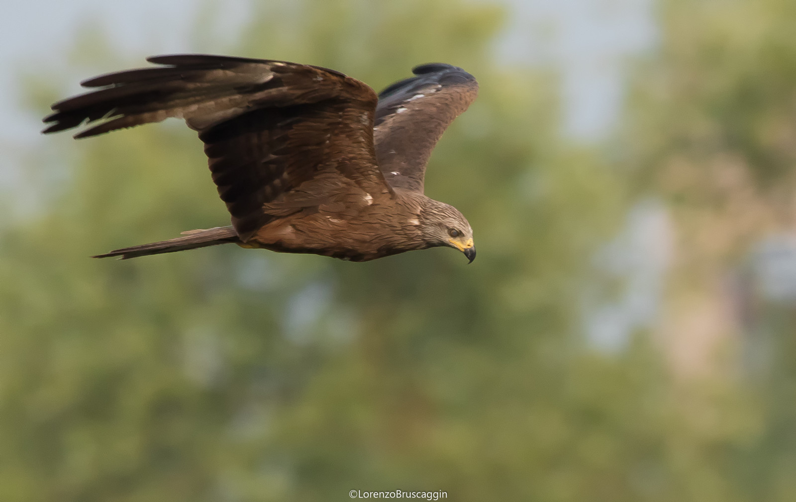
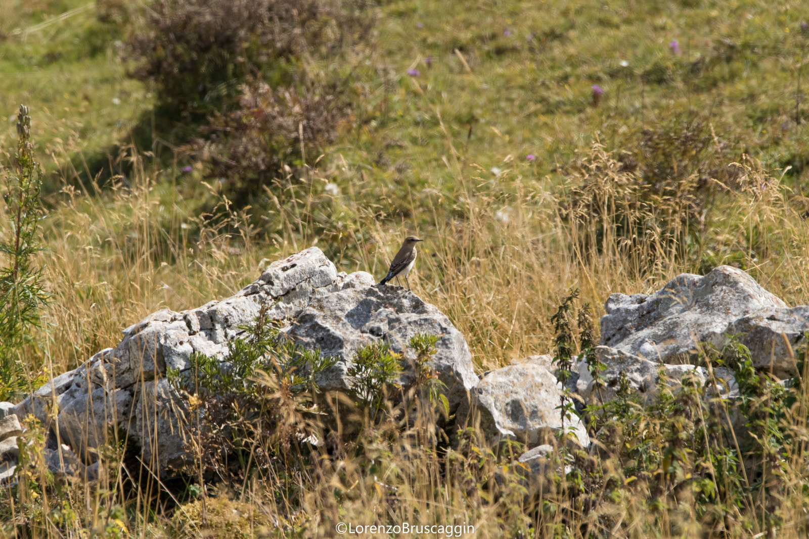
Monte Baldo has unique characteristics being in a strategic position and allows the sighting of a lot of fauna and birdlife.
Valfredda and Creste di Naole consists of a ridge parallel to Lake Garda which stretches for 40 km. Between the lake to the west and the Vallagarina to the east. To the south, the ridge is bordered by the Caprino plain and to the north by the Loppio valley. Mount Baldo reaches its maximum height at 2,218 m at Cima Valdritta, and its minimum height at 65 m on Lake Garda, with a topographic prominence of over 2,000 m. The ridge can be divided into three parts: the mountain range in the western sector; the Ferrara di Monte Baldo central plateau, which maintains a height of about 1 000 m; the minor anticline to the east, i.e. the ridges overlooking the Adige valley. The considerable presence of limestone rocks has favored many karst phenomena, in fact several monoliths, bowls and above all sinkholes, depressions that open towards deeper caves are visible.
_________________________
Italiano: Il monte Baldo presenta caratteristiche uniche essendo in posizione strategica e permette l'avvistamento di molta fauna ed avifauna. Il monte Baldo è caratterizzato da una notevole individualità geografica. È costituito da una dorsale parallela al lago di Garda che si allunga per 40 km, tra il lago a ovest e la Vallagarina a est. A sud la dorsale è delimitata dalla piana di Caprino e a nord dalla valle di Loppio. Il monte Baldo raggiunge la sua altezza massima ai 2 218 m di cima Valdritta, e la sua altezza minima ai 65 m sul lago di Garda con una prominenza topografica dunque di oltre 2 000 m.
La dorsale è costituita da una piega anticlinale con vergenza verso est. La dorsale può essere divisa in tre parti: l'anticlinale maggiore, ovvero la catena montuosa nel settore occidentale; la sinclinale di Ferrara di Monte Baldo, cioè l'altopiano centrale, che mantiene un'altezza di circa 1 000 m; l'anticlinale minore a est, ovvero le creste che si affacciano sulla valle dell'Adige. La catena maggiore è formata da due parti, il monte Baldo e il monte Altissimo, che rimane isolato. La notevole presenza di rocce calcaree ha favorito molti fenomeni carsici, sono infatti visibili parecchi monoliti, conche e soprattutto doline, depressioni che si aprono verso grotte più profonde.
There are various access points, one of the most interesting is Malga Valfredda where you can park your car and set off on foot. Click on the P in the map for directions. The circular walking route indicated on the map is about 8 km.
_________________________
Italiano: Ci sono vari punti di accesso, uno dei più interessanti è Malga Valfredda in cui si può parcheggiare l'auto e partire a piedi. Clicca sulla P nella mappa per le indicazioni stradali. Il percorso circolare a piedi indicato sulla mappa è di circa 8 km.
 ) Insérez les noms d'oiseau dans votre langue. Ils seront automatiquement traduits pour les autres usagers !
Votre feedback sera transmis à l’auteur.rice de cette zone et à l’équipe éditoriale de Birdingplaces, qui l’utiliseront pour améliorer la qualité des informations. (Vous souhaitez publier un commentaire visible en bas de page ? Fermez cette fenêtre et choisissez l’Option 1 : « Publier un commentaire, un conseil ou une observation ».)
Veuillez fournir des suggestions d'améliorations ou d'ajouts au texte de ce site ornithologique.
Veuillez fournir vos suggestions d'améliorations ou d'ajouts à la carte.
Veuillez fournir des suggestions d'améliorations ou d'ajouts à la liste des oiseaux.
Cliquez sur l'icône de l'oiseau () Insérez les noms d'oiseau dans votre langue. Ils seront automatiquement traduits pour les autres usagers !