


Charger images
Les formats d'image autorisés sont de type jpeg, png ou gif
La taille maximale du fichier doit être de 20MB


Wetland crossed by numerous dirt roads in a plain that once was the largest lake in Tuscany.
The Site occupies part of the river of the former Lake Bientina, the largest lake in Tuscany drained at the end of the 1800s, which forms the plain between the Pisani Mountains to the east, the hills of the Cerbaie to the west and the inhabited Altopascio, Porcari and Capannori to the north and Bientina to the south. The most depressed areas have seasonal flooding, sometimes even prolonged, where the conditions are great for numerous species of water birds.
_________________________
Italiano: Zona umida attraversata da numerose strade sterrate. Il lago di Bientina o di Sesto, ancora nella prima metà dell'Ottocento, costituiva il lago più grande della Toscana. Non lontano dal Padule di Fucecchio e ubicato nella depressione fra la piana lucchese e il corso dell'Arno, era in parte sotto il controllo del Granducato di Toscana e in parte sotto quello di Lucca.
Wetland and grasslands that you can explore on foot, bike and partly car.
_________________________
Italiano: Zone umide e praterie che si possono esplorare a piedi, in bicicletta e in parte in auto.
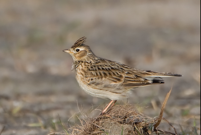
 ) Insérez les noms d'oiseau dans votre langue. Ils seront automatiquement traduits pour les autres usagers !
Votre feedback sera transmis à l’auteur.rice de cette zone et à l’équipe éditoriale de Birdingplaces, qui l’utiliseront pour améliorer la qualité des informations. (Vous souhaitez publier un commentaire visible en bas de page ? Fermez cette fenêtre et choisissez l’Option 1 : « Publier un commentaire, un conseil ou une observation ».)
Veuillez fournir des suggestions d'améliorations ou d'ajouts au texte de ce site ornithologique.
Veuillez fournir vos suggestions d'améliorations ou d'ajouts à la carte.
Veuillez fournir des suggestions d'améliorations ou d'ajouts à la liste des oiseaux.
Cliquez sur l'icône de l'oiseau () Insérez les noms d'oiseau dans votre langue. Ils seront automatiquement traduits pour les autres usagers !