


Charger images
Les formats d'image autorisés sont de type jpeg, png ou gif
La taille maximale du fichier doit être de 20MB


Shallow lake (3 km long and 1 km wide) that is formed each winter when the Dunkellin River floods.
Rahasane turlough is the largest surviving turlough (an intermittent lake) in Ireland. It is an important location for migrating birds, and wintering ground for the Oie rieuse. It is one of the few known breeding grounds in Ireland of the Canard siffleur. The Sarcelle d'été can be seen on occasion. And it is a very good place to spot accidental visitors from America, such as Canard d'Amérique, and from Europe, such as Guifette noire.
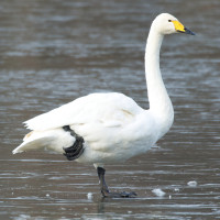
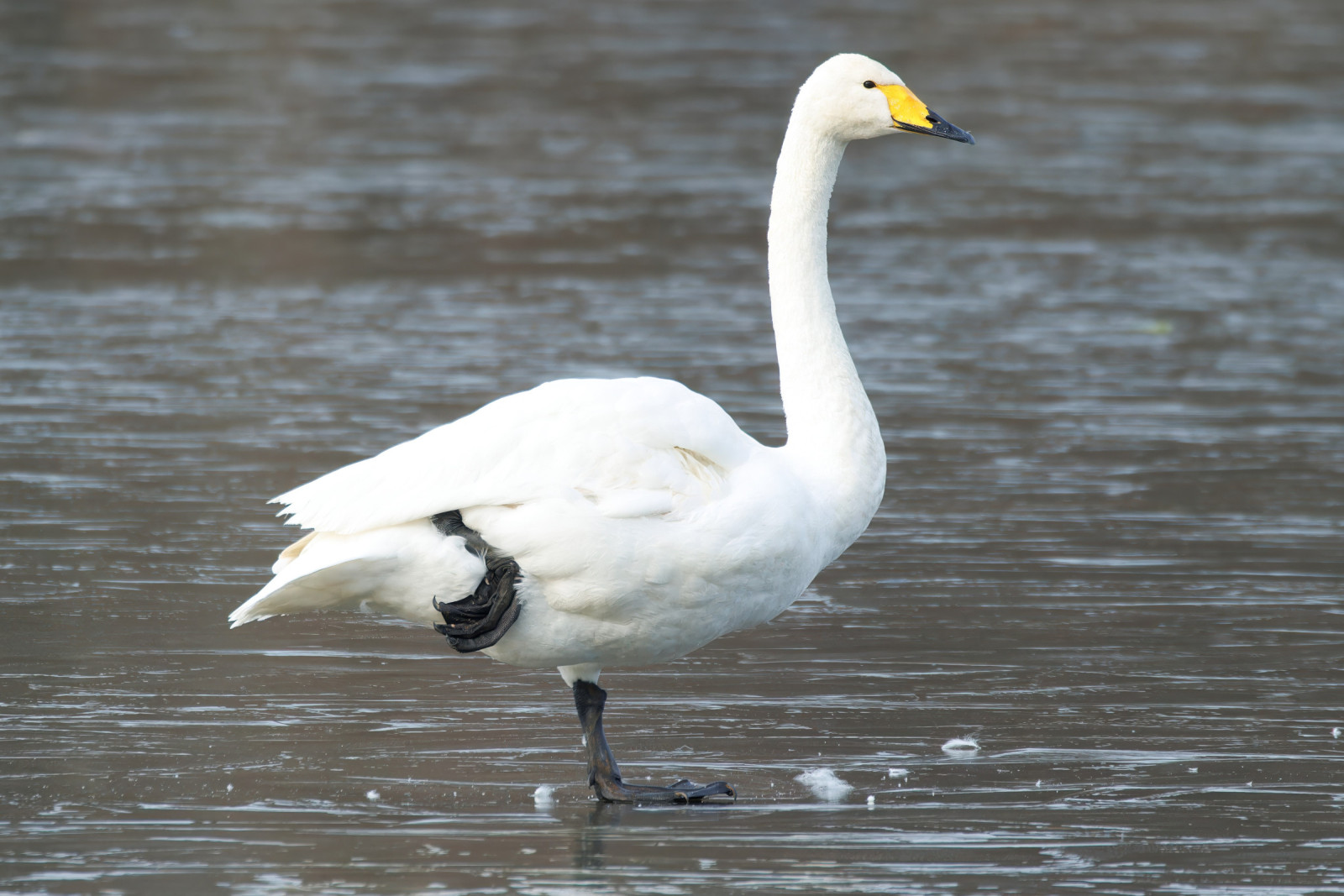
In winter you can find Greenland Oie rieuse (nationally important numbers) and Cygne chanteur are regular in small numbers. There are often large numbers of Canard siffleur, whilst Canard colvert, Sarcelle d'hiver, Canard souchet, Fuligule morillon and Fuligule milouin will also be present. There is a good chance of Canard pilet and Canard chipeau, which are not easy to find in Galway. Winter waders include large numbers of Pluvier doré and Vanneau huppé , with Courlis cendré, Chevalier gambette, Barge à queue noire and Bécasseau variable as a supporting cast. In autumn there are often rarer waders if water levels are favourable. Birds like Chevalier à pattes jaunes, Chevalier sylvain, Combattant varié, Bécasseau cocorli, Bécassine sourde and Pluvier guignard have been seen.
This site is best reached from the main N18 Galway to Limerick road. At Kilcolgan (18 km, 11 m, south of Galway) turn left onto the minor road to Craughwell. After a few km the turlough will be seen to the right of the road. There are several viewpoints along the road and from lane ends leading from it. Please take care when parking.
A turlough is a karst lake, which has no surface outlet and is surrounded on all sides by rising land. At Rahasane the drainage has been modified in that since the nineteenth century the Dunkellin river has followed an artificial channel downstream of the turlough, but part of the flow continues to go underground, via a natural sink, into the underlying limestone. Rahasane consists of two basins which are connected at times of flood but separated as the waters decline. It covers 257 ha. The site comprises marshes, seasonally flooded wet meadows, with limestone outcrops and scrub at its margins. In the summer the lake empties and the basin is grazed by cattle, horses and sheep.
 ) Insérez les noms d'oiseau dans votre langue. Ils seront automatiquement traduits pour les autres usagers !
Votre feedback sera transmis à l’auteur.rice de cette zone et à l’équipe éditoriale de Birdingplaces, qui l’utiliseront pour améliorer la qualité des informations. (Vous souhaitez publier un commentaire visible en bas de page ? Fermez cette fenêtre et choisissez l’Option 1 : « Publier un commentaire, un conseil ou une observation ».)
Veuillez fournir des suggestions d'améliorations ou d'ajouts au texte de ce site ornithologique.
Veuillez fournir vos suggestions d'améliorations ou d'ajouts à la carte.
Veuillez fournir des suggestions d'améliorations ou d'ajouts à la liste des oiseaux.
Cliquez sur l'icône de l'oiseau () Insérez les noms d'oiseau dans votre langue. Ils seront automatiquement traduits pour les autres usagers !