


Charger images
Les formats d'image autorisés sont de type jpeg, png ou gif
La taille maximale du fichier doit être de 20MB
Rocky, dry, hilly island with Mediterranean pine forests and olive groves. Important stopover for migrating birds, especialy in spring.
Gavdos is the southernmost Greek island, located to the south of the much larger island of Crete. The island is rocky and hilly and roughly triangular in shape. Its highest point is Mount Vardia with 345 metres. Gavdos has been designated by BirdLife International as an Important Bird Area. Gavdos has forests of pines and junipers, olive groves and a variety of other vegetation, such as maquis.
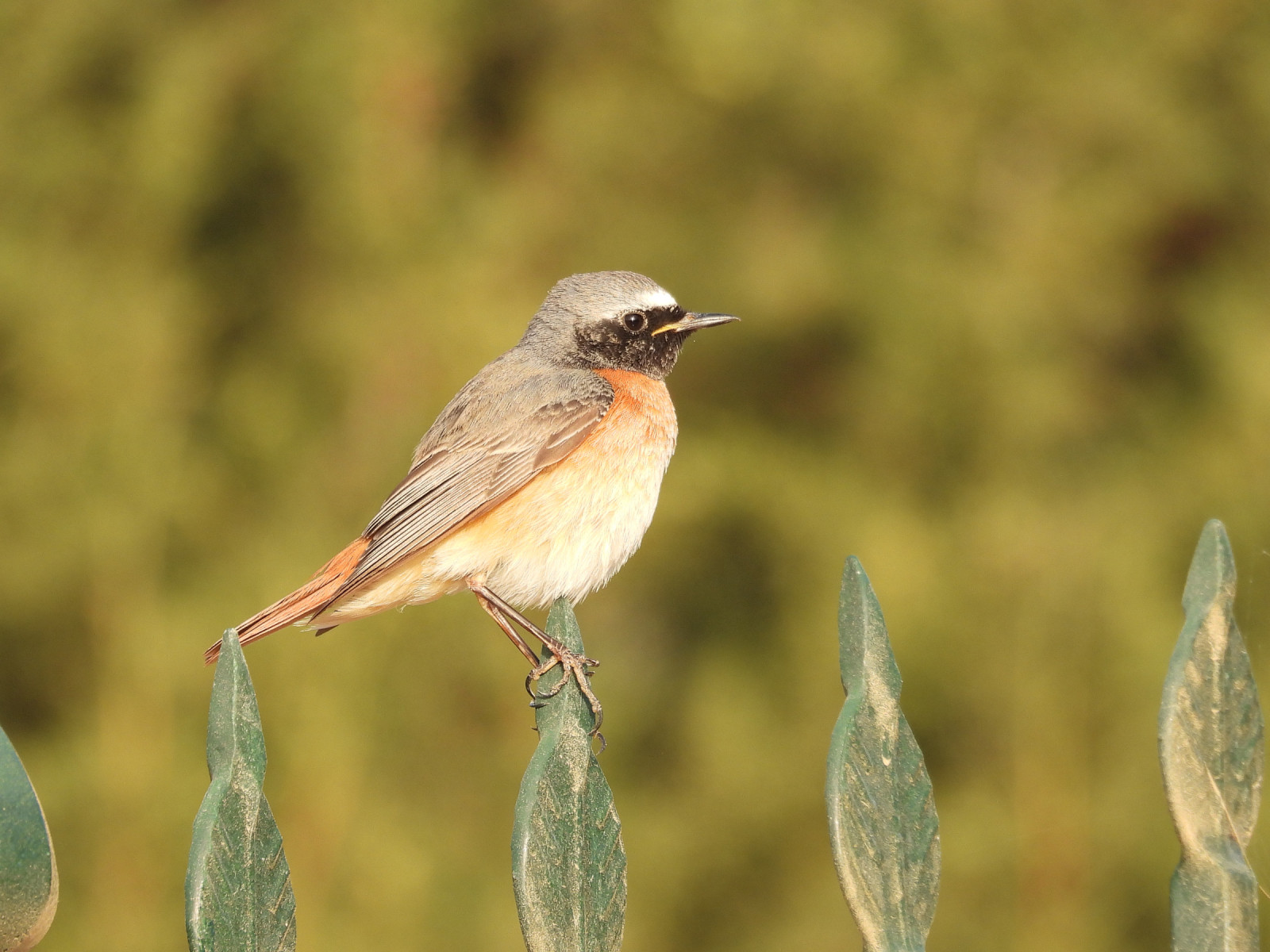
During bird migration in spring many birds make a stopover on the island. For example in the spring of 2024 at the Gavdos Bird Observatory, 74 bird species were ringed. The most abundant species were Fauvette des jardins (705), Guêpier d'Europe (373), Gobemouche gris (342) and Fauvette à tête noire (281).
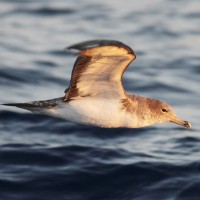
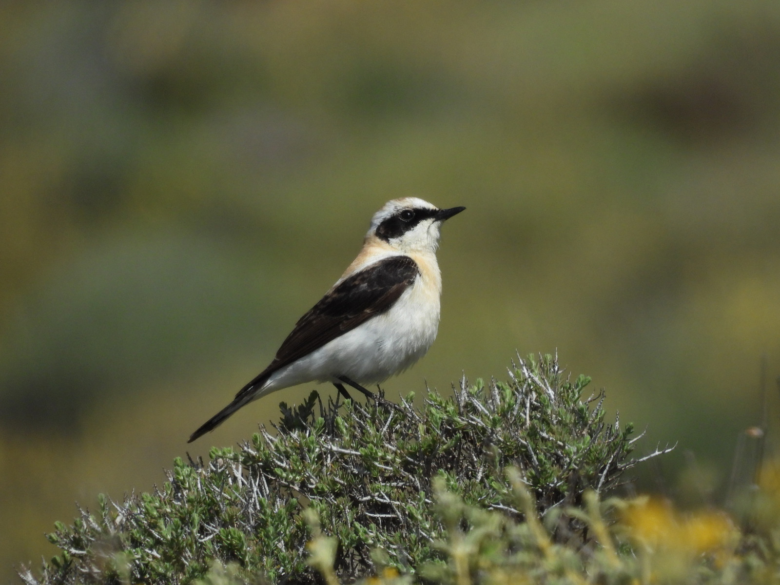
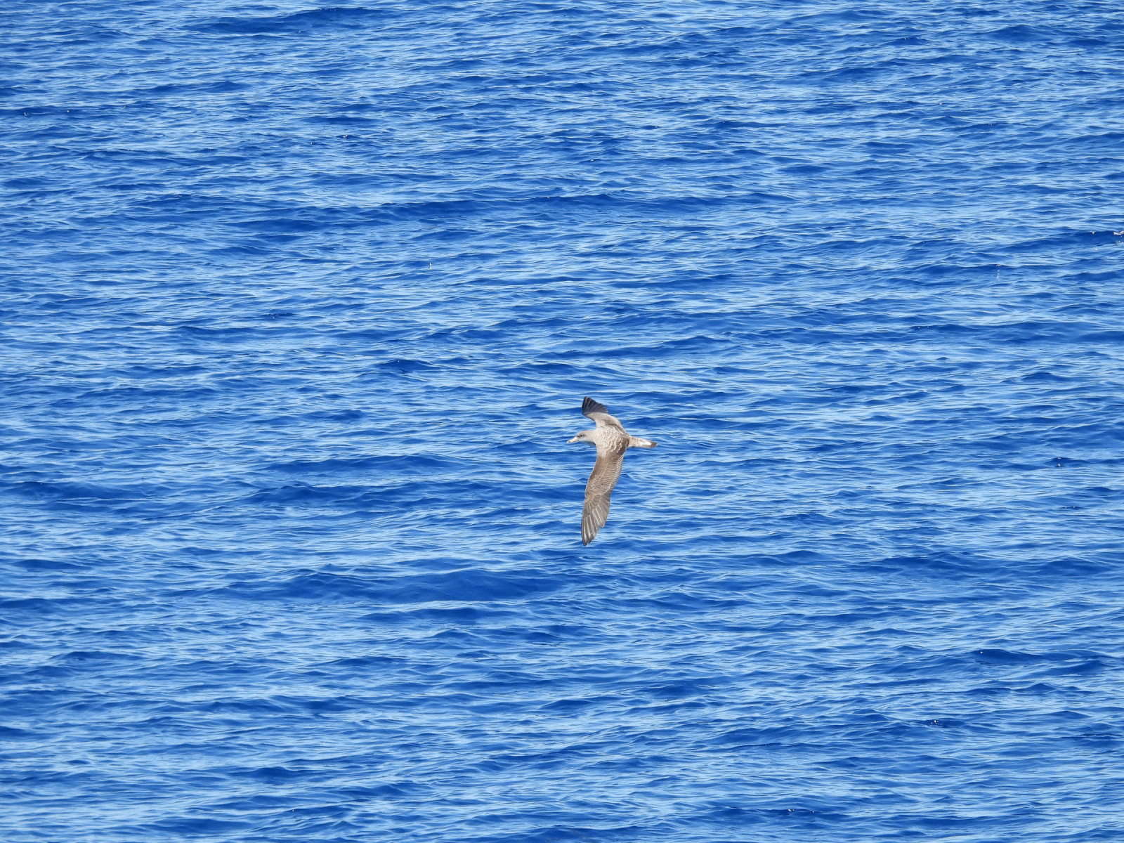
Among the other bird species you can encounter on the island or have been recorded on the island are Tourterelle des bois, Perdrix choukar, Engoulevent d'Europe, Bécassine double, Cormoran huppé ,Crabier chevelu, Bondrée apivore, Busard des roseaux, Petit-duc scops, Guêpier de Perse, Rollier d'Europe, Faucon d'Éléonore, Pie-grièche à tête rousse, Hypolaïs pâle, Pouillot oriental, Gobemouche à demi-collier, Monticole bleu, Traquet isabelle, Traquet oreillard, Moineau espagnol, Roselin githagine and Puffin de Scopoli.
Gavdos is only accessible by ferry from the island of Crete from the small harbours of Paleochora and Chora Sfakion. The ferry company is called Anendyk (see the link below). Mostly the small car ferry departs 3 days a week from Paleochora (e.g.Monday to Wednesday) and 3 days from Chora Sfakion (e.g. Thursday to Saturday). Always check the departure times on the website as there are constant changes.
The island is 25 Km2 with quit good roads. Best to travel by car. In the low season, buses only run the route between Karave (harbor) - Sarakiniko and Agios Ioannis. During the summer months, all villages on the island are served daily. There are good possibilities to hike on the island as there are many paths and roads you can explore on foot. On the map you see some options for walking.
 ) Insérez les noms d'oiseau dans votre langue. Ils seront automatiquement traduits pour les autres usagers !
Votre feedback sera transmis à l’auteur.rice de cette zone et à l’équipe éditoriale de Birdingplaces, qui l’utiliseront pour améliorer la qualité des informations. (Vous souhaitez publier un commentaire visible en bas de page ? Fermez cette fenêtre et choisissez l’Option 1 : « Publier un commentaire, un conseil ou une observation ».)
Veuillez fournir des suggestions d'améliorations ou d'ajouts au texte de ce site ornithologique.
Veuillez fournir vos suggestions d'améliorations ou d'ajouts à la carte.
Veuillez fournir des suggestions d'améliorations ou d'ajouts à la liste des oiseaux.
Cliquez sur l'icône de l'oiseau () Insérez les noms d'oiseau dans votre langue. Ils seront automatiquement traduits pour les autres usagers !