


Charger images
Les formats d'image autorisés sont de type jpeg, png ou gif
La taille maximale du fichier doit être de 20MB

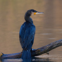
Abandoned sand- and gravel pit north of Brelingen (region Hannover), used as fishing pond and recreation area.
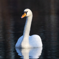
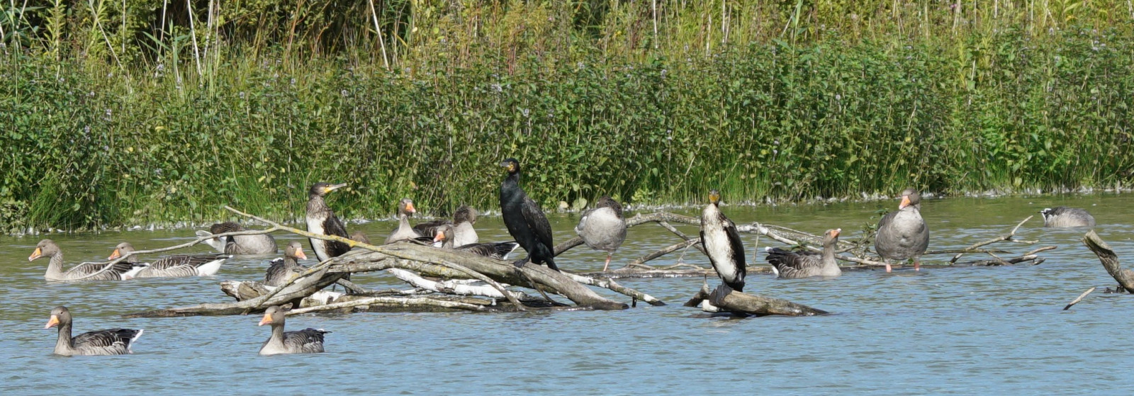
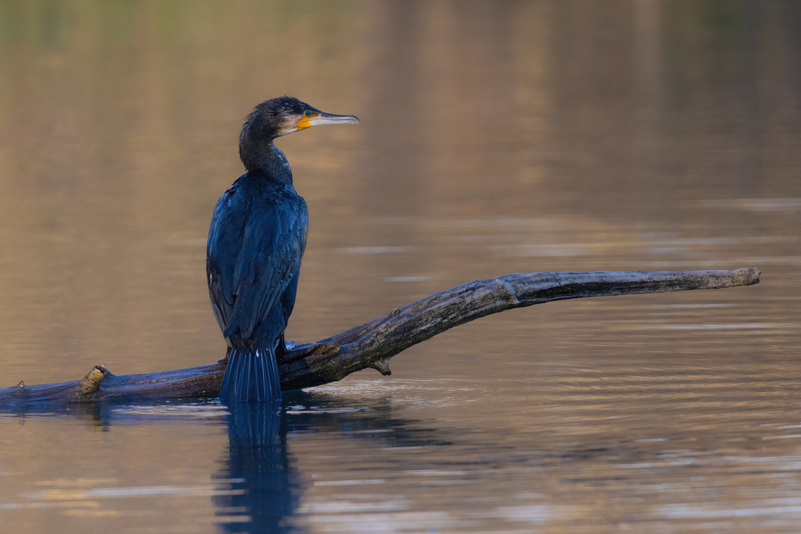
Brelingen Kiesteich has a water surface of 12 hectares and is a maximum of 6 m deep. The total biotope area is around 24 hectares. The pond is managed by the Neustadt Rbge e.V. fishing club. In collaboration with the Hanover Region, the pond was also made available for recreational use. A path leads 2/3 around the pond. Among the birds you can see in the area are Oie à tête barrée, Ouette d'Égypte, Oie cendrée, Héron cendré, Grand Cormoran, Canard colvert, Cygne tuberculé and Foulque macroule. At times big groups of Oie cendrée can be observed.
Brelingen Kiesteich is located directly above the village of Brelingen. There is a parking lot in the southwest corner of the area. Click on the P in the map for directions. S-Bahn from Hannover to Bennemühlen, bus to Brelingen Windmühlenberg. The circular walking route indicated on the map is about 2 km.
 ) Insérez les noms d'oiseau dans votre langue. Ils seront automatiquement traduits pour les autres usagers !
Votre feedback sera transmis à l’auteur.rice de cette zone et à l’équipe éditoriale de Birdingplaces, qui l’utiliseront pour améliorer la qualité des informations. (Vous souhaitez publier un commentaire visible en bas de page ? Fermez cette fenêtre et choisissez l’Option 1 : « Publier un commentaire, un conseil ou une observation ».)
Veuillez fournir des suggestions d'améliorations ou d'ajouts au texte de ce site ornithologique.
Veuillez fournir vos suggestions d'améliorations ou d'ajouts à la carte.
Veuillez fournir des suggestions d'améliorations ou d'ajouts à la liste des oiseaux.
Cliquez sur l'icône de l'oiseau () Insérez les noms d'oiseau dans votre langue. Ils seront automatiquement traduits pour les autres usagers !