Charger images
Les formats d'image autorisés sont de type jpeg, png ou gif
La taille maximale du fichier doit être de 20MB
A more or less steep trail in primary forest. There is a hut at the top and a nice observation point.
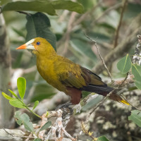
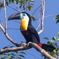
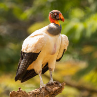
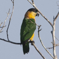
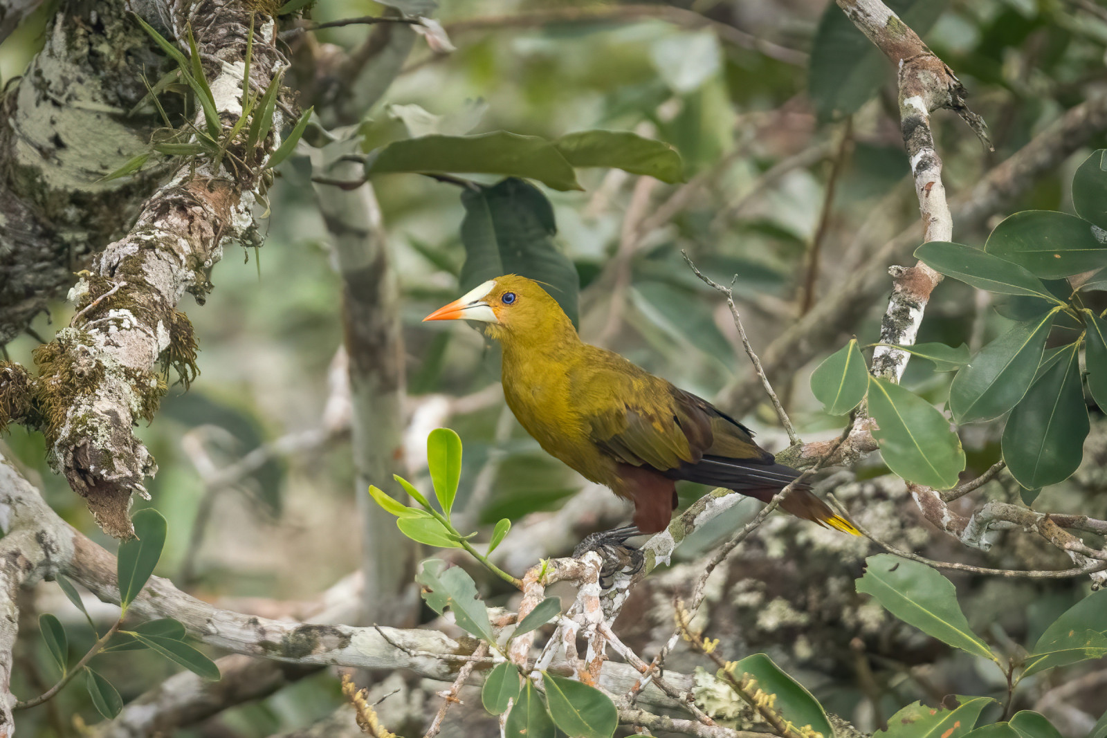
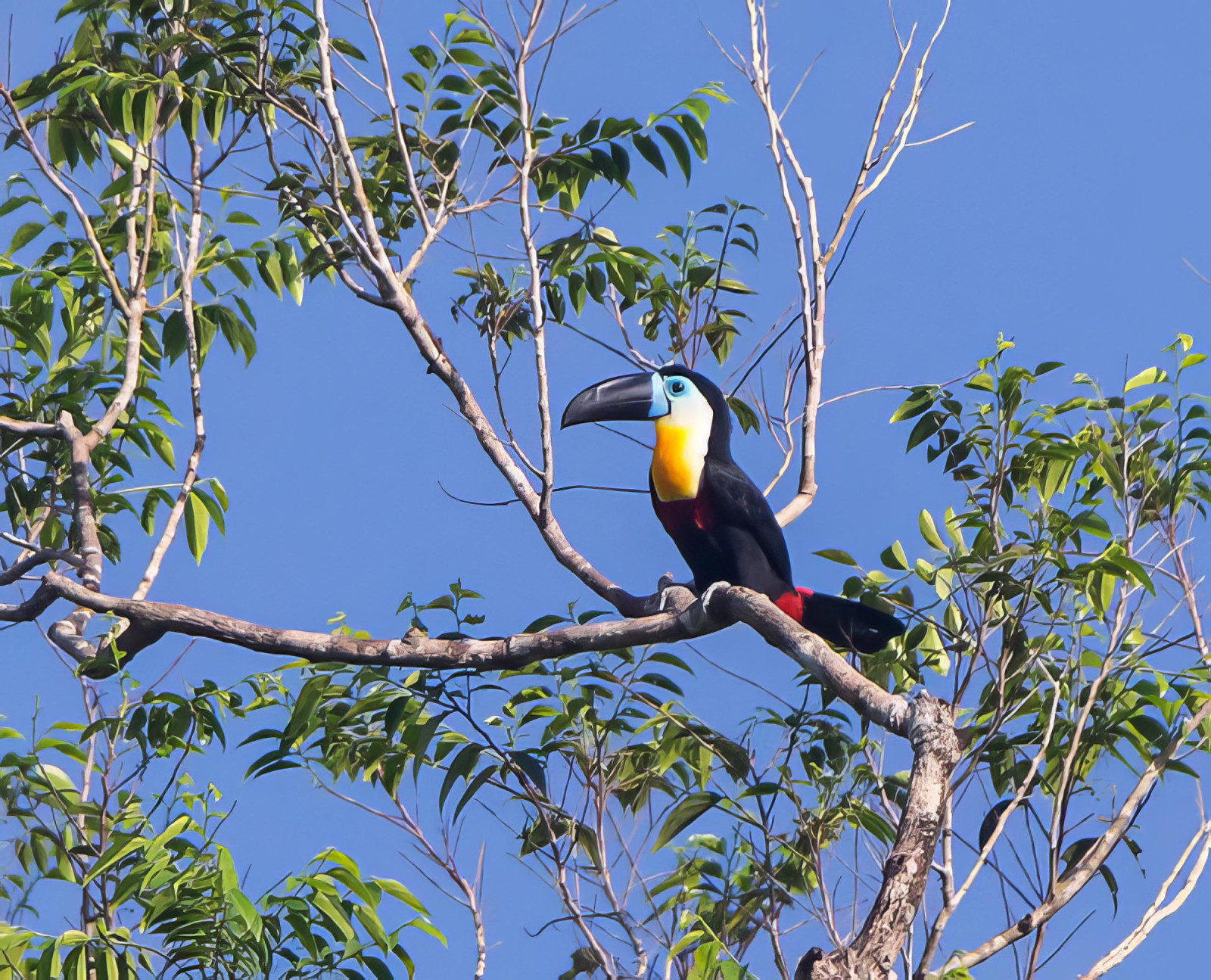
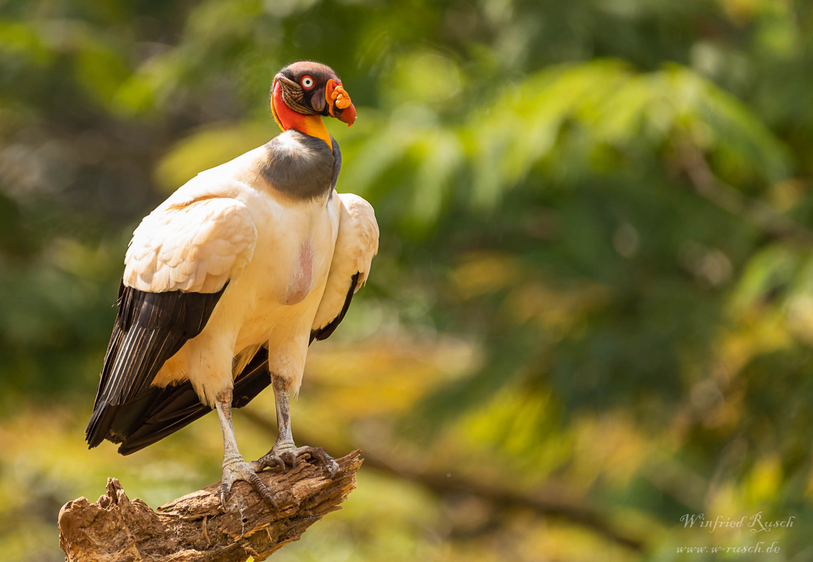
Montagne des Singes allows the observation of numerous undergrowth species, other taxa are easily observable (mammals, snakes, etc.). Among the most frequently observed birds there are: Cinereous Tinamou, Amazonian Motmot, Blue-headed Parrot, Fasciated Antshrike, Mouse-colored Antshrike, Wedge-billed Woodcreeper, Screaming Piha, Bright-rumped Attila, Green-backed Trogon, Buff-throated Saltator, Black-eared Fairy, Boat-billed Flycatcher, Green Oropendola, Black Vulture, Guianan Trogon, Channel-billed Toucan, Waved Woodpecker, Mealy Amazon, Spot-winged Antbird, Chestnut-rumped Woodcreeper, Coraya Wren, Crested Oropendola, Fulvous Shrike-Tanager, White-throated Toucan, Fork-tailed Woodnymph, Barred Antshrike, Guianan Warbling-Antbird, Red-necked Woodpecker, Caica Parrot, Black-headed Antbird, Blue-backed Manakin, Yellow-green Grosbeak, Bananaquit, King Vulture, Turquoise Tanager, Double-toothed Kite, White-plumed Antbird, Black-headed Parrot, Painted Tody-Flycatcher, Guianan Tyrannulet, Red-legged Honeycreeper, Green Honeycreeper, Wing-barred Seedeater, White Hawk, Blue Dacnis, Paradise Tanager, Purple Honeycreeper, Rufous-throated Sapphire, Lineated Woodpecker, Guianan Toucanet, Black-necked Aracari, Brown-throated Parakeet, Purple-throated Fruitcrow, Black Hawk-Eagle, Ruddy Ground Dove, White-fringed Antwren and Guianan Puffbird.
________________________
Français:La Montagne des Singes est un sentier plus ou moins escarpé en foret primaire. Il y a un carbet au sommet et un joli point d'observation. Le site permet l'observation de nombreuses espèces de sous bois, d'autres taxons sont observables facilements (mammifères, serpents, ....).
To get there you have to take the road of the degrad of Saramaca. Two thirds of the way along the road it is possible to park on the right in front of the start of the trail which is quite well marked. The 3,5 km trail is done on foot, bring good shoes, the terrain is quite steep.
________________________
Français: Pour s'y rendre il faut emprunter la route du degrad de Saramaca. Au deux tiers de la route il est possible de se garer sur la droite devant le début du sentier qui est assez bien balisé. Le sentier (3,5 km) se fait a pied, prévoir de bonne chaussures, le terrain est assez escarpé.

 ) Insérez les noms d'oiseau dans votre langue. Ils seront automatiquement traduits pour les autres usagers !
Votre feedback sera transmis à l’auteur.rice de cette zone et à l’équipe éditoriale de Birdingplaces, qui l’utiliseront pour améliorer la qualité des informations. (Vous souhaitez publier un commentaire visible en bas de page ? Fermez cette fenêtre et choisissez l’Option 1 : « Publier un commentaire, un conseil ou une observation ».)
Veuillez fournir des suggestions d'améliorations ou d'ajouts au texte de ce site ornithologique.
Veuillez fournir vos suggestions d'améliorations ou d'ajouts à la carte.
Veuillez fournir des suggestions d'améliorations ou d'ajouts à la liste des oiseaux.
Cliquez sur l'icône de l'oiseau () Insérez les noms d'oiseau dans votre langue. Ils seront automatiquement traduits pour les autres usagers !