


Charger images
Les formats d'image autorisés sont de type jpeg, png ou gif
La taille maximale du fichier doit être de 20MB
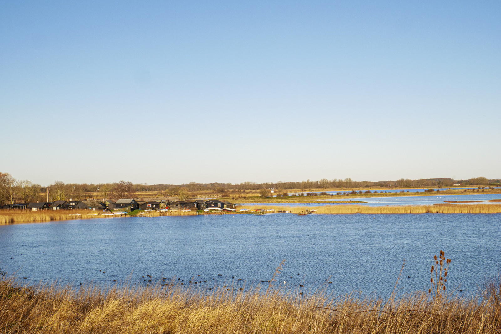
Stige Ø is a peninsula north of Odense. The inlet is home to many waterfowl and the area has a varied vegetation, with many different birds.
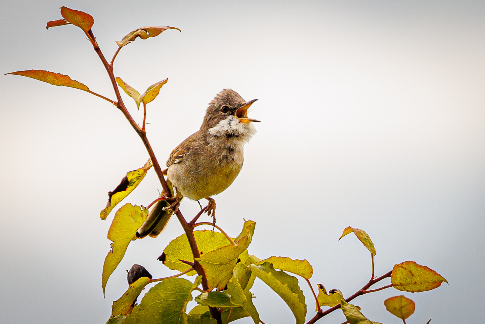
Stige ø is a peninsula between Odense Fjord and Odense Canal. Part of the island was formerly a landfill, but is now covered with soil and a popular excursion and activity area. There are walking paths, a playground, an ice house, mountain bike tracks and shelters The area has a varied nature with many bushes with small birds such as Chardonneret élégant, Bruant jaune and Fauvette grisette. There are also areas with reed beds where there are Rousserolle effarvatte, Phragmite des joncs and Bruant des roseaux.
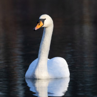
Many waterfowl are seen in the fjord and in winter large flocks of Cygne tuberculé, Foulque macroule are seen, and it is an important wintering site for Grèbe castagneux. You can also see birds of prey, especially Faucon crécerelle and Buse variable, but also Pygargue à queue blanche which breeds on the nearby and Faucon pèlerin which breed on the nearby Fjernvarme Fyn.
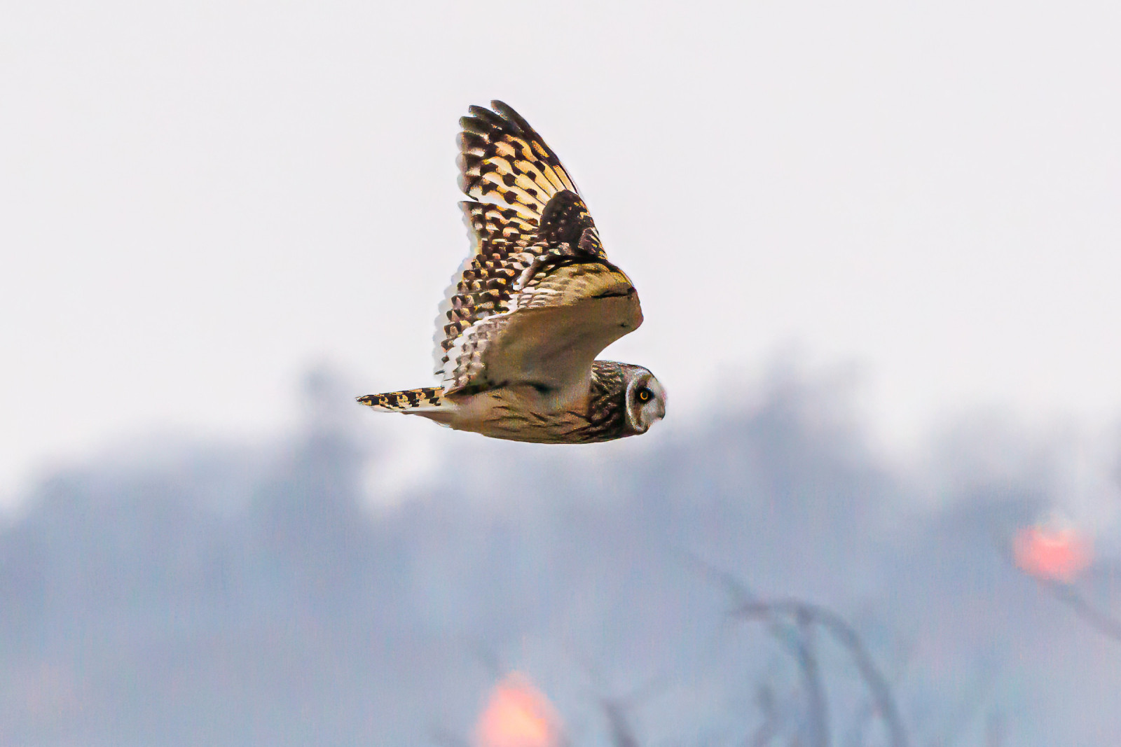
Stige Ø nord is the area north of the parking lot at Sortehusene. It is characterized by meadow areas. You enter the area through a gate, as there are livestock. There are several wading birds in the area and in winter you can see Hibou des marais. You also get quite close to Vigelsø, where Pygargue à queue blanche often is seen hunting.
Stige Ø is located just north of the city of Odense. There is no public transport. You can get there by car or bike. The parking lot by the ice cream shop is the best starting point. The parking lot at Sortehusene is the best starting point if you want to go out to Stige Ø north. Press on a P on the map for directions to one of the parkings. During weekends and school holidays there can often be quite a lot of people out here, but you can still often find some quiet areas where you can watch birds.
The bird hide is difficult to access and does not offer better observation opportunities than from the path.
The circular route is 4 km, and can be followed by gps. There are possibilities to choose other paths.
 ) Insérez les noms d'oiseau dans votre langue. Ils seront automatiquement traduits pour les autres usagers !
Votre feedback sera transmis à l’auteur.rice de cette zone et à l’équipe éditoriale de Birdingplaces, qui l’utiliseront pour améliorer la qualité des informations. (Vous souhaitez publier un commentaire visible en bas de page ? Fermez cette fenêtre et choisissez l’Option 1 : « Publier un commentaire, un conseil ou une observation ».)
Veuillez fournir des suggestions d'améliorations ou d'ajouts au texte de ce site ornithologique.
Veuillez fournir vos suggestions d'améliorations ou d'ajouts à la carte.
Veuillez fournir des suggestions d'améliorations ou d'ajouts à la liste des oiseaux.
Cliquez sur l'icône de l'oiseau () Insérez les noms d'oiseau dans votre langue. Ils seront automatiquement traduits pour les autres usagers !