


Charger images
Les formats d'image autorisés sont de type jpeg, png ou gif
La taille maximale du fichier doit être de 20MB

Wetland area that was designed as a marsh and flood area due to nature development.
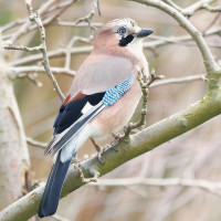
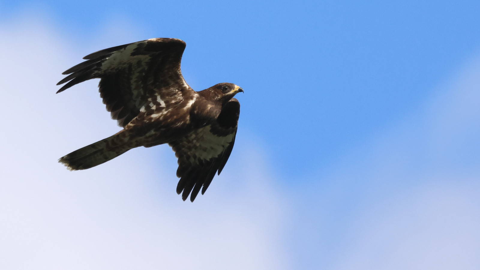
The Edegemse stream and Aen Den Boeren Leegher consist of a marshy seepage and flood area. People tried to maintain agriculture here for a long time. This wetland area was designed for nature development from the end of 2019, partly as a forest, partly as a natural water collection for the adjacent seepage zone. The two areas together cover almost 7 hectares and will be connected by a bridge over the Edegem stream. It has now become a beautiful stopping place for many birds.
_________________________
Nederlands: De Edegemse beek en Aen Den Boeren Leegher bestaat uit een drassig kwel- en overstromingsgebied. Hier trachtte men lang landbouw in stand te houden. Het gebied is parkzone op het gewestplan waardoor het een zekere bescherming geniet. Dit waterrijke gebied werd vanaf eind 2019 ingericht voor natuurontwikkeling, deels als bos, deels als natuurlijke wateropvang voor de aangrenzende kwelzone. De Edegemse Beek is een onbevaarbare waterloop van tweede categorie. De twee gebieden samen zijn bijna 7 ha groot en zullen met een brug over de Edegemse beek verbonden worden. Het is ondertussen prachtige pleisterplaats geworden voor vele vogels.
The Edegem stream valley is the open landscape area between Edegem and Kontich. Since 2019, a 7 hectare forest has been growing along both sides of this stream. The area is freely accessible on the paths. Boots or sturdy footwear are recommended in rainy weather. Dogs are welcome on a leash. You can park on both sides of the area. Click on a P on the map for directions. The circular walk indicated on the map is approximately 1.5 km.
_________________________
Nederlands: De Edegemse beekvallei is het open landschappelijk gebied tussen Edegem en Kontich. Er groeit sinds 2019 een 7 ha groot klimaatbos langs beide zijden van deze grensbeek. Het gebied is vrij toegankelijk op de paden. Laarzen of stevig schoeisel zijn aangeraden bij regenweer. Honden zijn welkom aan de leiband. Je kunt aan beide kanten van het gebied parkeren. Klik op een P in de kaart voor een routebeschrijving. De rondwandeling die is aangegeven op de kaart is ongeveer 1,5 km.
 ) Insérez les noms d'oiseau dans votre langue. Ils seront automatiquement traduits pour les autres usagers !
Votre feedback sera transmis à l’auteur.rice de cette zone et à l’équipe éditoriale de Birdingplaces, qui l’utiliseront pour améliorer la qualité des informations. (Vous souhaitez publier un commentaire visible en bas de page ? Fermez cette fenêtre et choisissez l’Option 1 : « Publier un commentaire, un conseil ou une observation ».)
Veuillez fournir des suggestions d'améliorations ou d'ajouts au texte de ce site ornithologique.
Veuillez fournir vos suggestions d'améliorations ou d'ajouts à la carte.
Veuillez fournir des suggestions d'améliorations ou d'ajouts à la liste des oiseaux.
Cliquez sur l'icône de l'oiseau () Insérez les noms d'oiseau dans votre langue. Ils seront automatiquement traduits pour les autres usagers !