


Charger images
Les formats d'image autorisés sont de type jpeg, png ou gif
La taille maximale du fichier doit être de 20MB


Wooded area with beautiful walking routes
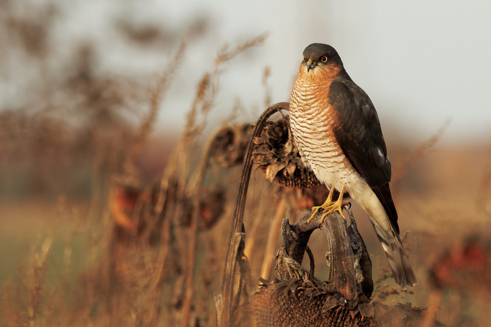
The Cotthembos is a nature reserve in the Flemish Ardennes in South East Flanders. A wooded area with beautiful hiking trails. The forest area is located on the territory of the municipalities of Sint-Lievens-Houtem, Zottegem and Herzele in the valleys of the Klokfonteinbeek and the Cotthembeek. The landscape in and around Cotthem consists of large and small forest areas, alternating with open fields and more closed areas with meadows, enclosed by pollard willows. The nature reserve is located on a hillside, in a wooded area in the valley of the meandering Cotthembeek. In the lower area there are moist coppice forests and meadows. Among the birds you can see in the area are Pic épeiche, Geai des chênes, Fauvette à tête noire, Buse variable, Faucon crécerelle, Pic épeichette, Busard des roseaux, Pouillot véloce, Sittelle torchepot, Grimpereau des jardins and Pic vert.
_________________________
Nederlands: Het Cotthembos of Kottembos met de Oombergse bossen is een natuurgebied en erkend natuurreservaat in de Vlaamse Ardennen in Zuid-Oost-Vlaanderen. Een bosrijk gebied met mooie wandelroutes. Het bosgebied ligt op het grondgebied van de gemeentes Sint-Lievens-Houtem, Zottegem en Herzele in de valleien van de Klokfonteinbeek en de Cotthembeek. Het landschap in en rond Cotthem bestaat uit grote en kleine bosgebieden, afgewisseld met open akkergebieden en meer gesloten gebieden met weilanden, omsloten door knotwilgen. Het natuurgebied ligt aan een heuvelflank, in een bosrijke omgeving in de vallei van de meanderende Cotthembeek. In het lager gelegen gebied komen vochtige hakhoutbossen en weiden voor. Vogels die je in het gebied kunt zien zijn Pic épeiche, Geai des chênes, Fauvette à tête noire, Buse variable, Faucon crécerelle, Pic épeichette, Busard des roseaux, Pouillot véloce, Sittelle torchepot, Grimpereau des jardins en Pic vert.
Easy parking in the market square of Sint-Lievens-Houtem. The Cotthembos is freely accessible on the hiking trails that cross the nature reserve in Oombergen and Sint-Lievens-Houtem . The signposted Cotthem route (12.5 km, see map) meanders through the forest and also passes the valley of the Cotthem stream, field roads with chapels, a Roman road, an old tram bed and various hamlets.
_________________________
Nederlands: Gemakkelijk parkeren op het marktplein van Sint-Lievens-Houtem. Het Cotthembos is vrij toegankelijk op de wandelpaden die het natuurgebied in Oombergen en Sint-Lievens-Houtem doorkruisen. De bewegwijzerde Cotthemroute (12,5 km, zie de kaart) slingert door het bos en komt ook langs de vallei van de Cotthembeek, veldwegen met kapelletjes, een Romeinse heirbaan, een oude trambedding en diverse dorpskernen.
 ) Insérez les noms d'oiseau dans votre langue. Ils seront automatiquement traduits pour les autres usagers !
Votre feedback sera transmis à l’auteur.rice de cette zone et à l’équipe éditoriale de Birdingplaces, qui l’utiliseront pour améliorer la qualité des informations. (Vous souhaitez publier un commentaire visible en bas de page ? Fermez cette fenêtre et choisissez l’Option 1 : « Publier un commentaire, un conseil ou une observation ».)
Veuillez fournir des suggestions d'améliorations ou d'ajouts au texte de ce site ornithologique.
Veuillez fournir vos suggestions d'améliorations ou d'ajouts à la carte.
Veuillez fournir des suggestions d'améliorations ou d'ajouts à la liste des oiseaux.
Cliquez sur l'icône de l'oiseau () Insérez les noms d'oiseau dans votre langue. Ils seront automatiquement traduits pour les autres usagers !