

Charger images
Les formats d'image autorisés sont de type jpeg, png ou gif
La taille maximale du fichier doit être de 20MB
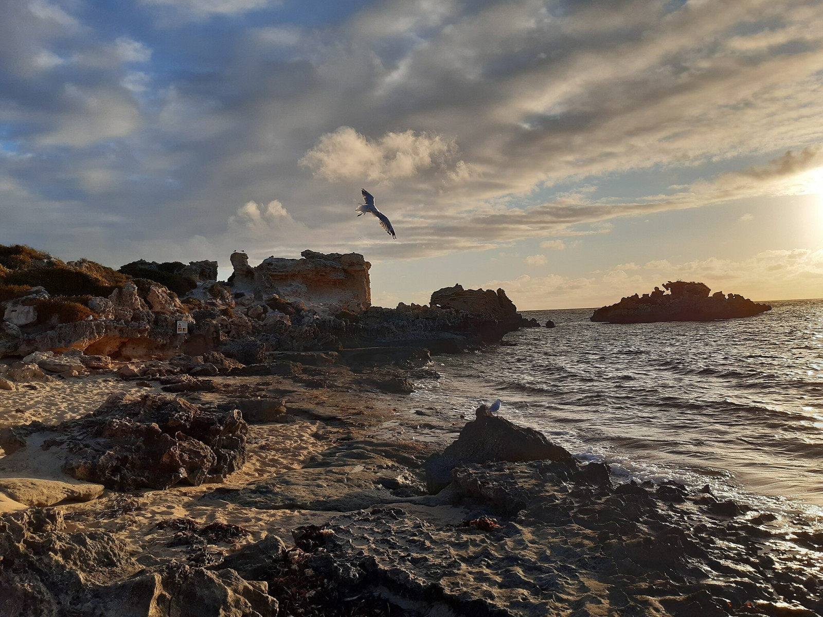
Headland with rugged limestone cliffs with sandy beaches and offshore beaches. Point Peron is a good place for watching seabirds.
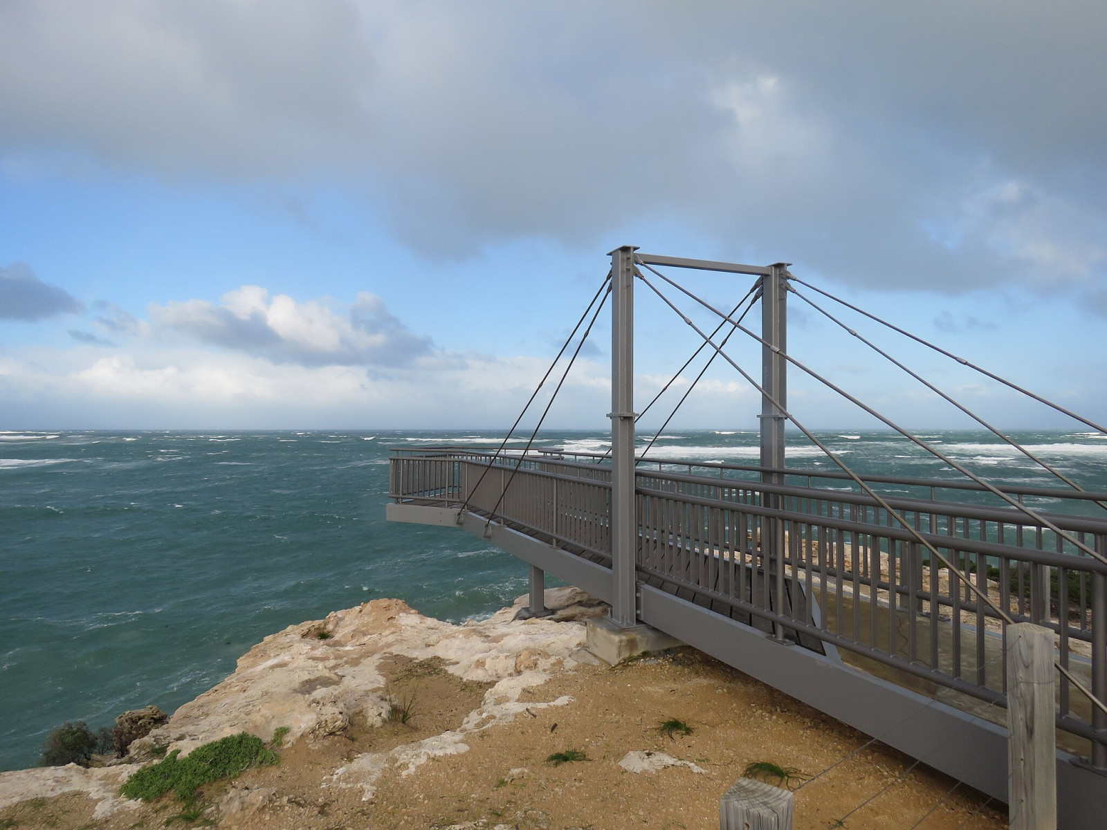
Cape Peron is a headland at Rockingham. Point Peron is a minor promontory on the south side of the cape's extremity, a long stretch of land at the southern end of Cockburn Sound. It is surrounded by the Shoalwater Islands Marine Park with small bays, limestone cliffs and rocky outcrops. The unprotected headland is subsequently exposed year round to severe prevailing southerly and westerly winds.
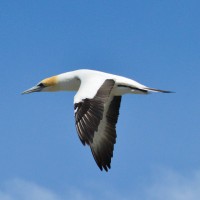
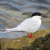
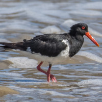
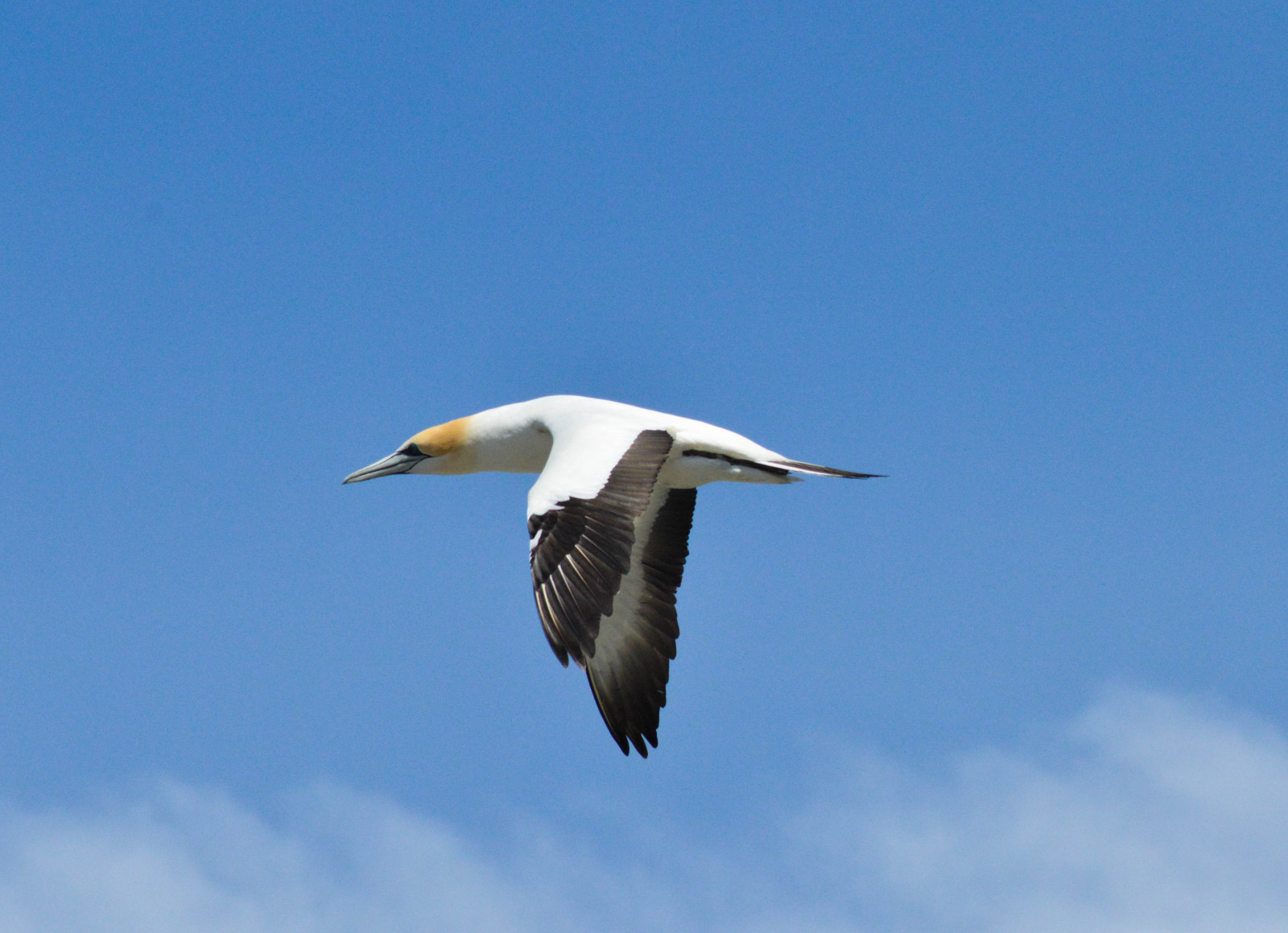
It is common to find large seabirds, for instance Osprey, Australasian Gannet and cormorants amongst the cliff faces or searching for prey. Wading birds, such as Pied Oystercatcher, Sooty Oystercatcher, Ruddy Turnstone and a variety of gulls and terns, are also found closer to the shoreline and nesting in the cliffs. Little Penguins have also been spotted at the site, although they are not known to breed at, or inhabit the site. Further away from the coast, and into the scrubland, it is common to find Rainbow Bee-eater, Grey Fantail, Singing Honeyeater and Silvereye.
Point Person is located at Rockingham, about an hour’s drive south of Perth. Press P on the map for directions. Point Peron sits near the causeway to the naval support facility on Garden Island. Another interesting landmark is a World War II gun lookout. The shallow coastal waters and Point Peron offer great visibility and diverse sea life (including dolphins) to admire, so the area is also interesting for snorkelling.
A network of trails begins at Mangles Bay carpark and traverses the cliffs and coastal heaths of the coastline to John Point, past historic wartime bunkers and an observation post to end at Shoalwater car park. The loop trail shown on the map is about 2,5 km.
 ) Insérez les noms d'oiseau dans votre langue. Ils seront automatiquement traduits pour les autres usagers !
Votre feedback sera transmis à l’auteur.rice de cette zone et à l’équipe éditoriale de Birdingplaces, qui l’utiliseront pour améliorer la qualité des informations. (Vous souhaitez publier un commentaire visible en bas de page ? Fermez cette fenêtre et choisissez l’Option 1 : « Publier un commentaire, un conseil ou une observation ».)
Veuillez fournir des suggestions d'améliorations ou d'ajouts au texte de ce site ornithologique.
Veuillez fournir vos suggestions d'améliorations ou d'ajouts à la carte.
Veuillez fournir des suggestions d'améliorations ou d'ajouts à la liste des oiseaux.
Cliquez sur l'icône de l'oiseau () Insérez les noms d'oiseau dans votre langue. Ils seront automatiquement traduits pour les autres usagers !