

Charger images
Les formats d'image autorisés sont de type jpeg, png ou gif
La taille maximale du fichier doit être de 20MB

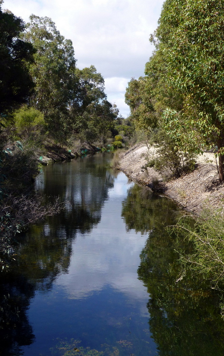
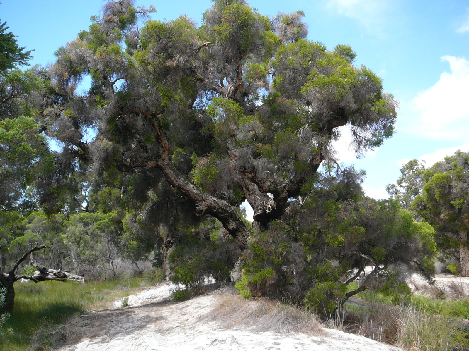
Lightning Swamp Bushland contains a range of mixed bush communities and is representative of the natural environment that once covered the Swan Coastal Plain.
Lightning Swamp Bush contains a range of mixed bushland communities and is representative of the natural environment that once covered the Swan Coastal Plain.
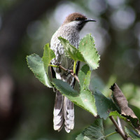
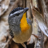
The wetlands (which are dry over summer) attract a good number of waterbirds, whilst the banksia woodland, heathland and riparian fringe of the wetlands provides an ideal habitat for a large complement of bush birds. Endangered Carnaby's Black-Cockatoo are often sighted feeding and roosting in banksias and Flooded Gums.
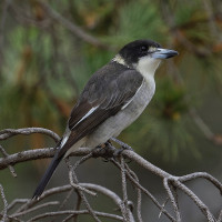
The ephemeral swamps, with their inundated thickets, act as important roosting and nesting sites for waterbirds such as the Eurasian Coot, Purple Swamphen and Australian Wood Duck during winter.
Lightning Swamp Bushland is located 11 km NE of Perth between Malaga Drive and Reid Highway in Noranda with best access via Matthews Close. Press P on the map to access Google mapping. The circular route indicated on the map is about 3,5 km.
Note that this route will require an easy clamber onto or off the boardwalk (at lookout symbol on map).
 ) Insérez les noms d'oiseau dans votre langue. Ils seront automatiquement traduits pour les autres usagers !
Votre feedback sera transmis à l’auteur.rice de cette zone et à l’équipe éditoriale de Birdingplaces, qui l’utiliseront pour améliorer la qualité des informations. (Vous souhaitez publier un commentaire visible en bas de page ? Fermez cette fenêtre et choisissez l’Option 1 : « Publier un commentaire, un conseil ou une observation ».)
Veuillez fournir des suggestions d'améliorations ou d'ajouts au texte de ce site ornithologique.
Veuillez fournir vos suggestions d'améliorations ou d'ajouts à la carte.
Veuillez fournir des suggestions d'améliorations ou d'ajouts à la liste des oiseaux.
Cliquez sur l'icône de l'oiseau () Insérez les noms d'oiseau dans votre langue. Ils seront automatiquement traduits pour les autres usagers !