Charger images
Les formats d'image autorisés sont de type jpeg, png ou gif
La taille maximale du fichier doit être de 20MB
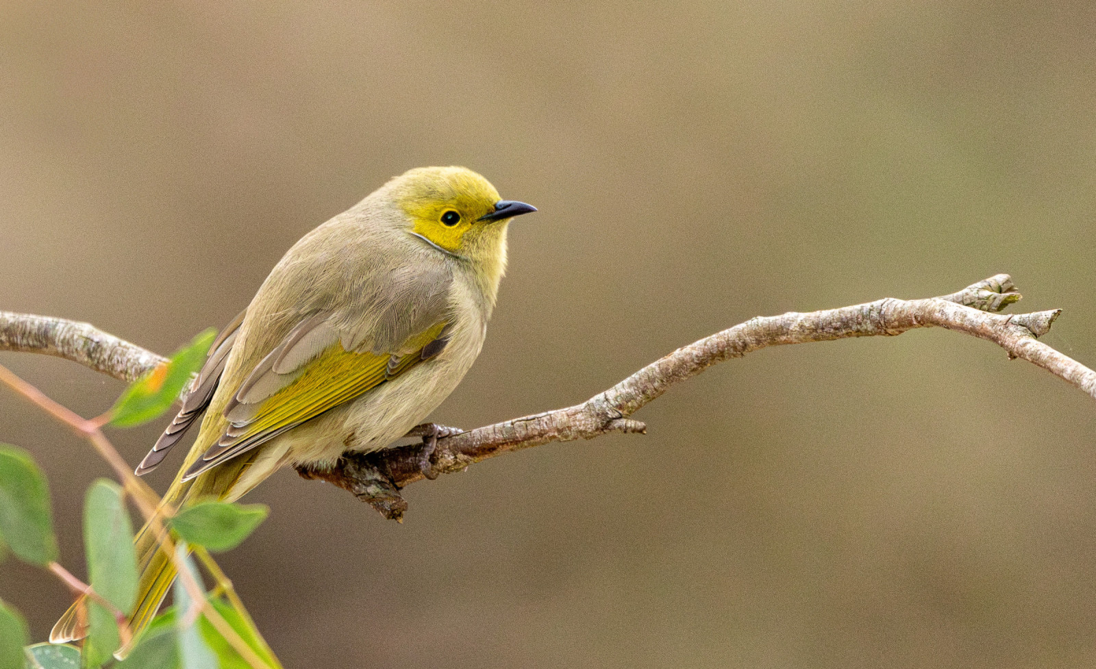
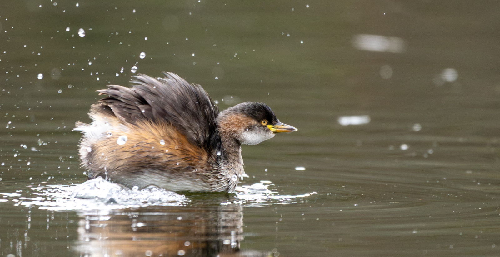
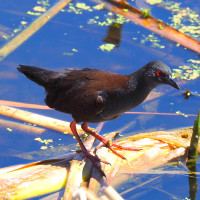
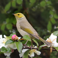
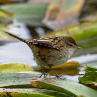
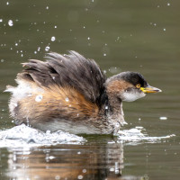
Constructed in 1999, the wetland serves both as a water reclamation facility and a biodiversity hotspot. Great place for birdwatching.
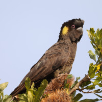
Laratinga Wetland was named after the Peramangk meaning for Mount Barker Creek. The wetland has taken several years to resemble a natural ecosystem, but has become an increasingly important area for native wildlife. Landscaping design with the use of indigenous plant species and safe island habitats attracts many birds. A food forest for Cockatoos has encouraged Cockatoos including the Yellow-tailed Black-Cockatoo back to the area.
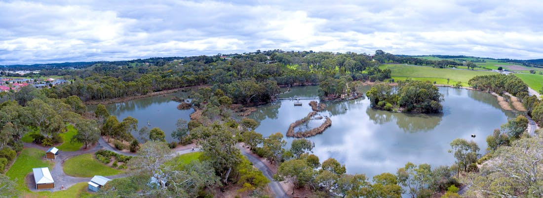
Laratinga Wetlands is located in Mount Barker, in the Adelaide Hills region of South Australia. It sits at the intersection of Bald Hills Road and Springs Road, just a short drive from the town center. Press P on the map for directions to the parking. Public Transport: Accessible via local bus routes from Adelaide to Mount Barker, with stops near the wetlands.
A paved shared path passes through and circles around the Laratinga Wetlands. The route shown on the map is about 4 km. There are several bird hides and amenities like public restrooms and picnic areas.
 ) Insérez les noms d'oiseau dans votre langue. Ils seront automatiquement traduits pour les autres usagers !
Votre feedback sera transmis à l’auteur.rice de cette zone et à l’équipe éditoriale de Birdingplaces, qui l’utiliseront pour améliorer la qualité des informations. (Vous souhaitez publier un commentaire visible en bas de page ? Fermez cette fenêtre et choisissez l’Option 1 : « Publier un commentaire, un conseil ou une observation ».)
Veuillez fournir des suggestions d'améliorations ou d'ajouts au texte de ce site ornithologique.
Veuillez fournir vos suggestions d'améliorations ou d'ajouts à la carte.
Veuillez fournir des suggestions d'améliorations ou d'ajouts à la liste des oiseaux.
Cliquez sur l'icône de l'oiseau () Insérez les noms d'oiseau dans votre langue. Ils seront automatiquement traduits pour les autres usagers !