Charger images
Les formats d'image autorisés sont de type jpeg, png ou gif
La taille maximale du fichier doit être de 20MB
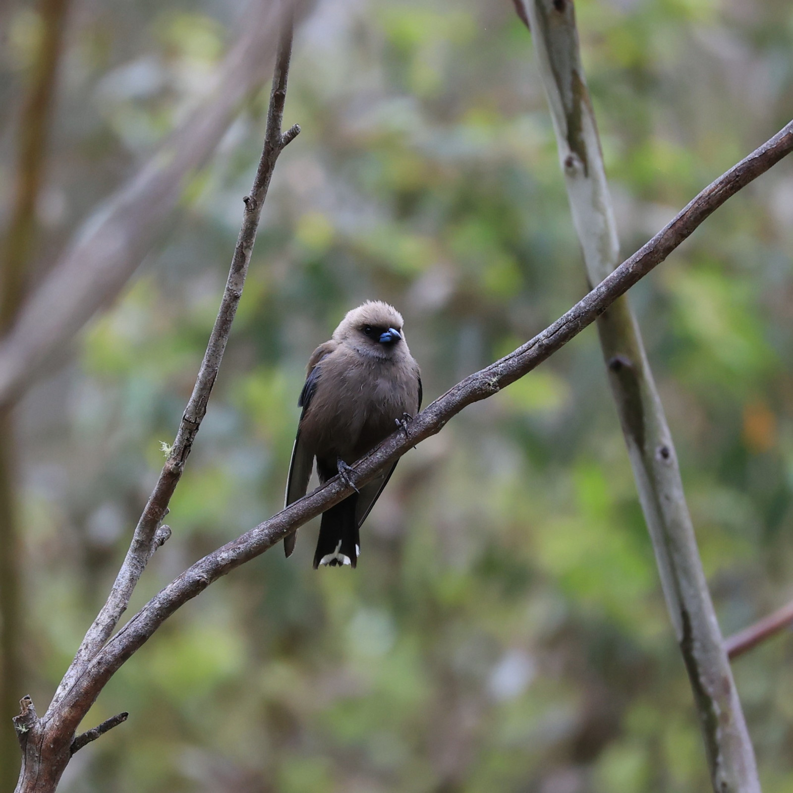
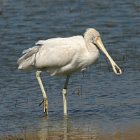
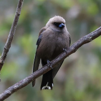
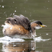
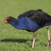
An area of nearly 100 hectares of natural and constructed wetland, where almost 145 bird species have been recorded to date.
Kinnairds Wetland is a beautiful wetland fed by flows from the Muckatah Surface Water Management Scheme, which has a 600 km² catchment, beginning in Yarrawonga. The natural and constructed areas of the wetland act as a retarding basin. This aids in filtering sediments and nutrients, and minimises the rate of flows entering the Broken Creek to the south, which eventually flows into the Murray River in the Barmah Forest.
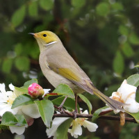
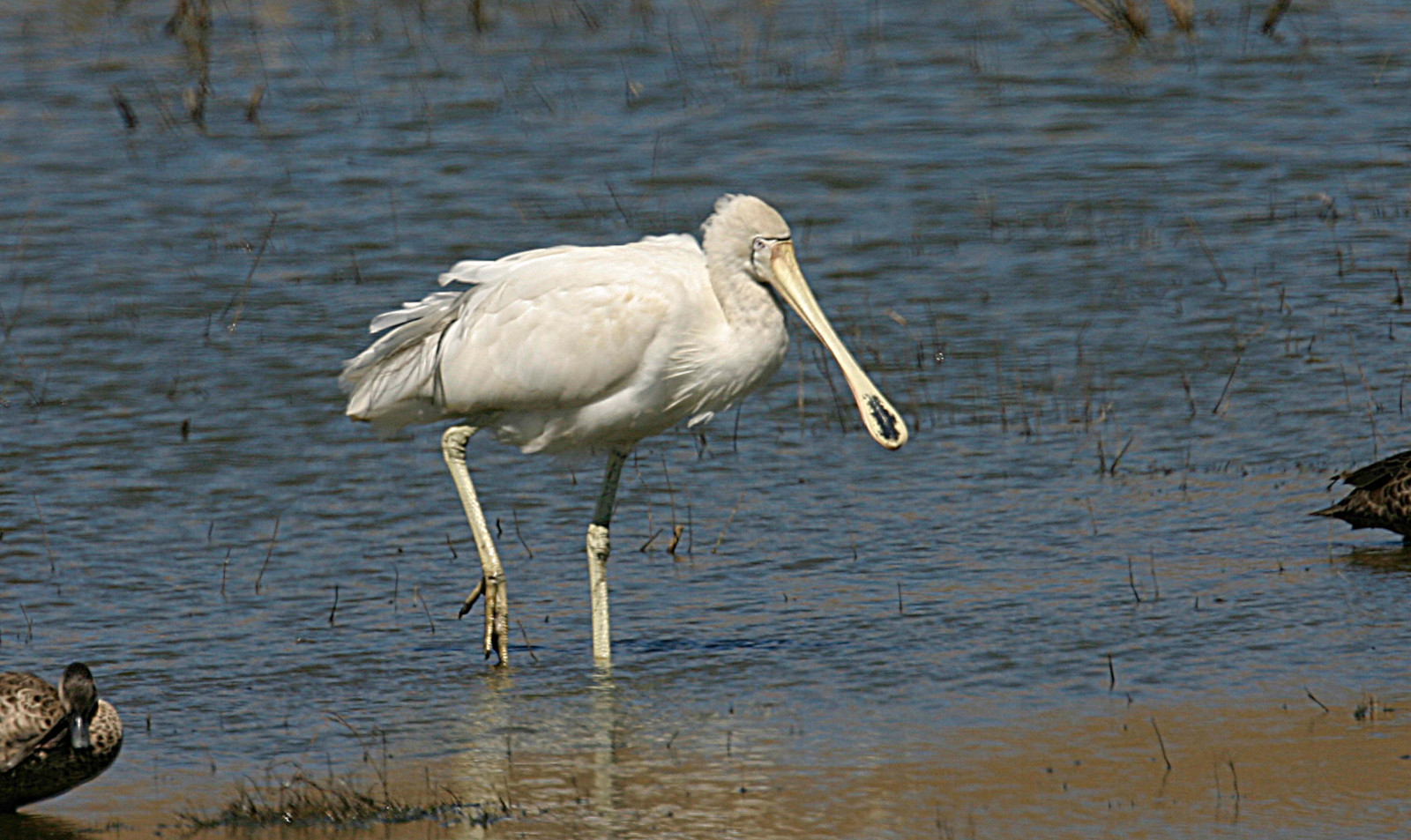
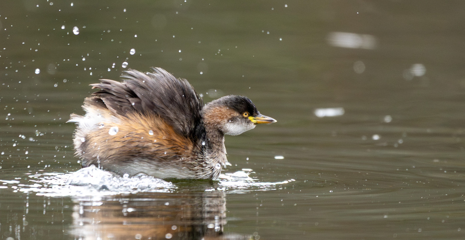
You can see spoonbills, ducks, ibis, herons and cormorants, but also small birds such as Scarlet Robin and watch overhead for birds of prey including Wedge-tailed Eagle, Whistling Kite and Peregrine Falcon.
Kinnaird's Wetland is located north of the Broken Creek, near Numurkah. About 20 minutes north of Shepparton and 2.5 hours north of Melbourne. Click on the P in the map for directions to the parking. A range of constructed trails suitable for walking and cycling, boardwalks, bird hides and picnic areas give you the opportunity to explore the wetlands and woodlands. The total walking route indicated on the map is about 5,5 km.
 ) Insérez les noms d'oiseau dans votre langue. Ils seront automatiquement traduits pour les autres usagers !
Votre feedback sera transmis à l’auteur.rice de cette zone et à l’équipe éditoriale de Birdingplaces, qui l’utiliseront pour améliorer la qualité des informations. (Vous souhaitez publier un commentaire visible en bas de page ? Fermez cette fenêtre et choisissez l’Option 1 : « Publier un commentaire, un conseil ou une observation ».)
Veuillez fournir des suggestions d'améliorations ou d'ajouts au texte de ce site ornithologique.
Veuillez fournir vos suggestions d'améliorations ou d'ajouts à la carte.
Veuillez fournir des suggestions d'améliorations ou d'ajouts à la liste des oiseaux.
Cliquez sur l'icône de l'oiseau () Insérez les noms d'oiseau dans votre langue. Ils seront automatiquement traduits pour les autres usagers !