


Charger images
Les formats d'image autorisés sont de type jpeg, png ou gif
La taille maximale du fichier doit être de 20MB
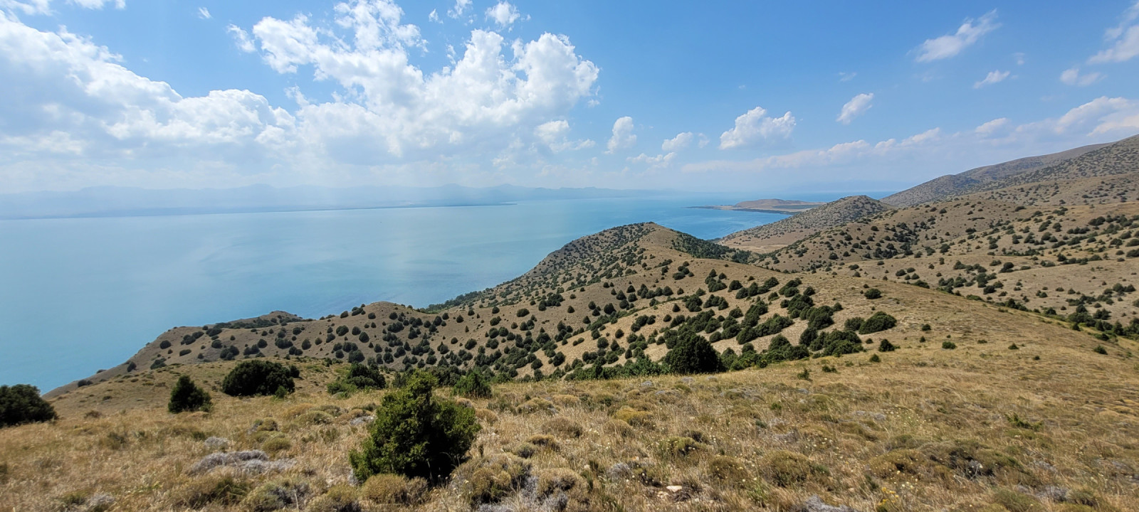
Large mountainous peninsula in Sevan lake. Semi arid steppes, high cliffs, artificial pinу plantations and closed gulf provide species diversity.
Artanish peninsula can be devided on three main zones.
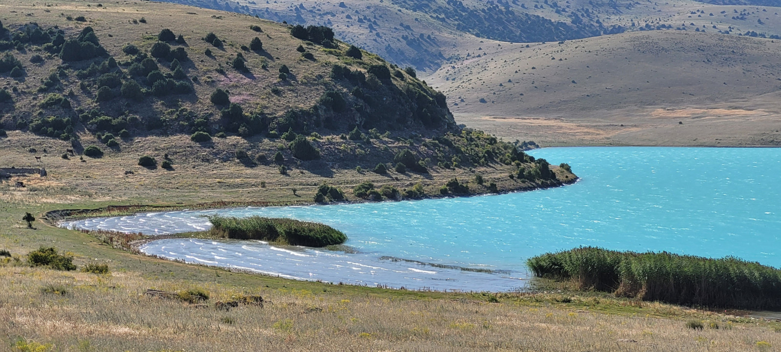
1. Open water, with reedy coast. You can find Grèbe huppé, Foulque macroule, Goéland d'Arménie and Héron cendré there.
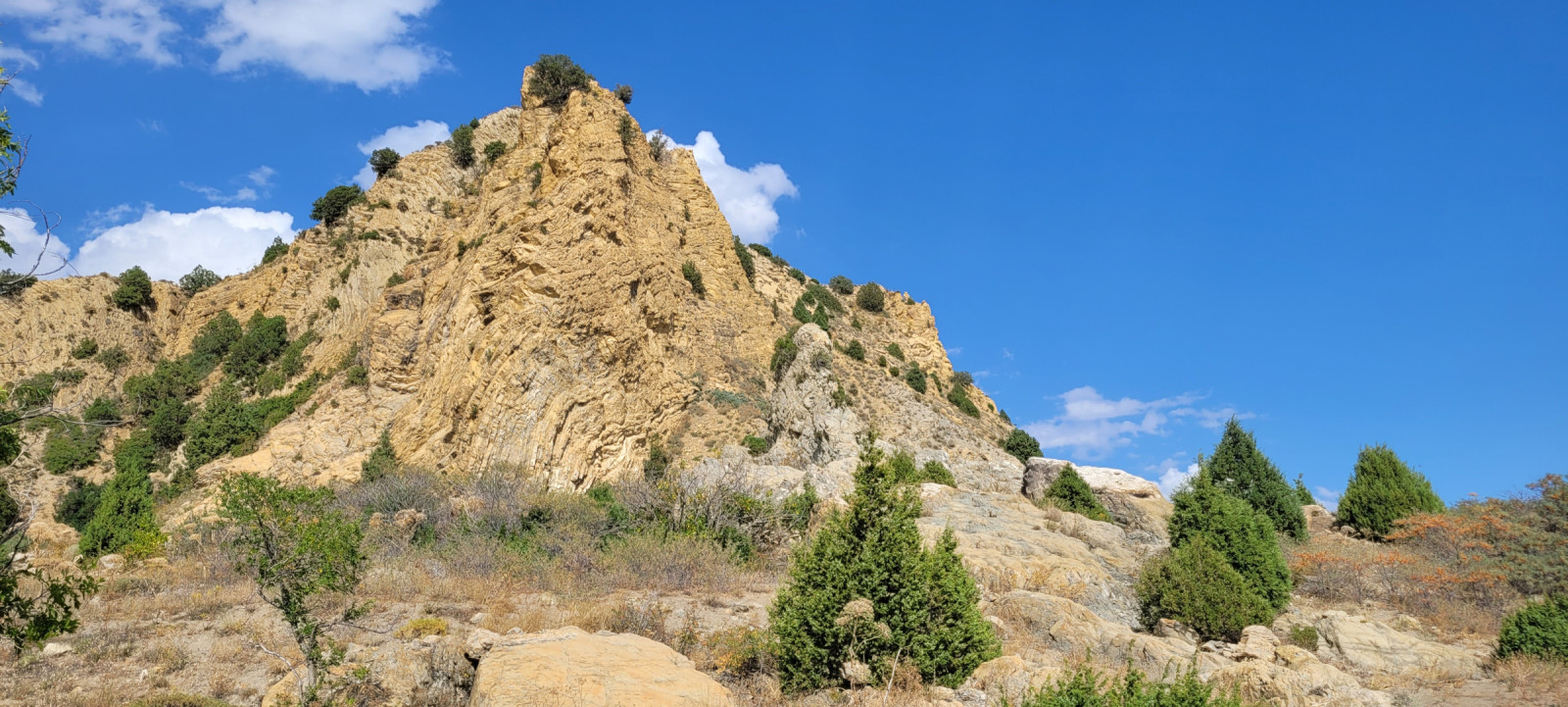
2. Artificial plantations of pines and buckthorn under high (up to 50 meters) cliffs of sedimental rocks. Where colonies of Hirondelle de fenêtre are nesting and a lot of passerines live. You also can find predators like Buse féroce or Épervier d'Europe there.
3. Semi-arid steppe with sparce juniper trees. Perdrix grise, Perdrix choukar and Huppe fasciée could be found there. During autumn migration (from august to November) you can encounter harriers, Aigle des steppes and more predators here.
Artanish peninsula is at the north coast of lake Sevan. The best way to get there is by car (or taxi). Go along the H-7 road (from Tsovagyugh to Vardenis) to east. Press a P on the map for directions.
You can enter Artanish peninsula just after the village of Shorja - turn right on the unpaved road (it's absolutely flat and firm) and follow it about 5 km to the artificial pine forest. You can leave car or taxi there and then go on foot.
The second way to enter the peninsula is an unpaved road. This road starts to the right from the highway about 6- 6,5 km after the village of Shorja "End sign". You go through arid pasture and then follow the road that repeats Sevan coast. It is suitable for the most types of cars. You can leave your car anywhere you like and then go by foot.
Artanish peninsula is the part of Sevan National park, so you can meet rangers who ask you to pay. The entrance fee is 3000 AMD (2024).
The perfect route to see all habitats is about 7-10 km with elevation difference about 200-300 m, so it will take about 3-5 hours.
 ) Insérez les noms d'oiseau dans votre langue. Ils seront automatiquement traduits pour les autres usagers !
Votre feedback sera transmis à l’auteur.rice de cette zone et à l’équipe éditoriale de Birdingplaces, qui l’utiliseront pour améliorer la qualité des informations. (Vous souhaitez publier un commentaire visible en bas de page ? Fermez cette fenêtre et choisissez l’Option 1 : « Publier un commentaire, un conseil ou une observation ».)
Veuillez fournir des suggestions d'améliorations ou d'ajouts au texte de ce site ornithologique.
Veuillez fournir vos suggestions d'améliorations ou d'ajouts à la carte.
Veuillez fournir des suggestions d'améliorations ou d'ajouts à la liste des oiseaux.
Cliquez sur l'icône de l'oiseau () Insérez les noms d'oiseau dans votre langue. Ils seront automatiquement traduits pour les autres usagers !