


Charger images
Les formats d'image autorisés sont de type jpeg, png ou gif
La taille maximale du fichier doit être de 20MB
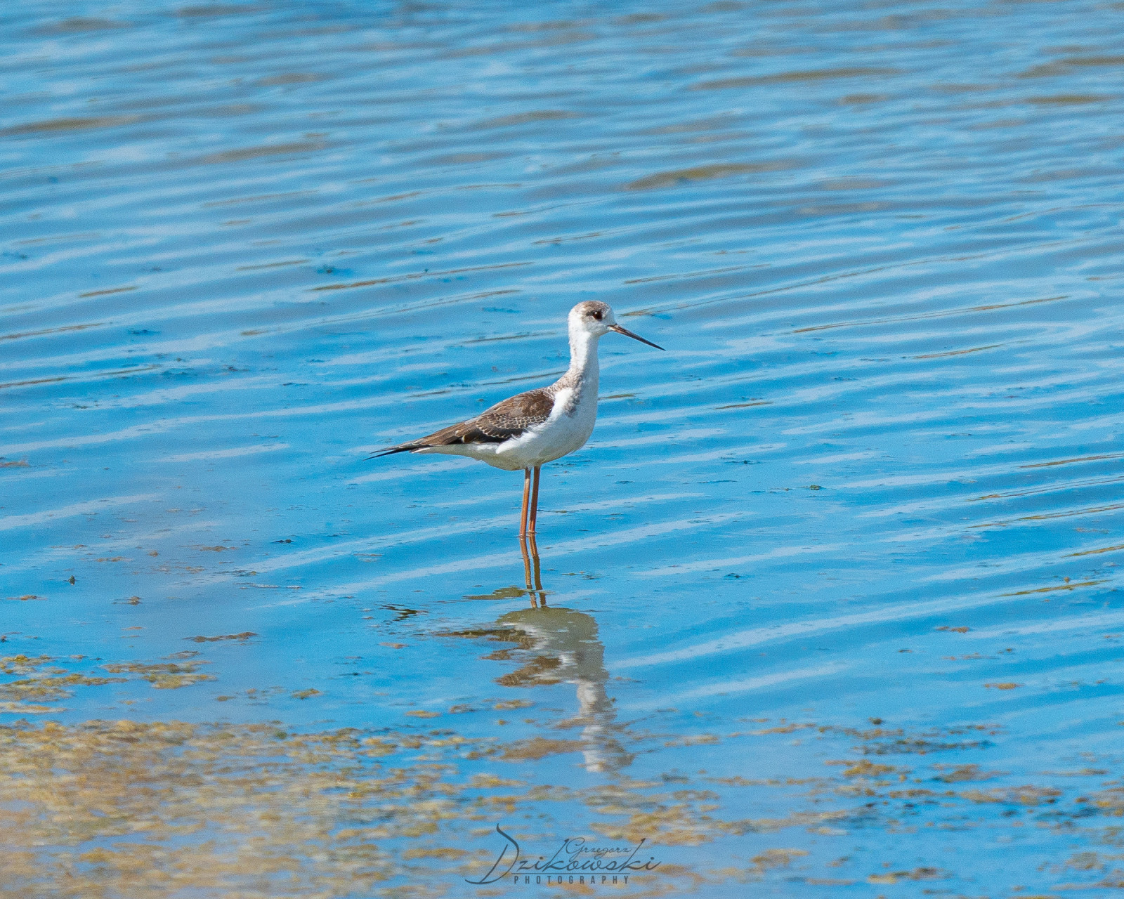
One of the best places for all-year round birding in Albania is this lagoon near Vlora.
Narta Lagoon (Albanian: Laguna e Nartës) is a lagoon of the Adriatic Sea on the Mediterranean Sea in the central coast of Albania. The lagoon extends north of the Bay of Vlorë on the eastern shore of the Strait of Otranto and is separated from the sea by a narrow coastal strip, consisting of an alluvial dune. The lagoon has a surface of 41.8 km2 with a maximal depth of 1.5 m.
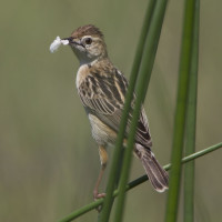
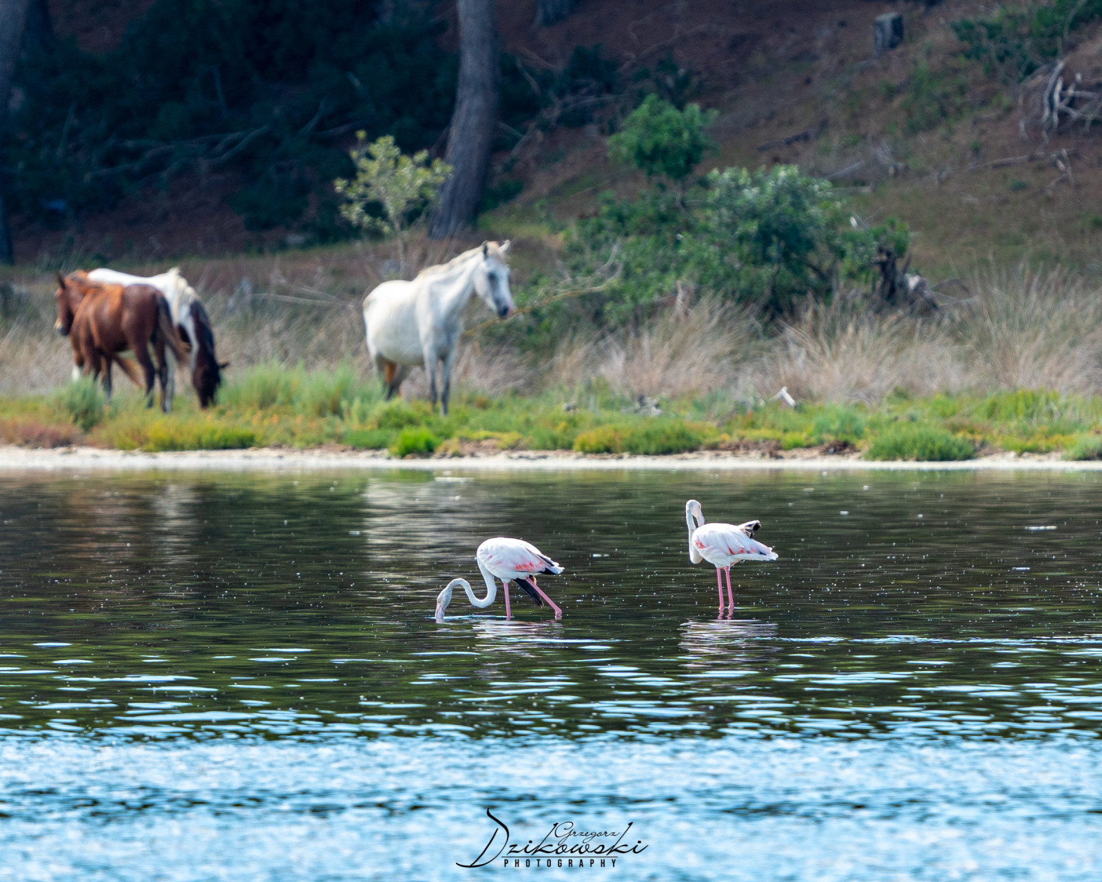
Narta Lagoon is situated within the boundaries of the Vjosa-Narta Protected Landscape and has been recognised as a Bird and Plant Area of international importance. As of May 2020, it is home to 3,000 Flamant rose. It is formed by the constant accumulation of solid flow of the Vjosa River, which originates within the Pindus Mountains close to the border between Albania and Greece.
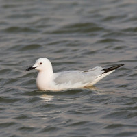
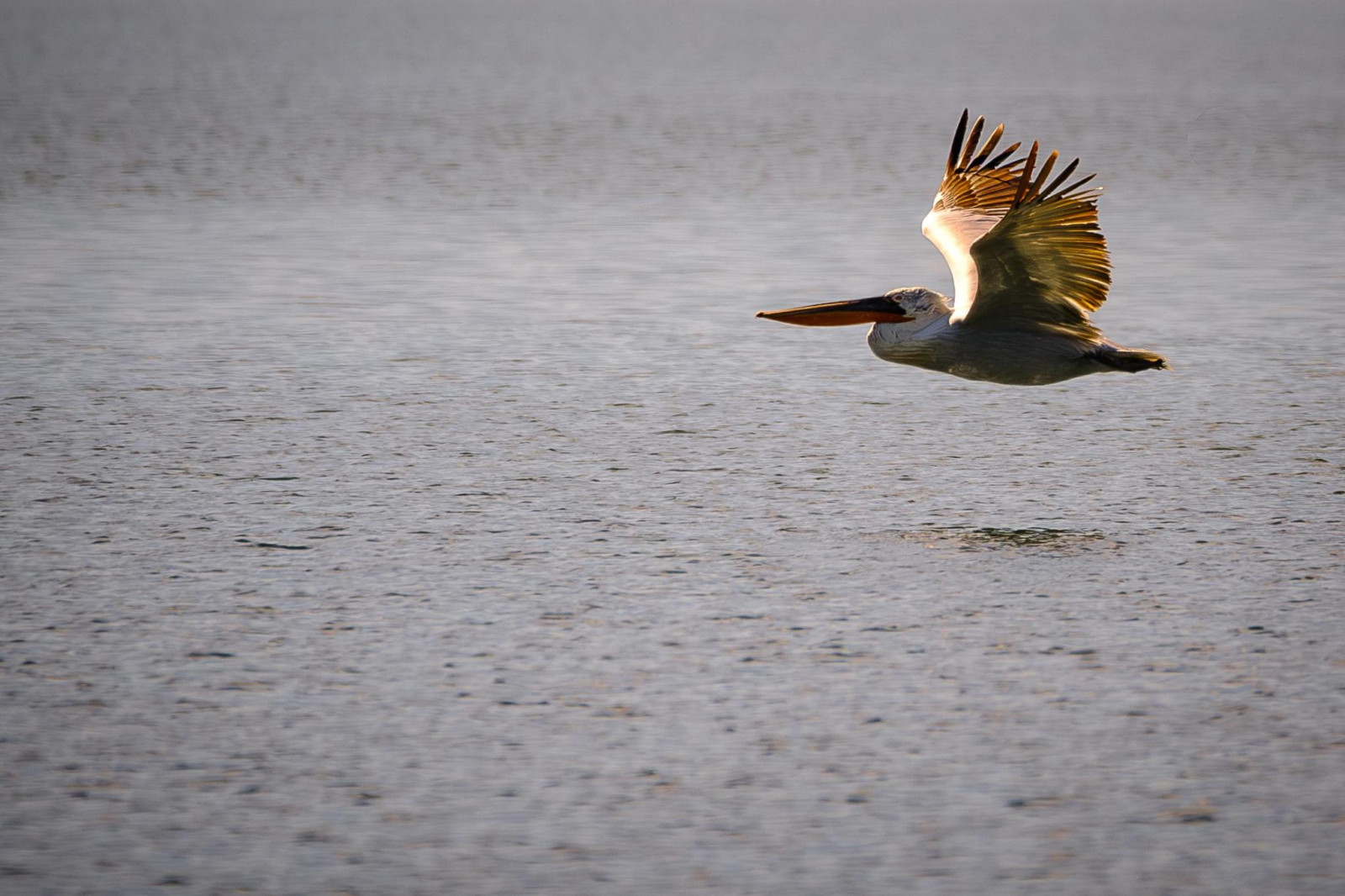
The lagoon is named after the village of Nartë, which is found on the lagoon's southern shores. Within the lagoon, there are two islands located, with Zvërnec Island being the largest. A wooden footbridge connects mainland to the island, where a 13th-century monastery is located. At least 34,800 wintering birds can be counted on the lagoon.
Narta Lagoon is easily accessible by car. Make several stops along the road and watch birds from the car to take nice pictures. Scan the saltpans from the road. Click on the P in the map for directions or coordinates. The route indicated on the map is about 19 km.
Photo Flamingos by Charles J. Sharp, CC BY-SA 4.0, https://creativecommons.org/licenses/by-sa/4.0.
 ) Insérez les noms d'oiseau dans votre langue. Ils seront automatiquement traduits pour les autres usagers !
Votre feedback sera transmis à l’auteur.rice de cette zone et à l’équipe éditoriale de Birdingplaces, qui l’utiliseront pour améliorer la qualité des informations. (Vous souhaitez publier un commentaire visible en bas de page ? Fermez cette fenêtre et choisissez l’Option 1 : « Publier un commentaire, un conseil ou une observation ».)
Veuillez fournir des suggestions d'améliorations ou d'ajouts au texte de ce site ornithologique.
Veuillez fournir vos suggestions d'améliorations ou d'ajouts à la carte.
Veuillez fournir des suggestions d'améliorations ou d'ajouts à la liste des oiseaux.
Cliquez sur l'icône de l'oiseau () Insérez les noms d'oiseau dans votre langue. Ils seront automatiquement traduits pour les autres usagers !