

Descripción
The area runs from Porlock Weir in the West to Hurlstone Point (sometimes called Bossington Point) in the East, between the two runs a long shingle ridge partially protecting an extensive salt marsh. Porlock Weir is a seawatching point, once more famously known as a Salmon and Oyster fishery, today is more of a holiday destination.
Porlock Beach/Bossington Beach shingle ridge (formed 8000 years ago) one time protected an extensive freshwater grazing meadow. During the major storm of October 1996, caused by the 'tail end' of hurricane Lili, a large breach of the ridge caused major ingress of salt water, leaving the marsh today to turn into saltmarsh. The beach and saltmarsh are constantly changing by each high tide mainly due to the extremely strong offshore currents. The ingress of salt water has changed the geography of the area, with the loss of a reedbed and many trees (some still standing as 'skeletons') along with some bird species.
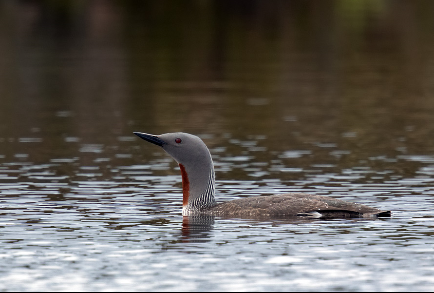
Hurlstone Point is known as a better seawatching point than Porlock Weir. You can expect a good selection of land/seabird and wader species, in the near past Alondra Cornuda, Escribano Nival and Alcaudón Norteño have been seen. More regular are Colimbo Chico, Colimbo Ártico, Colimbo Grande, Pardela Pichoneta, Mérgulo Atlántico, Arao Común, Alca Común, Espátula Común, Zarapito Real, Ostrero Euroasiático, Archibebe Común and Tarro Blanco amongst many others.
Detalles
Accesso
The A39 runs East to West through the town of Porlock, for Porlock Weir (car park - fee payable) turn Right onto the B3225 just after the town of Porlock, for Bossington Hamlet (car park - fee payable) turn Right onto Old Lane just before the town of Porlock, this road soon becomes Bossington Lane that takes you to the car park in Bossington.
Terreno y habitat
Árboles y arbustos dispersos , Pradera , Río , Mar , Ciudad/Pueblo , Agricultura , Pisos de barro , Playa , HumedalCondiciones
Plano , Pantanoso , Resbaladizo , Nivel del agua alto probable , Paisaje abierto , MontañosoCamino circular
Sí¿Se necesita telescopio?
SíBuena época para el avistamiento de aves
Todo el añoMejor momento para visitar
Invierno , Primavera , Otoño , Migración de otoño , Migración de primavera , VeranoRuta
Camino estrecho , Camino sin asfaltar , Camino ancho , Camino pavimentadoCamino difícil de andar
Caminata mediaAccesible vía
A pie , Bicicleta , CocheEscondite de observación / plataforma
NoInformación extra
WARNING due to the frequent dynamic evolving beach and saltmarsh and high tide, it may not be possible to walk the full length of the beach (CHECK HIGH TIDE TIMES). There are paths and boardwalks across the saltmarsh to take as shortcuts and for seawatching points PRESS STARS ON MAP FOR INFORMATION.


 ) insertar los nombres de aves en tu propio idioma. ¡Los nombres de las aves serán traducidos automáticamente para otros usuarios!