, CC BY 4.0 httpscreativecommons.orglicensesby4.0, via Wikimedia Commons.jpg)

Descripción
Muddus National Park is one of the quietest places in Sweden, part of Laponia, and a Unesco World Heritage Site. The national park is consisting of forests, lakes and marshes largely on a plateau bisected by a valley, broad in the north but passing through narrow gorges in the south. The park has mainly old-growth forest and large boggy grounds. The forest has a lot of old large trees, consisting mainly of pine and spruce with some birch and willow.
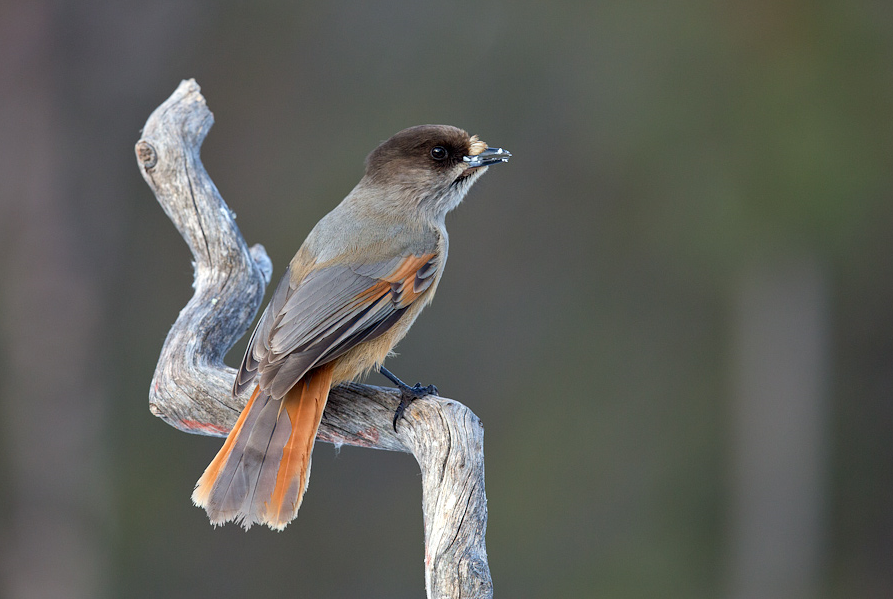
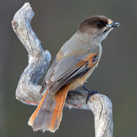
Due to the intact primeval forests the area has a large boreal bird community. In the forest you can encounter birds like Grévol Común, Gallo lira común, Urogallo Común, Arrendajo Siberiano, Camachuelo Picogrueso, Pico tridáctilo and Carbonero Lapón. Owls that can be spotted include Mochuelo Alpino, Cárabo Uralense, Cárabo Gavilán, Búho Real and Mochuelo Boreal. Raptors that can be seen include Águila Real, Aguilucho pálido, Águila Pescadora and Halcón Peregrino. On the lakes you can observe Cisne Cantor, Porrón Osculado and Colimbo Ártico. In the marshes of the park you can spot Grulla Común, Andarríos Bastardo, Correlimos Común, Archibebe Claro and Agachadiza común.
Muddus is also known for its mammals. Within the boundaries of the national park live Brown Bear, Wolverine, Lynx, Pine Marten, Otter, Reindeer, Moose and Beaver.
Detalles
Accesso
Muddus national park is located in Sweden's far north, 20 km north of the town of Jokkmokk. The easiest way to get there is by car from Jokkmokk, passing the dam of the Luleälven hydroelectric power station (Vattenkrafverk Ligga) near the village of Ligga, and from there to the parking at the entrance. Press P on the map for directions to the parking.
In Muddus national park there is a summer trail system approximately 50 km long. The hiking trail makes it easy to explore large parts of the national park. But the distances can be long and there can be a lot of mosquitoes in the summer, so make sure you are prepared. The long 46 km trail that is indicated on the map is a path that follows ancient migratory routes, passing by five cabins with sleeping accommodations that are open year-round. But of course you can also do just a part of the trail or the 4 km circular walk at the beginning of the trail.


 ) insertar los nombres de aves en tu propio idioma. ¡Los nombres de las aves serán traducidos automáticamente para otros usuarios!