Descripción
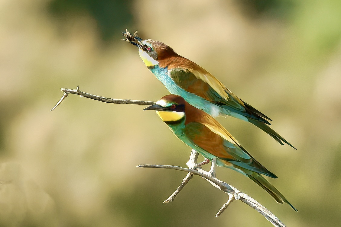
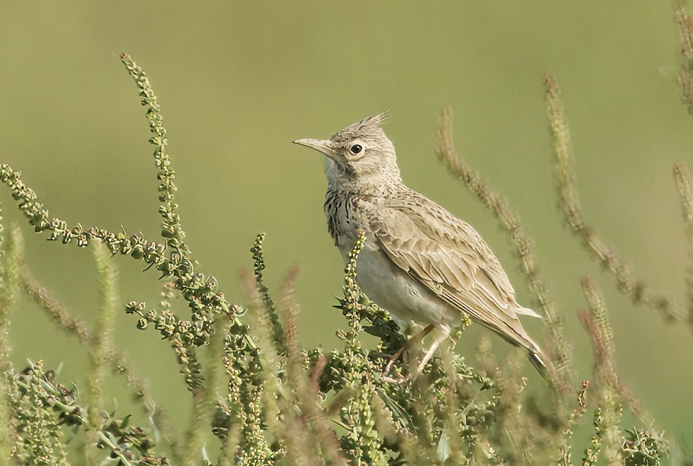
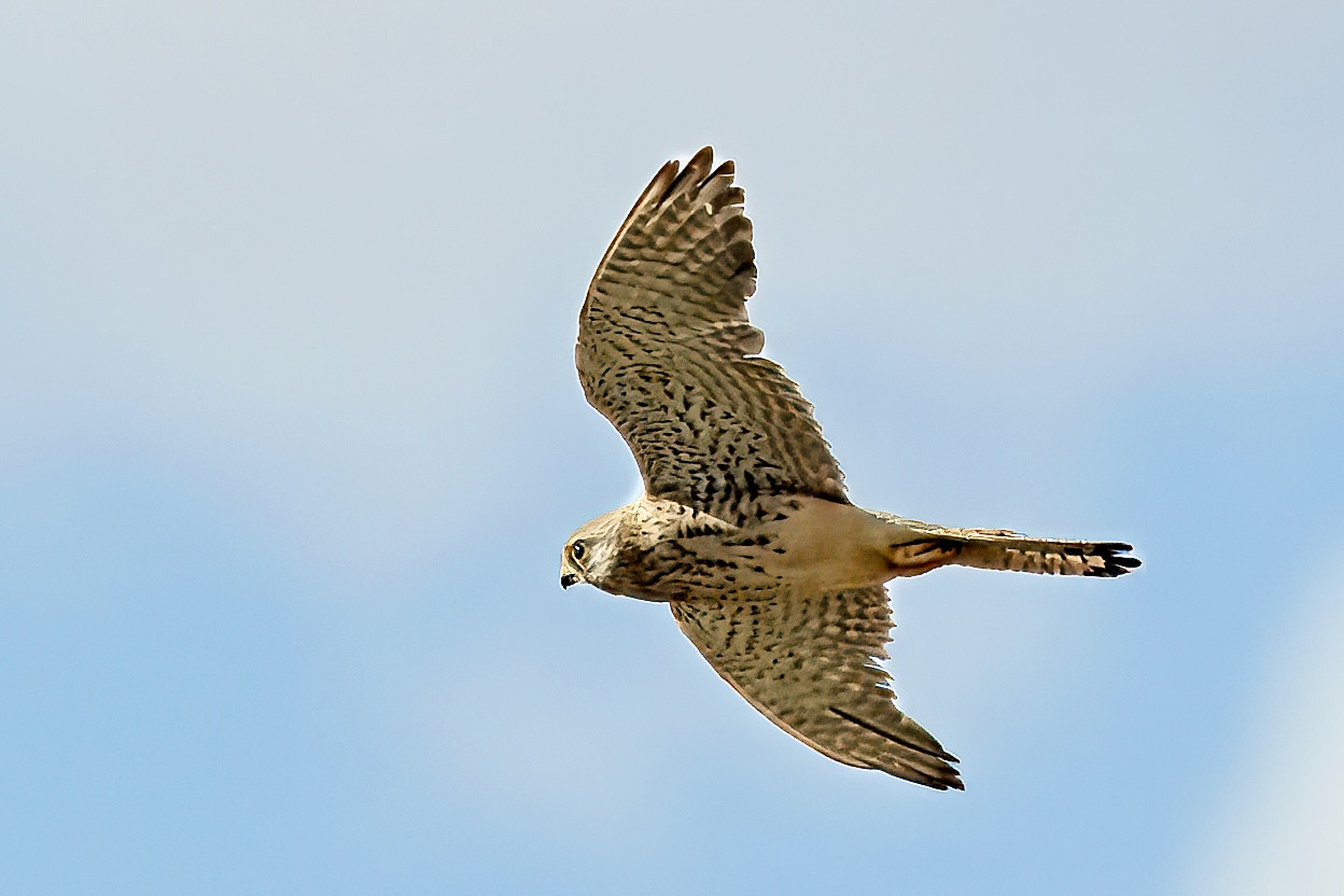
Saladares de Guadalentìn nature reserve at the bottom of the Guadalentín Valley, between Sierra Espuña and the Sierra de Carrascoy, is this protected landscape, camouflaged among a large agricultural mosaic of extensive irrigated crops, wooded crops and human constructions, where the natural vegetation of the area appears at its greatest expression: the saladar. It is a salt plain around different river courses. The area of 2,600 hectares of wide mead owed olive groves, cereal plantations, fallow land and, above all, extensive salt marshes, constitute another important ecosystem, the steppe. Many nice birds can be seen here like Carraca Europea, Águila Real, Cernícalo Primilla, Ganga Ortega and Cigüeñuela común And many more, see the extended birdlist below.
Detalles
Accesso
Near Alhama de Murcia. Click on the P on the map to get directions to the viewpoint. On the map you also see a 15 km long circular trail. If you are going to do this on foot, take plenty of water and don't do this hike in summer in the middle of the day. And also not at sunset because of abundant mosquitoes


 ) insertar los nombres de aves en tu propio idioma. ¡Los nombres de las aves serán traducidos automáticamente para otros usuarios!