Descripción
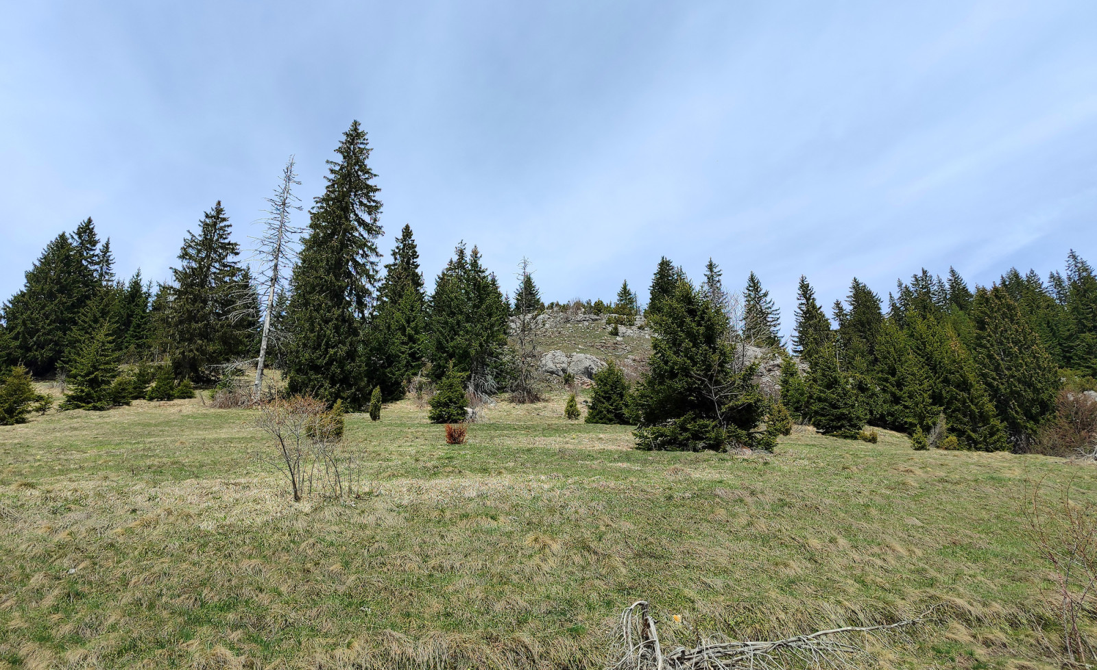
Zlatar mountain lies between rivers Lim, Uvac, Mileševka, and Bistrica. Its highest peak is Velika Krševa ('Big Karst', 1627 meters) with Spruce forest on the northern and scrubby and rocky meadows on the southern slopes. Beneath the Velika Krševa peak is the Vodena Poljana ('Water Meadow') in which there is a fountain spring with drinking water. South of Vodena Poljana is the Special Nature Reserve Ivlje forest, which has a unique mixed forest of Spruce and European red pine.
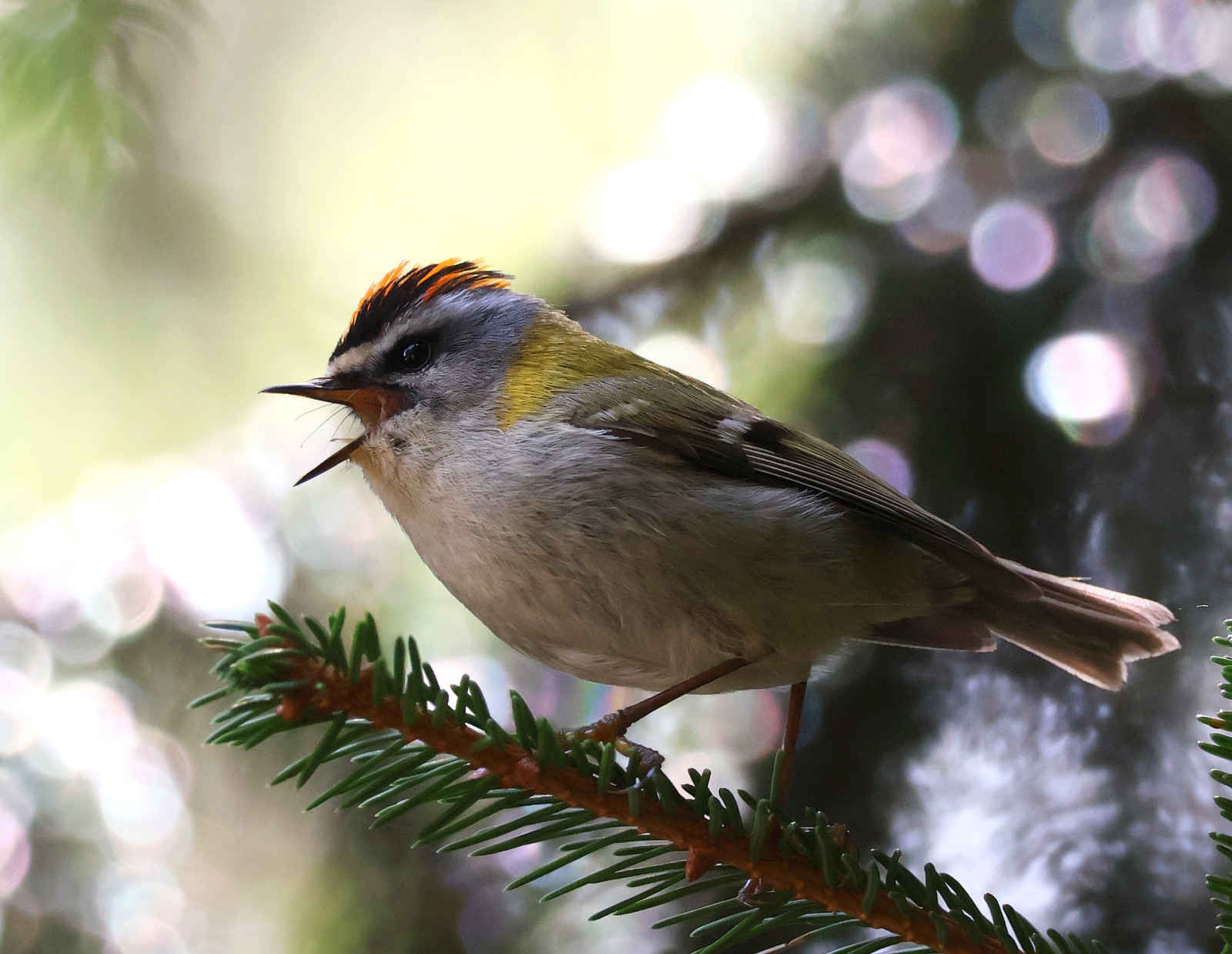
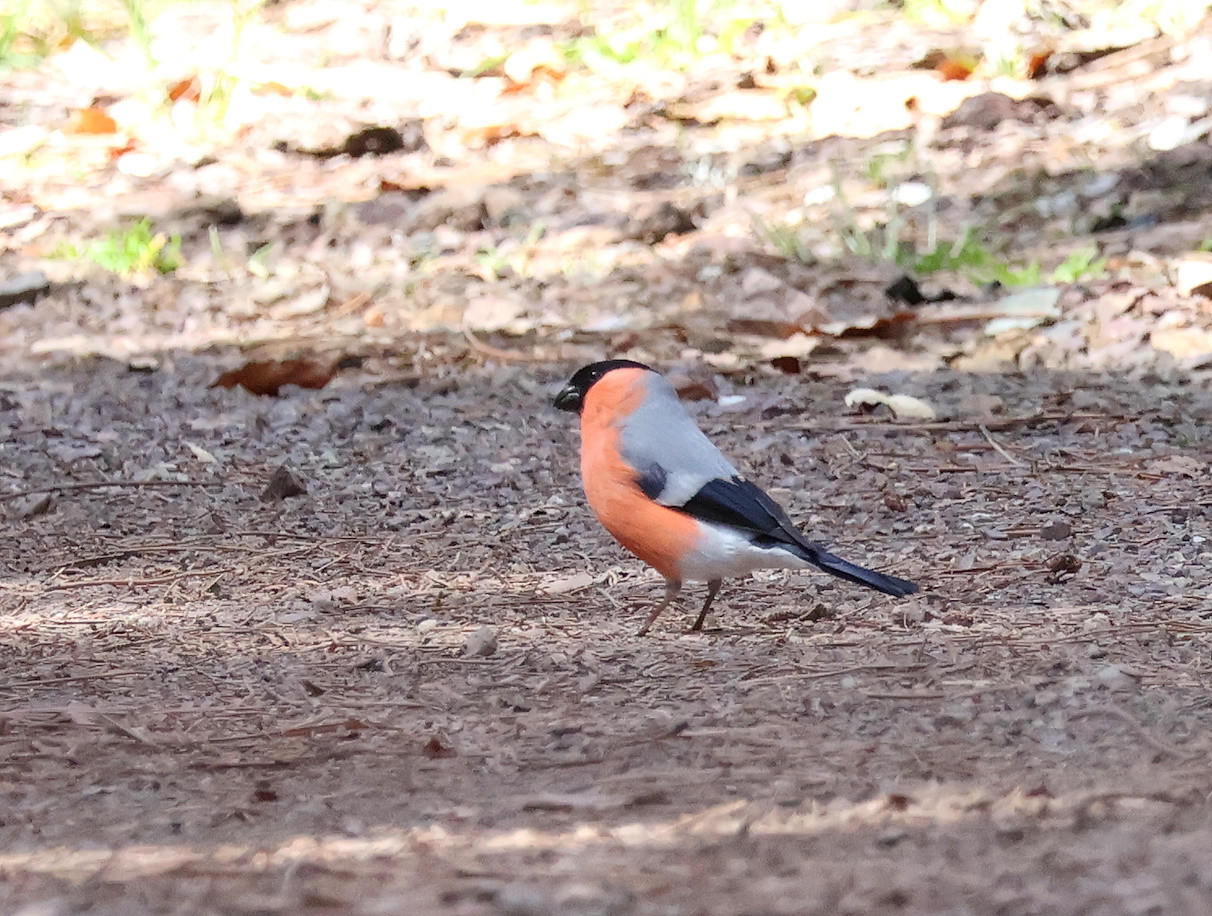
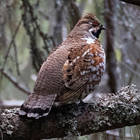
Many dirt roads and paths depart from Vodena Poljana, some of them are marked on the map below. The dirt road to the east winds shortly through the forest to reach steep and occasionally rocky meadows below the Zlatar peaks. Here you can find Camachuelo Común, Carbonero Garrapinos, Herrerillo Capuchino, Carbonero Montano, Reyezuelo Listado, Reyezuelo Sencillo, and Acentor Común. Darker and colder northern Zlatar slopes can be explored by choosing the dirt road to the north where you need some luck to find Pico tridáctilo, Mochuelo Alpino, or Mochuelo Boreal. Finally, if you do not mind going down by foot, the path to the south passes through the Ivlje forest, where you may encounter Piquitureto Común.
Detalles
Accesso
To reach Vodena Poljana and Velika Krševa, turn to the west from the regional road Nova Varoš - Sjenica and follow the paved road to the forest hut and the log church where it is possible to conveniently park.
The dirt road from Vodena Poljana to the west is passable by normal cars, while the dirt road to the north may be muddy with a lot of puddles after rainy days.
Terreno y habitat
Bosque , Montaña , Árboles y arbustos dispersosCondiciones
MontañosoCamino circular
No¿Se necesita telescopio?
NoBuena época para el avistamiento de aves
Verano , Primavera , OtoñoMejor momento para visitar
Verano , Primavera , OtoñoRuta
Camino sin asfaltar , Camino ancho , Camino estrechoCamino difícil de andar
Caminata mediaAccesible vía
A pie , Coche , BicicletaEscondite de observación / plataforma
NoEnlaces
- 'Velika Krševa' eBird hotspot
- 'Zlatar proplanak' eBird hotspot
- 'Babića brdo, Zlatar' eBird hotspot
- eBird barchart of all 3 hotspots
- IBA Zlatar


 ) insertar los nombres de aves en tu propio idioma. ¡Los nombres de las aves serán traducidos automáticamente para otros usuarios!