
Descripción
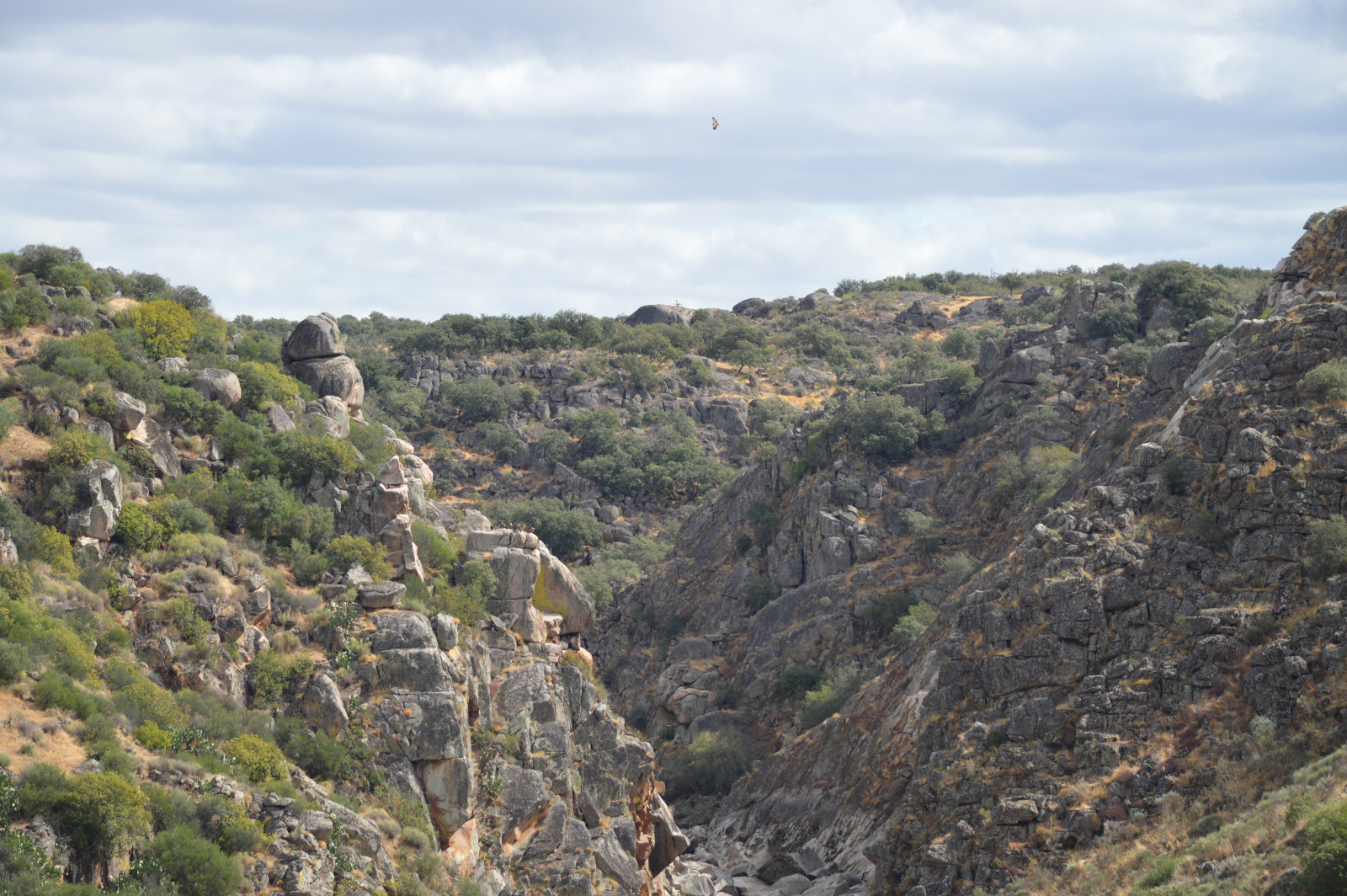
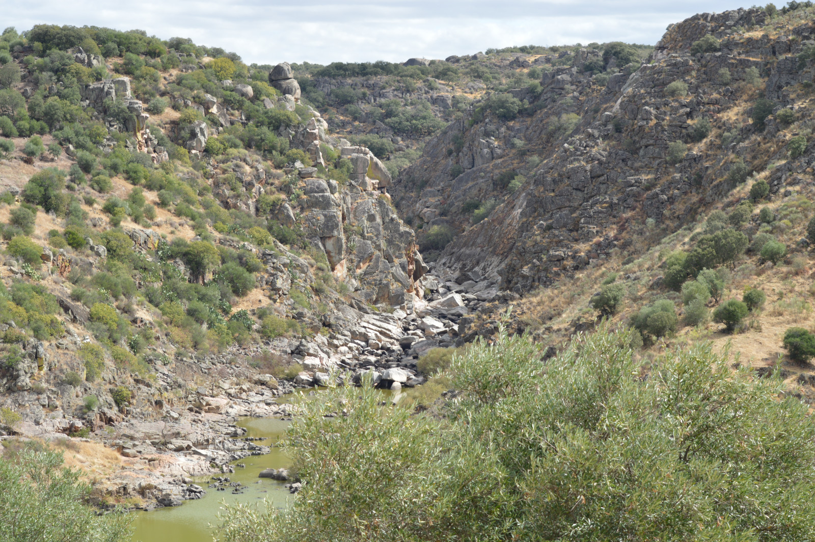
Canhão do Erges is one of the most inhospitable and remote places in Portugal. The Erges is still a wild river with great erosive capacity that led to the formation of three impressive gorges within a short distance. Exploring these canyons, where the river flows at a depth of 150 m, is a perfect opportunity to discover a great diversity of birds. The cliffs are an important nesting and resting place for Buitre Leonado, Alimoche Común, Black Vulture, Cigüeña Negra, Águila perdicera, Roquero Solitario and Búho Real. Here, the skies are also crossed by birds of prey like Culebrera Europea, Águila calzada, Águila Real, Milano Real, Milano Negro, Busardo ratonero and aerial birds such as Vencejo Real, Vencejo Común, Avión Zapador, Golondrina Común, Avión Común, Avión Roquero and Golondrina Dáurica.
From the Roman bridge of Segura, that connects Portugal to Spain, you can observe Martín Pescador Común, Zampullín Común, Andarríos Chico, Andarríos Grande, Cormorán Grande and Garza Real. This is also a great place to observe Zarcero Políglota, Cetia Ruiseñor, Curruca Capirotada, Curruca Cabecinegra, Curruca Mirlona and Curruca Rabilarga, which usually feed and shelter in the bushes by the river. In the surroundings lands of Segura it is possible to detect and watch birds like Codorniz Común, Perdiz Roja, Paloma Zurita, Críalo Europeo, Cuco Común, Avefría Europea, Abubilla común, Abejaruco Europeo, Oropéndola Europea, Alcaudón Común, Alcaudón real, Rabilargo Ibérico, Urraca común, Cogujada Montesina, Gorrión Moruno, Gorrión Chillón, Pardillo Común, Escribano Triguero, Escribano Montesino and Escribano Soteño.
Detalles
Accesso
Start by driving to the Roman bridge of Segura, from where can you see the village, the Erges river bed and the surrounding landscape, occupied by many species of birds. After that, you can drive along the riverside until the “Centro Interpretativo da Biodiversidade”, which has a good view into the interior of the granite outcrop. Finally, you can drive to a sandy area, with some watermills, where the canyon starts. See the map below.


 ) insertar los nombres de aves en tu propio idioma. ¡Los nombres de las aves serán traducidos automáticamente para otros usuarios!