
Descripción
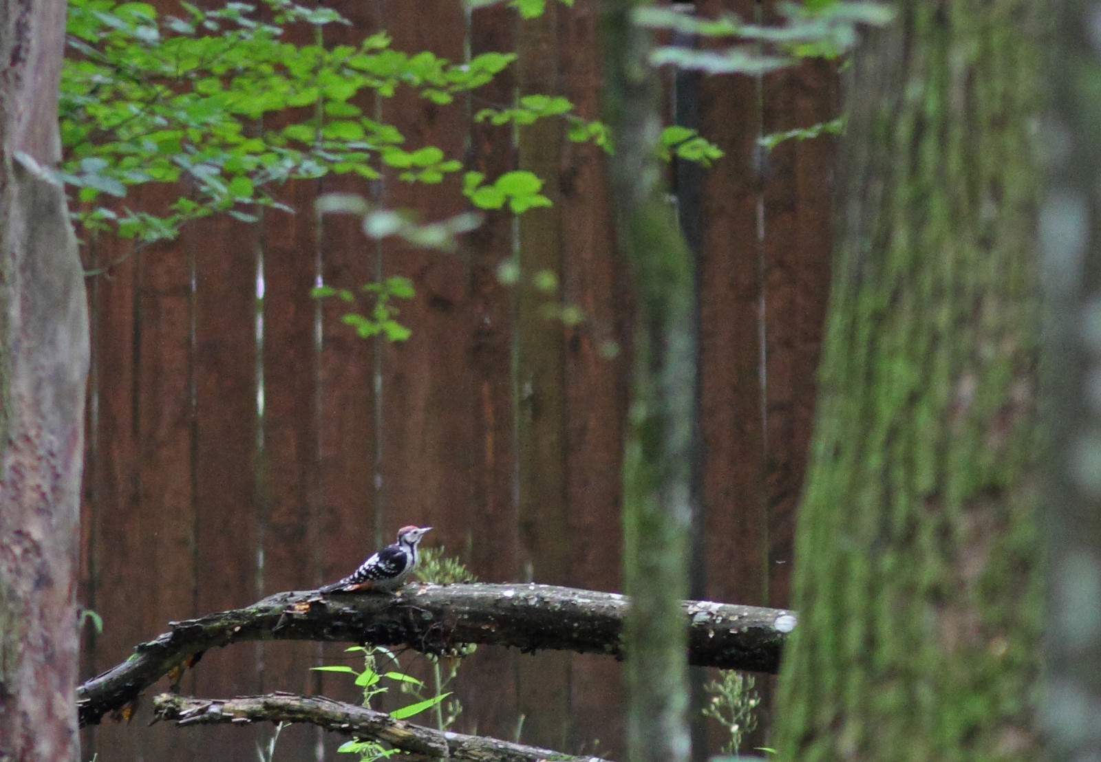
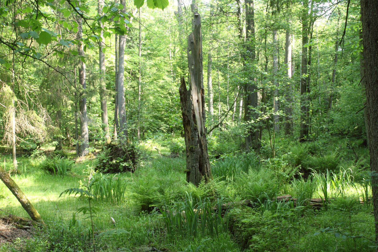
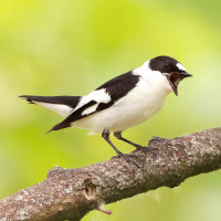
The first stretch of Żebra Żubra trail traverses a magnificent, ancient patch of alder carr forest. Dikes and boardwalks allow you to keep your feet dry. Many of Białowieża's specialties can be found here, including Pico tridáctilo, Pico Dorsiblanco, Pito Cano, Pico Menor and Grévol Común. After passing Białowieża's little zoo, the trail traverses another superb patch of old-growth forest, this time of the Oak-Linden-Hornbeam variety. It immediately becomes apparent that the higher, drier soils here give rise to a completely different type of vegetation. Because of this the bird community here differs slightly from that of the alder carr forest. Pico Dorsiblanco, Pico Mediano, Picamaderos Negro, Papamoscas Acollarado and Papamoscas Papirrojo are among the possibilities here.
Just before entering the village of Białowieża proper, it is possible to cut back to the car park though the meadows of Zastawa. These wet meadows, with interspersed trees and bushes, are home a different ensemble of birds altogether. Alcaudón Dorsirrojo and Ruiseñor Ruso are fairly common while Camachuelo Carminoso and Curruca Gavilana require more luck to spot. From the car park it is a short walk to a nearby watchtower. This spacious platform is a nice spot to have a break and maybe something to eat or drink. The tower overlooks the valley of the Narewka and is an excellent spot to do some more birdwatching. Here, a telescope might come in handy. With a bit of luck, Cigüeña Negra or Águila Pomerana can be seen soaring overhead and in late spring or summer evenings, a choir of Guión de Codornices can usually be heard.
Detalles
Accesso
From Białowieża village, take the road heading to Pogorzelce, Teremiski and Budy. Some 100 meters after entering the forest (immediately after passing Skansen Open Air Museum), a small car park on the left hand side marks the beginning of the trail. Alternatively, continue down the same road for another 700 meters to find the car park of the watchtower on your right hand side. Click on the P in the map to get directions. The length of the walking route indicated on the map is about 9 km.


 ) insertar los nombres de aves en tu propio idioma. ¡Los nombres de las aves serán traducidos automáticamente para otros usuarios!