Descripción
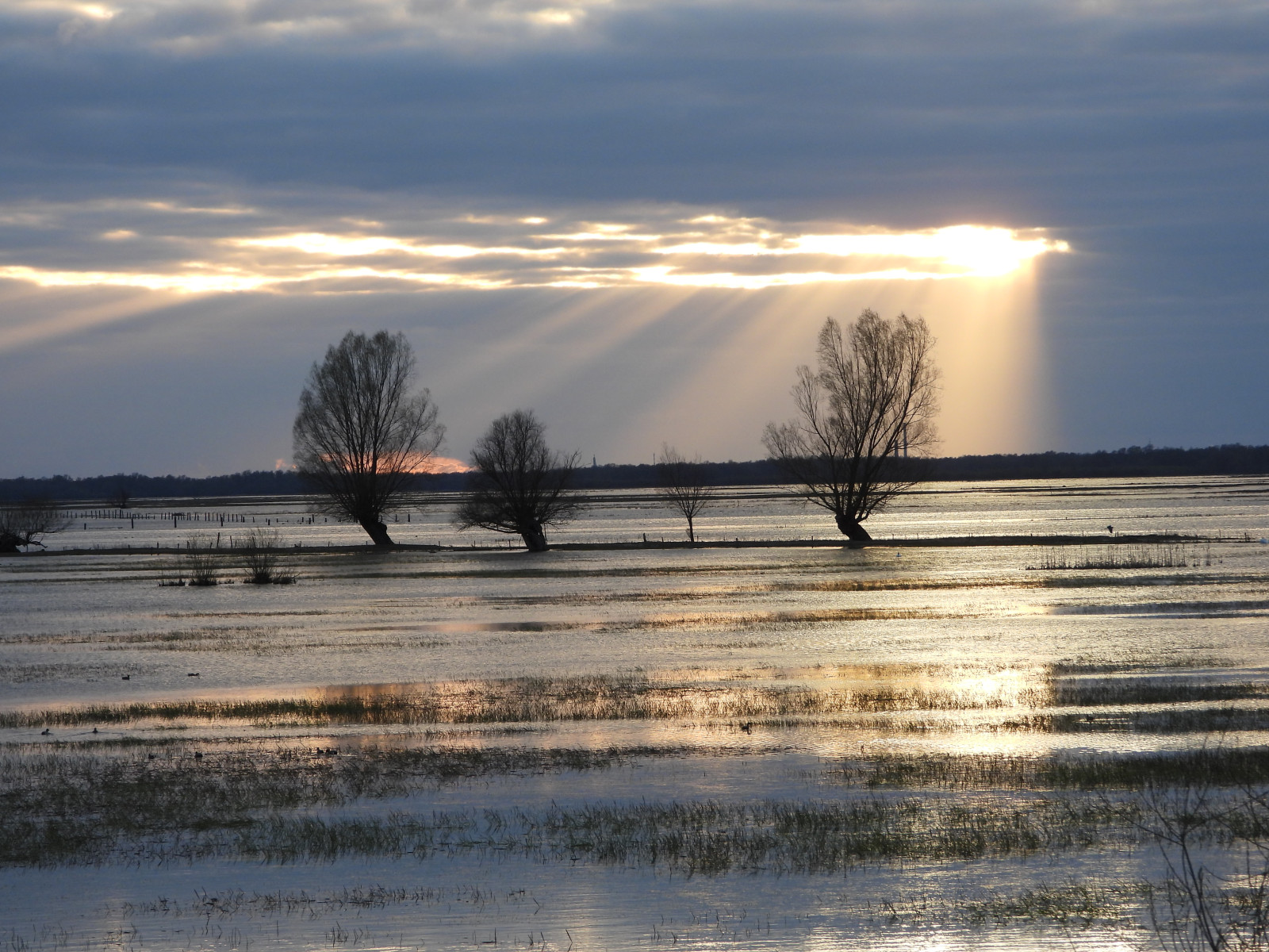
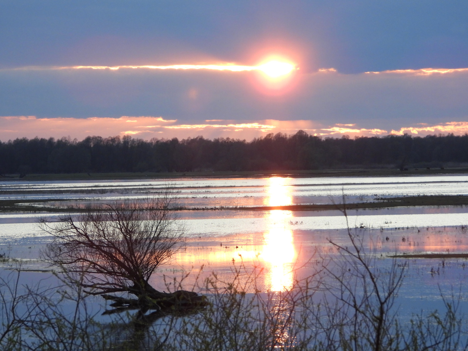
The flood plain of the Postomia River is a flat area covered with grasses and old willows. The area of the former "New America" created by Dutch settlers in the 18th century. In the shallow backwaters many ducks, geese and waders feed.
_________________________
Polski: Równina zalewowa rzeki Postomii to płaski teren porośnięty trawami i starymi wierzbami. Obszar dawnej „Nowej Ameryki” utworzonej przez osadników holenderskich w XVIII wieku. W płytkich rozlewiskach żeruje wiele kaczek, gęsi i ptaków brodzących.
Detalles
Accesso
A place near Kostrzyn nad Odrą and Słońsk, a few kilometers from the Polish-German border. The area is located in the immediate vicinity of the "Betonka" nature trail, well-known among bird watchers (also described on Birdingplaces). It is easy to get here by car or bicycle. The easiest way to park your car is in Słońsk or Przyborów. The area can be explored by car (an uneven dirt road - not recommended), but it is best to cover the suggested route by bicycle or on foot. The circular route marked on the map is approximately 7.5 km long In April 2022, the water level made it possible to travel the entire route. There was a real "duck soup" in the shallows - Ánade rabudo norteño , Silbón Europeo , Ánade friso , Ánade azulón Cerceta Común , Cerceta Carretona , Cuchara Común . In a ddition to ducks, large groups of Combatiente , numerous herons : , Garceta Grande, Garza Real storks - Cigüeña Blanca , Cigüeña Negra , Ánsar común , Cisne Vulgar . Pigargo Europeo and Halcón Peregrino , Milano Real , Cernícalo vulgar could be seen.
In April 2023, the route was only partially accessible due to high water levels. In August 2022, one of the observers documented in the vicinity of the pump station - see photos.
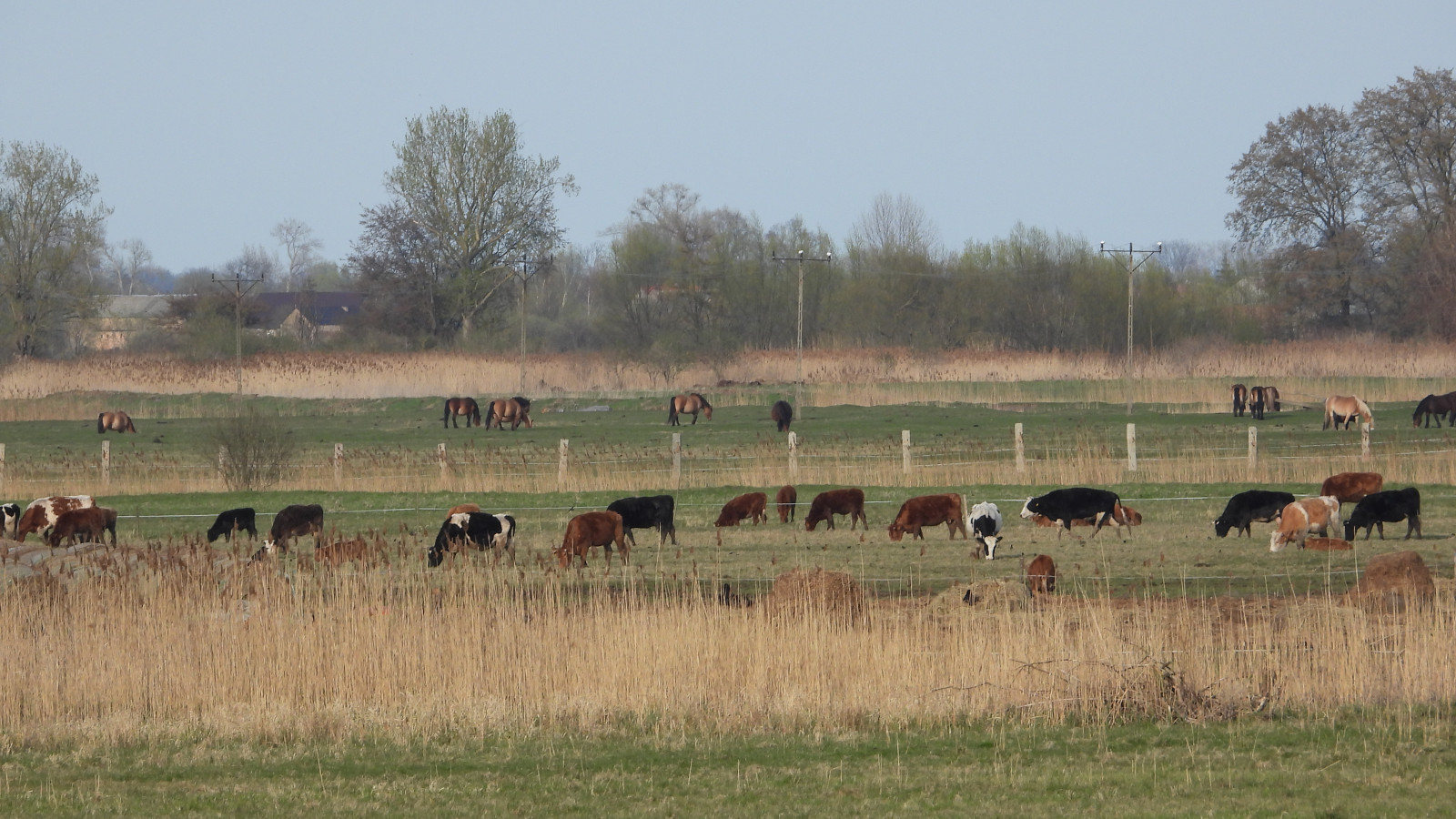
Wandering along the route, picturesquely large herds of horses and cows graze in the surrounding meadows.
______________________________
Polski: Miejsce niedaleko Kostrzyna nad Odrą i Słońska, kilka kilometrów od granicy polsko-niemieckiej. Obszar znajduje się w bezpośrednim sąsiedztwie znanej wśród obserwatowów ptaków ścieżki przyrodniczej „Betonka” (opisanej również na Birdingplaces). Łatwo tu dojechać samochodem lub rowerem. Najłatwiej zaparkować samochód w Słońsku lub Przyborowie. Teren można eksplorować samochodem (nierówna droga gruntowa- niezalecane), ale najlepiej przebyć sugerowaną trasę rowerem lub pieszo. Trasa okrężna zaznaczona na mapie ma około 7,5 km długość
W kwietniu 2022 roku poziom wody umożliwił podówczas przebycie całej trasy. Na płyciźnie była prawdziwa „kacza zupa” - Ánade rabudo norteño [kliknij i przeciągnij, żeby przenieść] , Ánade azulón , Cerceta Común , Silbón Europeo , Cerceta Carretona, Ánade friso , Cuchara Común . Oprócz kaczek duże stada Combatiente , liczne czaple (Garceta Grande , Garza Real), bociany (Cigüeña Negra , ) , Ánsar común Cisne Vulgar . Można było zobaczyć Pigargo Europeo , Halcón Peregrino., Milano Real , Cernícalo vulgar . W kwietniu 2023 trasa była dostepna jedynie częściowo z powodu wysokiego stanu wody.
W sierpniu 2022 roku jeden z obserwatorów udokumentował w okolicach stacji pomp - patrz zdjęcia.
Wędrując trasą na okalających łąkach pasą się malowniczo duże stada koni i krów.
Terreno y habitat
Llanura , Humedal , Árboles y arbustos dispersos , Pradera , Río , Pisos de barro , LagoCondiciones
Plano , Pantanoso , Sin sombra , Nivel del agua alto probable , Paisaje abiertoCamino circular
Sí¿Se necesita telescopio?
Puede ser útilBuena época para el avistamiento de aves
Todo el año , Primavera , OtoñoMejor momento para visitar
Migración de otoño , Migración de primaveraRuta
Camino sin asfaltar , Camino pavimentadoCamino difícil de andar
Caminata mediaAccesible vía
A pie , Bicicleta , CocheEscondite de observación / plataforma
NoInformación extra
When planning a visit to this place, always check the water level on the National Park website. See the link below.
In the Nature Tourism Office "Dudek" you can easily use ornithological tips, find a hospitable place to sleep, and you can also become a Citizen of the Republic of Birds - link below.
________________________
Polski: Planując wyjazd sprawdż poziom wody wokolicy na stronie Parku Narodowego Ujście Warty - link poniżej.
W Biurze Turystyki Przyrodniczej "Dudek" z łatwością skorzystasz z ornitologicznych wskazówek, znajdziesz gościnne miejsce do spania, a także możesz zostać Obywatelem Rzaczpospolitej Ptasiej - link poniżej


 ) insertar los nombres de aves en tu propio idioma. ¡Los nombres de las aves serán traducidos automáticamente para otros usuarios!