

Descripción
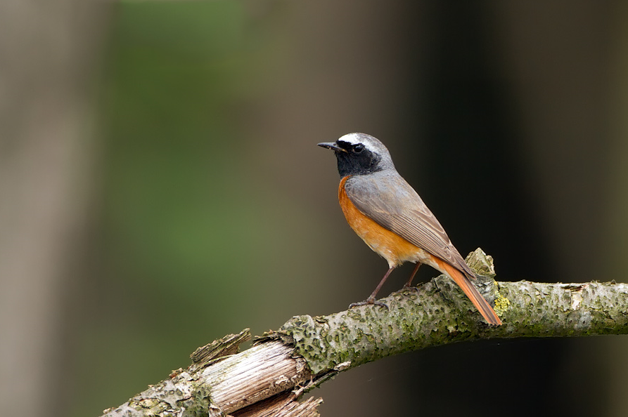
Eyecatcher is the Tongerense Berg (hill) with a beautiful view. Descending to the Wisselse Veen, the terrain becomes flatter and wetter. The heather flows into grassland. More to the north lies the Tongerense Veen with streams, stream banks, grasslands, bushes and wood girths. Known for the many Herrerillo Capuchino. In the forested areas you can also find Búho Chico, Azor Común and Busardo ratonero. Chotacabras Europeo, Escribano Cerillo, Tarabilla común, Bisbita Arbóreo and Alondra Totovía are found on the open heath. Birds such as Agachadiza común, Rascón Europeo and Escribano Palustre breed in the wet area of the Wisselse Veen.
_________________________
Nederlands: In het hooggelegen gebied van de Tongerense Heide vind je bos, heide en vennen. Blikvanger is de Tongerense Berg met een prachtig uitzicht. Afdalend naar het Wisselse Veen wordt het terrein vlakker en natter. De heide verandert in grasland. Meer naar het noorden ligt het Tongerense Veen met beekjes, beekoevers, graslanden, struikgewas en houtsingels. Bekend om de vele Herrerillo Capuchino. In de beboste gebieden zijn ook Búho Chico, Azor Común en Busardo ratonero te vinden. Chotacabras Europeo, Escribano Cerillo, Tarabilla común, Bisbita Arbóreo en Alondra Totovía zijn te vinden op de open heide. Vogels als Agachadiza común, Rascón Europeo en Escribano Palustre broeden in het natte gebied van het Wisselse Veen.
Detalles
Accesso
Park best at the start of Van Manenspad (see the P on the map on the north side) or at the crossing Oranjeweg/Gortelseweg (see the P on the map on the south side). There are two marked hiking trails, one of 5 and one of 4 kilometers. But you can also easily make a longer walk like the route on the map (12,5 km).
_________________________
Nederlands: Parkeer het beste aan het begin van het Van Manenspad (zie de P op de plattegrond aan de noordzijde) of bij de kruising Oranjeweg/Gortelseweg (zie de P op de plattegrond aan de zuidzijde). Er zijn twee gemarkeerde wandelroutes, een van 5 en een van 4 kilometer. Maar je kunt ook gemakkelijk een langere wandeling maken zoals de route op de kaart (12,5 km).
Terreno y habitat
Bosque , Humedal , Montaña , Árboles y arbustos dispersosCondiciones
PlanoCamino circular
Sí¿Se necesita telescopio?
Puede ser útilBuena época para el avistamiento de aves
Todo el añoMejor momento para visitar
PrimaveraRuta
Camino pavimentadoCamino difícil de andar
FácilAccesible vía
Bicicleta , A pieEscondite de observación / plataforma
NoEnlaces
- Recent bird sightings in the area on Waarneming.nl
- www.glk.nl/landschappen-kastelen/locatie/tongeren (more info in Dutch)


 ) insertar los nombres de aves en tu propio idioma. ¡Los nombres de las aves serán traducidos automáticamente para otros usuarios!