._Locatie,_Schaopedobbe_(Schapenpoel)_16.jpg)

Descripción
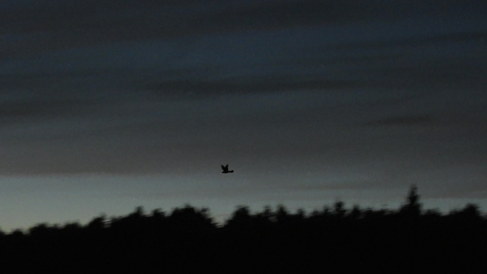
The Schaopedobbe is a heathland area of 91 hectares. A varied terrain with heathland and a number of water pools. A striking feature of this area is the differences in heights. Typical heather birds such as Tarabilla común, Alondra Totovía, Alondra Común, Bisbita Arbóreo, Escribano Cerillo and Chotacabras Europeo can be encountered here. But also various species of woodpeckers and other forest birds.
_________________________
Nederlands: De Schaopedobbe is een heidegebied van 91 hectare groot van It Fryske Gea. Een gevarieerd terrein met heide, zandverstuivingen, groepjes bomen en een aantal waterpoelen (dobben). Een opvallend kenmerk van dit gebied zijn de verschillen in hoogtes. Typische heidevogels zoals Tarabilla común, Alondra Totovía, Alondra Común, Bisbita Arbóreo, Escribano Cerillo en Chotacabras Europeo kun je hier tegenkomen. Maar ook diverse soorten spechten en andere bosvogels.
Detalles
Accesso
Schaopedobbe nature reserve is located directly east of the village of Elsloo. There are several parkings around the nature reserve. Click on a P on the map for directions to a parking lot. Schaopedobbe is freely accessible during the day on roads and paths outside the breeding season. During the breeding season, from March 15 to July 1, part of the walking route is closed (this will be indicated on site). The circular walk indicated on the map is approximately 6 km.
_________________________
Nederlands: Natuurgebied Schaopedobbe ligt direct ten oosten van het dorp Elsloo. Er zijn diverse parkeerplaatsen rondom het natuurgebied. Klik op een P in de kaart voor een routebeschrijving naar een parkeerplaats. Schaopedobbe is buiten het broedseizoen overdag vrij toegankelijk op wegen en paden. Tijdens het broedseizoen, van 15 maart tot 1 juli, is een deel van de wandelroute afgesloten (dit wordt ter plekke aangegeven). De rondwandeling die is aangegeven op de kaart is ongeveer 6 km.
Terreno y habitat
Árboles y arbustos dispersos , Lago , BrezalesCondiciones
Montañoso , Paisaje abiertoCamino circular
Sí¿Se necesita telescopio?
NoBuena época para el avistamiento de aves
Todo el añoMejor momento para visitar
PrimaveraRuta
Camino estrechoCamino difícil de andar
FácilAccesible vía
A pieEscondite de observación / plataforma
NoEnlaces
- Recent bird sightings in the area on Waarneming.nl
- www.itfryskegea.nl/natuurgebied/schaopedobbe
- Photo Schaopedobbe by Dominicus Johannes Bergsma, CC BY-SA 4.0, via Wikimedia Commons


 ) insertar los nombres de aves en tu propio idioma. ¡Los nombres de las aves serán traducidos automáticamente para otros usuarios!