Descripción
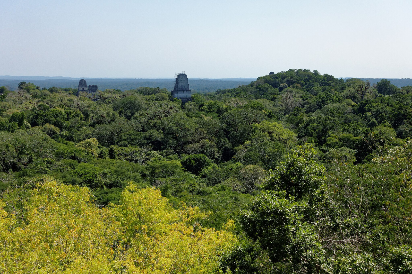
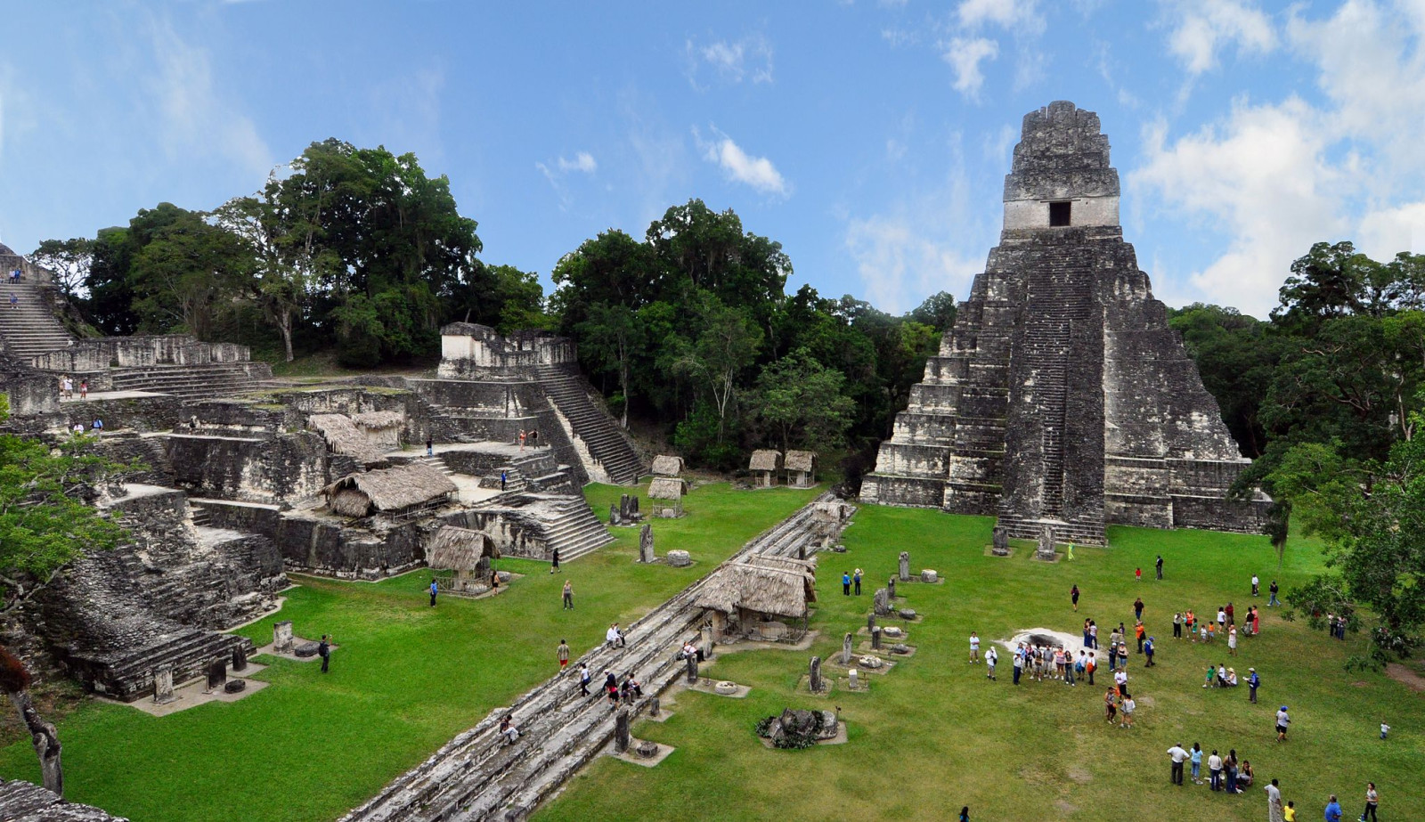
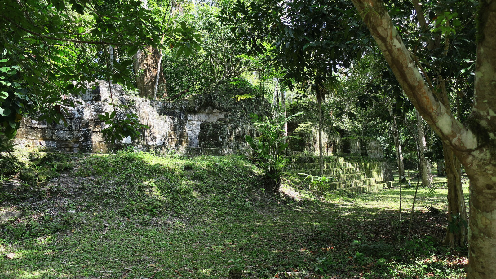
Tikal is the ruin of an ancient city and one of the largest archeological sites of the pre-Columbian Maya civilization. Tikal was Guatemala's first National Park – declared in 1955 – to preserve the Mayan ruins and the extensive broadleaf forest with its diverse wildlife. The jungle setting is fantastic, the ancient ruins amazing and so is the birding. A dense network of trails provides access to rainforest, scrub, and open areas. More than 400 bird species have been reported in Tikal National Park.
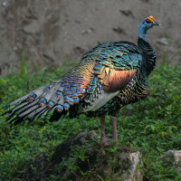
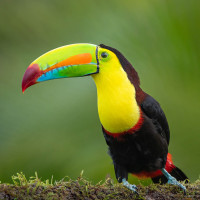
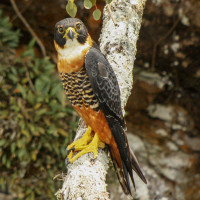
The temples are excellent viewpoints to see canopy birds such as Keel-billed Toucan, parrots and raptors. Tikal is one of the best sites to see the rare Orange-breasted Falcon. The temple grounds are also a very good spot to observe the beautiful and endemic Ocellated Turkey. Army ant swarms are often accompanied by mixed foraging flocks, with several species of woodcreepers, Red-crowned Ant-Tanager and Red-throated Ant-Tanager, Grey-headed Tanager, Black-throated Shrike-Tanager, and Tawny-crowned Greenlet.
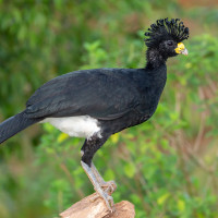
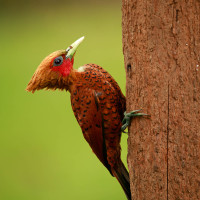
Other birds you can encounter include Great Curassow, Crested Eagle, Slaty-tailed Trogon, Chestnut-colored Woodpecker, Sulphur-bellied Flycatcher, White-bellied Wren, Montezuma Oropendola and many others.
Mammals are also easy to spot. Because hunting is prohibited in Tikal National Park the animals are not shy. You have a good chance of spotting Coaties, Agouties, Gray Fox, Spider Monkey and Howler Monkey.
Detalles
Accesso
Tikal is located in the archeological region of the Petén Basin in northern Guatemala. The site is located 65 km north of the city of Flores and easily accessible on paved roads. Press P on the map for directions. Tikal National Park is open daily from 6:00 AM to 5:00 PM. Tickets cost 150 GTQ (about $ 20 USD, 2025). Several hotels are available in Tikal.
The walking route indicated on the map is about 9 km, but you can easily shorten or lengthen the walk.
 ) insertar los nombres de aves en tu propio idioma. ¡Los nombres de las aves serán traducidos automáticamente para otros usuarios!