
Descripción
The Volkspark Marienberg in northern Nuremberg is one of the largest inner-city green spaces and offers a varied landscape of meadows, woods, ponds, and a small stream across more than 100 hectares. This diversity makes the park not only a popular recreational area, but also a valuable habitat for numerous bird species – including rare and endangered species that rest or even breed here.
The open meadows, interspersed with hedges and groups of trees, offer ideal conditions for Alondra Común, Escribano Cerillo, Estornino Pinto, Lavandera Blanca, and Cernícalo vulgar.
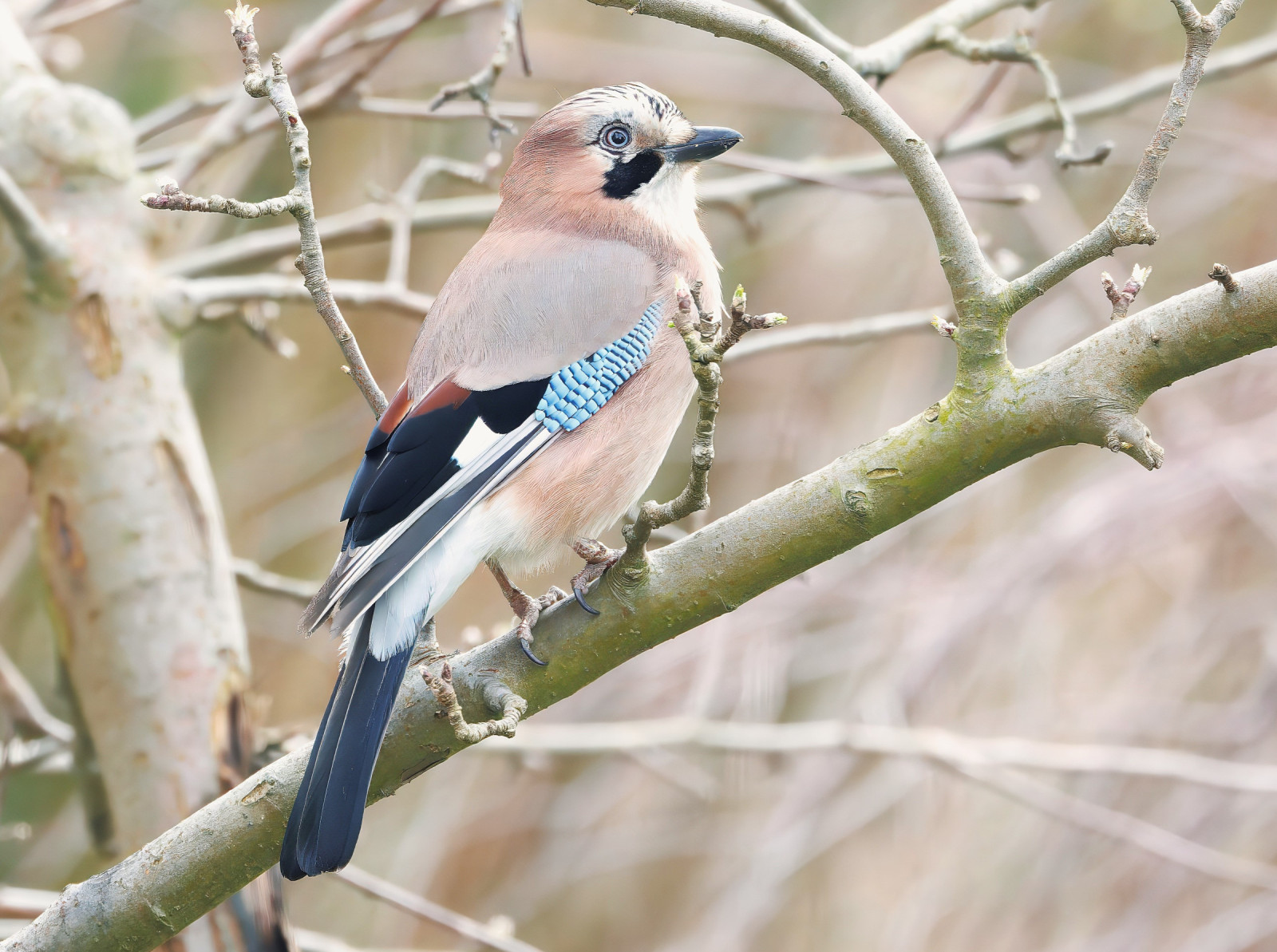
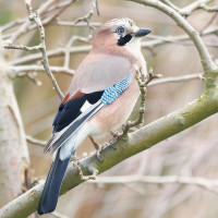
The denser vegetated areas are home to typical songbirds such as Mirlo Común, Chochín Común, Mosquitero Común, Curruca Capirotada, Herrerillo Común, Carbonero Común, and Pico Picapinos.
The Marienbach stream with its natural banks and the ponds in the park attract water birds such as Ánade azulón, Focha Común, Gallineta Común, and occasionally Garza Real and Martín Pescador Común. In winter, Serreta Grande can also be observed – a rather rare guest in urban waters.
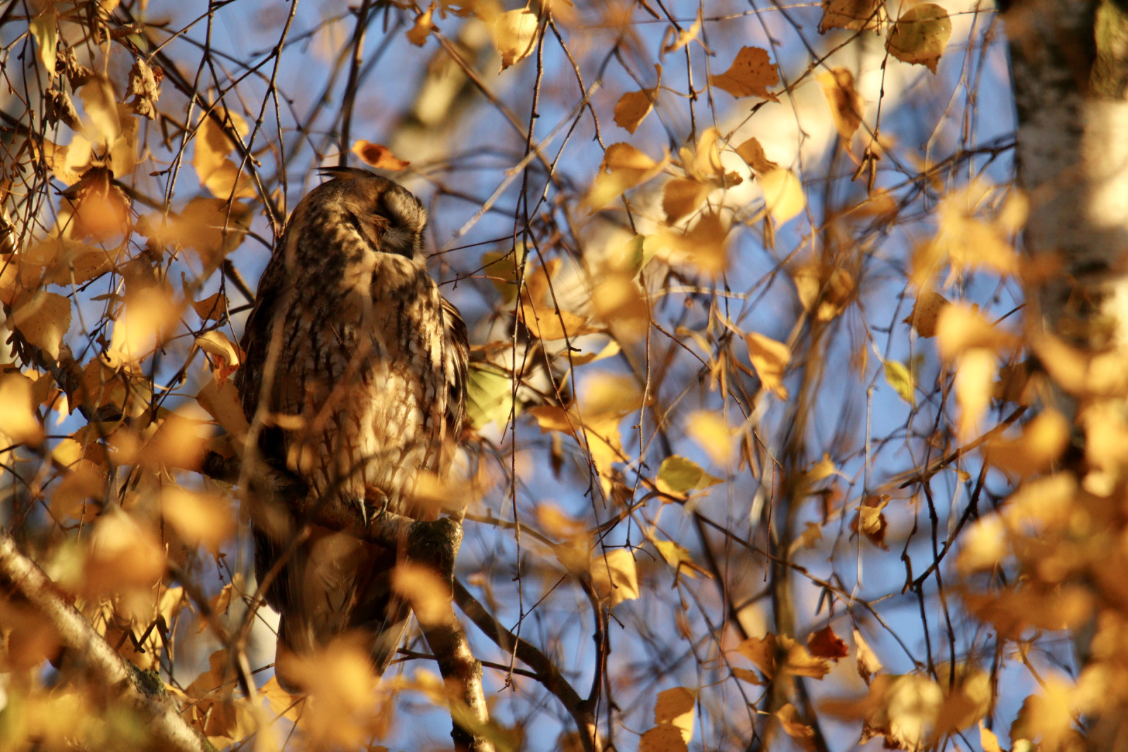
Thanks to its natural design and quiet retreats, Volkspark Marienberg is also attractive to rarer species – especially during the migration periods in spring and fall. These include Bisbita Arbóreo, Colirrojo Real, Alcaudón Dorsirrojo, Torcecuello Euroasiático, Buscarla Pintoja, Lavandera Cascadeña, Serreta Grande, Zorzal Real and occasionally Cuco Común.
Many species can be easily observed, especially in the early morning hours or at dusk. The mixture of open spaces, hedges, water, and old trees makes Volkspark Marienberg a valuable refuge for breeding birds and migrants in the middle of the city and a worthwhile destination for birdwatchers and nature lovers. It is best to avoid the weekends. The park is very popular. In some areas, people play sports and have barbecues.
Detalles
Accesso
Volkspark Marienberg is located in the north of the city of Nuremberg. The park is easily accessible by car, public transportation, bicycle, or on foot. There is ample parking available. Press P on the map for directions. The circular walking route shown on the map is about 3,5 km.


 ) insertar los nombres de aves en tu propio idioma. ¡Los nombres de las aves serán traducidos automáticamente para otros usuarios!