Descripción
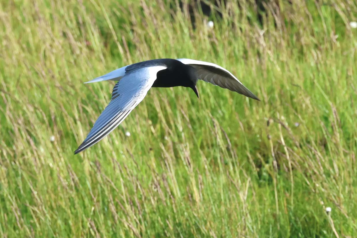
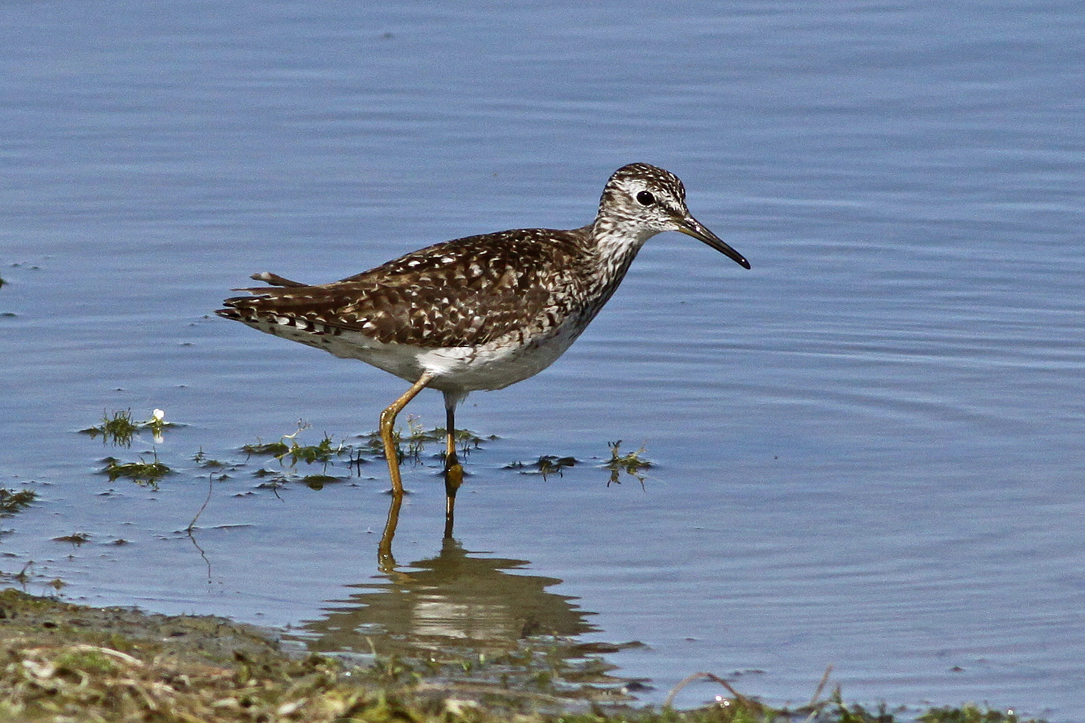
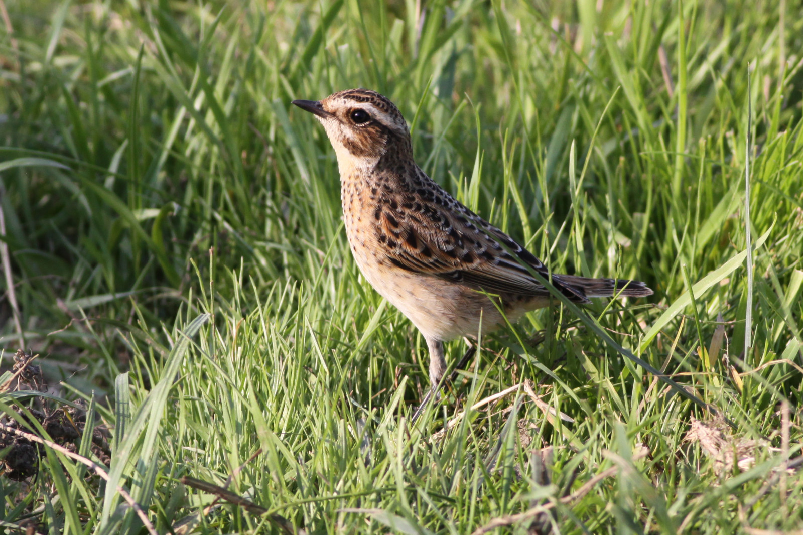
The Katinger Watt borders the Schleswig-Holstein Wadden Sea. It was once a region of mudflats in the estuary of the river Eider, but was drained as part of land reclamation activity and protected from flooding by the Eider Barrage. Today the Katinger Watt is a protected bird sanctuary. A patchwork of ponds, ditches, green and arable land as well as a 350-hectare forest that was created around 1980. Dams separate the area of about 12 square kilometers from the North Sea and the wide mouth of the Eider. The area with its mixture of fresh and salt water attracts many waders, ducks, geese and meadow birds such as Avefría Europea, Zarapito Real and Ostrero Euroasiático, but also Avoceta Común, Chorlitejo Grande, Martín Pescador Común and Pigargo Europeo. In addition, there are thousands of migratory birds that regularly rest in the region during migration. See the birdlist below.
Detalles
Accesso
You can explore the Katinger Watt on marked hiking and cycling trails. If you take three hours, you can do a 13 kilometer long lap (see below for more info about this trail). A good overview of forest, meadows and waters can be gained from the Eiderdamm. You can also visit the NABU Naturzentrum Katinger Watt. It is located on the edge of the nature reserve a little off the state road 305, three kilometers north of the Eider barrage. An exhibition shows the development of the area in recent decades without the influence of the tides (open from April to October and by appointment, email: Katinger.Watt@NABU-SH.de, Tel.: 04862 8004, click on the P in the map next to the nature center to get directions to that spot). Near the nature center there are observation hides. The two hides and the observation wall can be reached from the nature center via the old Eider dike. The nature center also lends binoculars. Halfway to the Eider dam there is an lookout tower (parking lot on the road, footpath about 500 m to the tower). The area can be overlooked particularly well from the 13-metre-high tower, which even towers over the Eider dam to the North Sea. The lower platform of the tower is a closed observation room with benches. From here, visitors can watch birds protected from the weather and comfortably with binoculars or spotting scopes. The upper viewing platform is open.
Terreno y habitat
Humedal , Bosque , Pisos de barro , Agricultura , Árboles y arbustos dispersos , Mar , CañizosCondiciones
Plano , Paisaje abiertoCamino circular
Sí¿Se necesita telescopio?
Puede ser útilBuena época para el avistamiento de aves
Todo el añoMejor momento para visitar
Migración de primavera , Migración de otoñoRuta
Camino pavimentado , Camino anchoCamino difícil de andar
FácilAccesible vía
A pie , BicicletaEscondite de observación / plataforma
SíInformación extra
Best way to explore the area is by the 13-kilometre-long trail around the Katinger Watt (shown on the map below). It is relatively easy to walk. Sometimes on top of the dike with a view of the sea or through meadows and forests. The route leads through the nature reserve, so you can observe many species well. A good place to start is the parking lot "Eidersperrwerk Nord" opposite a fish bistro (click on the P in the map to get directions to that point).


 ) insertar los nombres de aves en tu propio idioma. ¡Los nombres de las aves serán traducidos automáticamente para otros usuarios!