Descripción
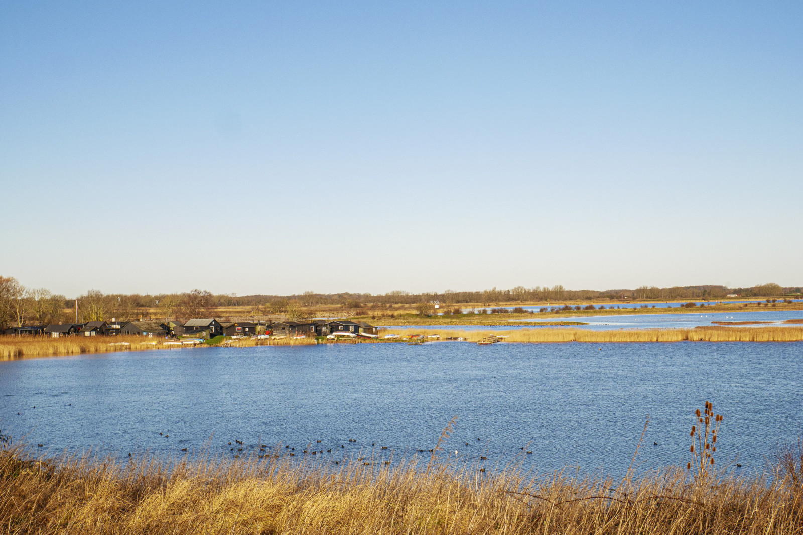
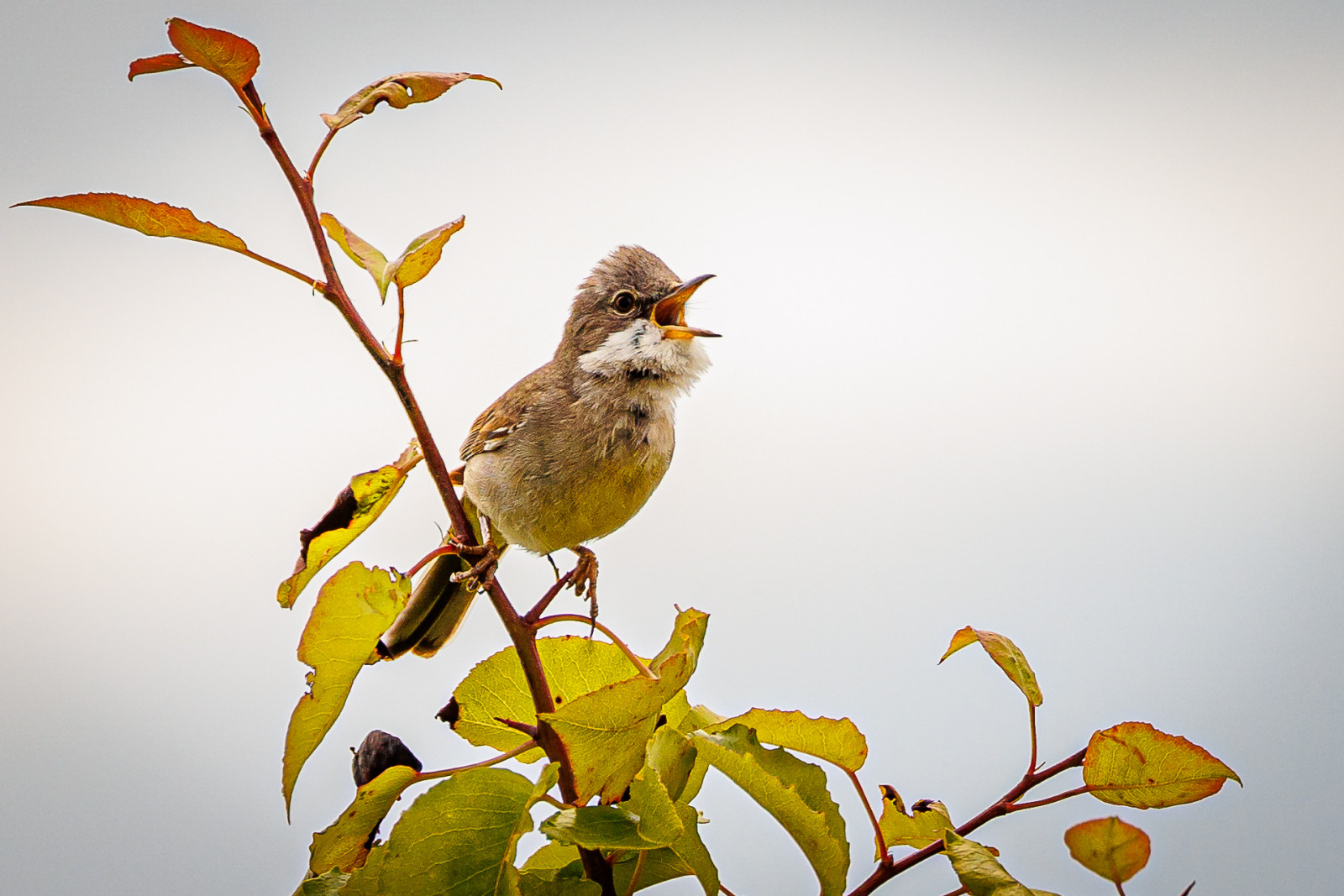
Stige ø is a peninsula between Odense Fjord and Odense Canal. Part of the island was formerly a landfill, but is now covered with soil and a popular excursion and activity area. There are walking paths, a playground, an ice house, mountain bike tracks and shelters The area has a varied nature with many bushes with small birds such as Jilguero Europeo, Escribano Cerillo and Curruca Zarcera. There are also areas with reed beds where there are Carricero Común, Carricerín Común and Escribano Palustre.
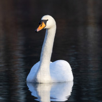
Many waterfowl are seen in the fjord and in winter large flocks of Cisne Vulgar, Focha Común are seen, and it is an important wintering site for Zampullín Común. You can also see birds of prey, especially Cernícalo vulgar and Busardo ratonero, but also Pigargo Europeo which breeds on the nearby and Halcón Peregrino which breed on the nearby Fjernvarme Fyn.
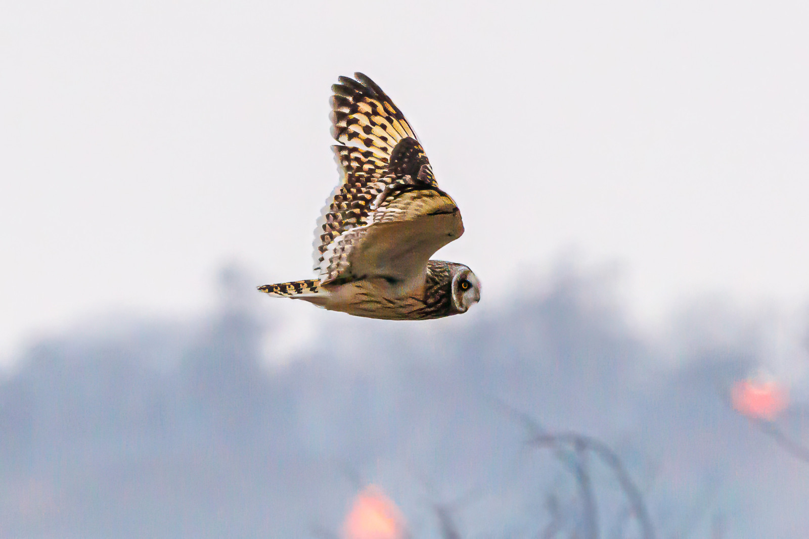
Stige Ø nord is the area north of the parking lot at Sortehusene. It is characterized by meadow areas. You enter the area through a gate, as there are livestock. There are several wading birds in the area and in winter you can see Búho Campestre. You also get quite close to Vigelsø, where Pigargo Europeo often is seen hunting.
Detalles
Accesso
Stige Ø is located just north of the city of Odense. There is no public transport. You can get there by car or bike. The parking lot by the ice cream shop is the best starting point. The parking lot at Sortehusene is the best starting point if you want to go out to Stige Ø north. Press on a P on the map for directions to one of the parkings. During weekends and school holidays there can often be quite a lot of people out here, but you can still often find some quiet areas where you can watch birds.
Terreno y habitat
Cañizos , Mar , Árboles y arbustos dispersos , HumedalCondiciones
Plano , Paisaje abiertoCamino circular
Sí¿Se necesita telescopio?
Puede ser útilBuena época para el avistamiento de aves
Todo el añoMejor momento para visitar
Invierno , PrimaveraRuta
Camino sin asfaltarCamino difícil de andar
FácilAccesible vía
A pie , BicicletaEscondite de observación / plataforma
SíInformación extra
The bird hide is difficult to access and does not offer better observation opportunities than from the path.
The circular route is 4 km, and can be followed by gps. There are possibilities to choose other paths.


 ) insertar los nombres de aves en tu propio idioma. ¡Los nombres de las aves serán traducidos automáticamente para otros usuarios!