
Descripción
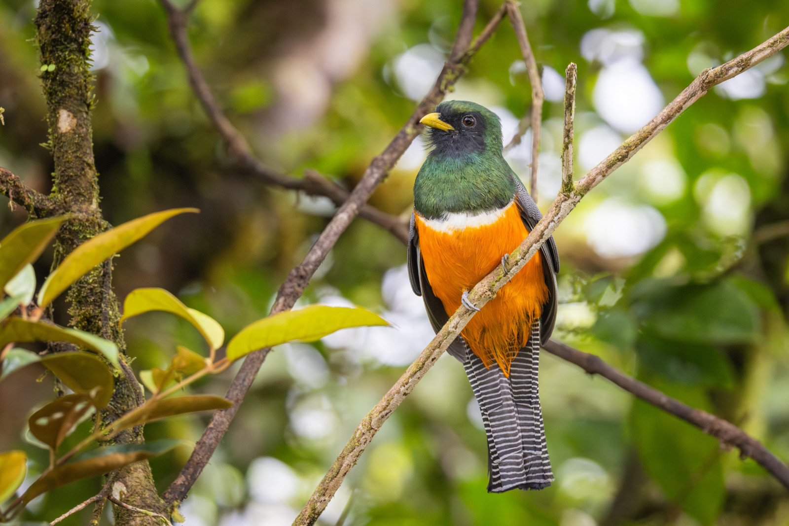
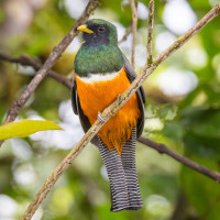
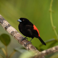
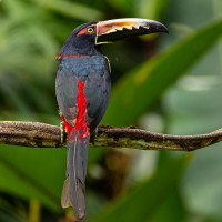
The Cerro Chato trail is challenging trail to the crater lake of the Cerro Chato volcano. Much of the trail is narrow and steep, with bulging tree roots to avoid and some slippery spots due to clay. But he scenery is gorgeous and the birding is good. The Collared Trogon is a common sight here, as are various species of woodpeckers, including the Lineated Woodpecker. The elevation of Cerro Chato also allows for sightings of some highland species too. See the birdlist below.
The trail begins in the lowland rainforest typical of the area and ascends into sometimes misty, higher altitude cloud forest. Be ready to get muddy. The trail is about 6 km in total. The hike up to the top of Cerro Chato is about 1.5-2 hours each way, depending on your fitness level. Of course you can choose to only to do a part of the trail as it is a one way trail and you can turn back when you feel like.
Detalles
Accesso
As the Cerro Chato trail is a private property trail you start at the Arenal Waterfall Lodge to get a wristband for $15 or 16,000 CRC (2024) and park there. You can follow the trail all the way to the lake. Outdoor showers and drinks at the bar by the pool afterwards is also a must (the showers and use of the pool are included in the price). Of course you can also decide to overnight in the Arenal Waterfall Lodge. A nice place to stay with many bird species and a nice view from guest house terrasse and Chato Volcano trailhead. You can then decide if you only observe directly from the lodge or hike uphill.
 wikimedia andy Morffew.jpg)
 ) insertar los nombres de aves en tu propio idioma. ¡Los nombres de las aves serán traducidos automáticamente para otros usuarios!