.jpg)
Descripción
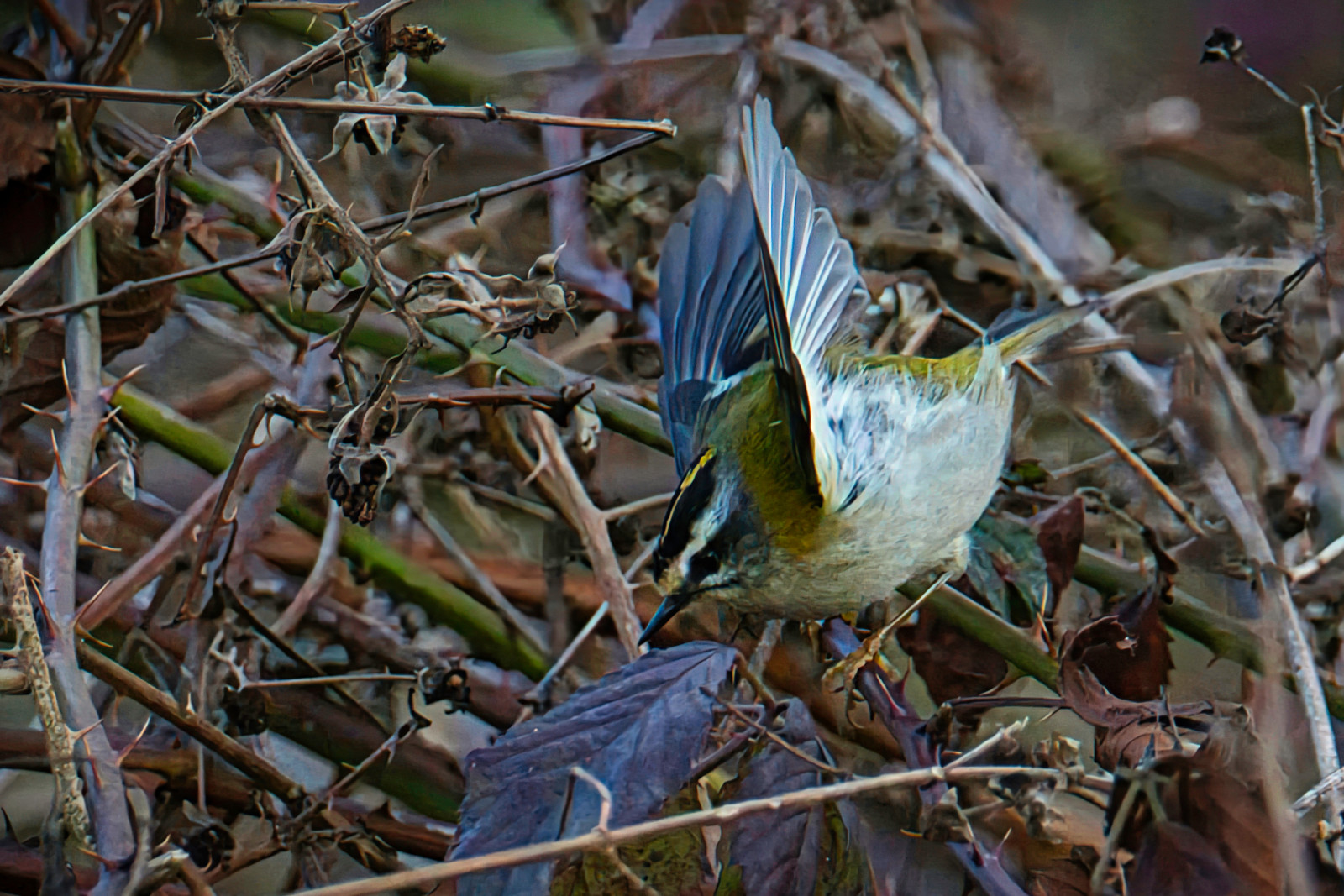
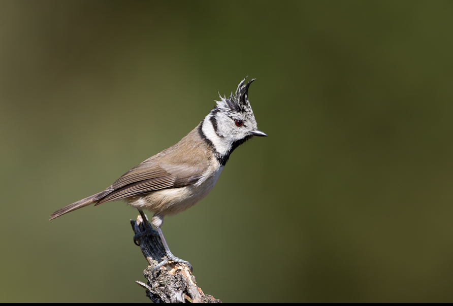
Keiheuvel is an area of 108 hectares with pine forests, open dune grasslands and a few patches of heather. 60 hectares of the area is a protected nature reserve because of the valuable flora and fauna and the unique dry open land dunes. Open spaces are the habitat of Chotacabras Europeo and Alondra Totovía. In the woods you will find birds such as Herrerillo Capuchino, Pico Picapinos and Agateador Europeo. You will find the dunes everywhere in Keiheuvel, but the most beautiful part is behind the airport. You can take a walk of 10 kilometers through the area and then you also pass through the adjacent area of Most, a wet area where you can see birds such as Garceta Grande, Rascón Europeo, Agachadiza común and Avefría Europea.
_________________________
Nederlands: Keiheuvel is een gebied van 108 hectare met dennenbossen, open duingraslanden en enkele stukken droge heide. Van het gebied is 60 hectare beschermd natuurgebied vanwege de waardevolle flora en fauna en de unieke droge open landduinen. Open plekken vormen het leefgebied van nachtzwaluw en boomleeuwerik. In de bossen vind je vogels als kuifmees, grote bonte specht en boomkruiper. Je vindt de duinen overal in Keiheuvel, maar het mooiste deel ligt wel achter het Vliegveld. Je kunt een wandeling van 10 kilometer maken door het gebied en dan kom je ook door het aangrenzende Most, een nat gebied waarbij je dan weer vogels als grote zilverreiger, waterral, watersnip en kievit kunt zien.
Detalles
Accesso
The more than 10 kilometers long walk that you see on the map below starts from the parking lot at Recreation Domain Keiheuvel. You walk from the parking lot along high sand hills and forests. Click on the P in the map for directions to the parking lot.
_________________________
Nederlands: Vanaf de parkeerplaats bij Recreatiedomein Keiheuvel start de meer dan 10 kilometer lange wandeling die je op de kaart beneden ziet. Je loopt vanaf de parkeerplaats langs hoge zandheuvels en bossen en op het einde ook door het natte gebied Most. Klik op de P in de kaart voor een routebeschrijving naar de parkeerplaats.
Terreno y habitat
Dunas , Bosque , BrezalesCondiciones
Montañoso , Plano , Paisaje abierto , PantanosoCamino circular
Sí¿Se necesita telescopio?
Puede ser útilBuena época para el avistamiento de aves
Todo el añoMejor momento para visitar
PrimaveraRuta
Camino ancho , Camino estrechoCamino difícil de andar
Caminata mediaAccesible vía
A pieEscondite de observación / plataforma
NoInformación extra
De Most-Keiheuvel is een gebied van 540 hectare, gelegen langs de bovenloop van de Grote Nete in de gemeente Balen. Bijzonder aan dit gebied is de combinatie van twee totaal verschillende natuurkernen die naadloos op elkaar aansluiten. De Most is een uiterst nat valleigebied, terwijl de hoger gelegen Keiheuvel juist gekenmerkt wordt door droge open landduinen. Je vindt de duinen overal in Keiheuvel, maar het mooiste deel ligt wel achter het Vliegveld. Europese topnatuur waar iedereen van kan genieten al wandelend, fietsend, te paard en zelfs met de rolstoel.e Keiheuvel bestaat uit dennenbossen, open duingraslanden en enkele stukken droge heide. Bijzonder is het voorkomen van korstmossen en plantjes zoals heidespurrie en kruipbrem. De open plekken vormen eveneens het leefgebied van oa heivlinder, nachtzwaluw en boomleeuwerik.


 ) insertar los nombres de aves en tu propio idioma. ¡Los nombres de las aves serán traducidos automáticamente para otros usuarios!