Descripción
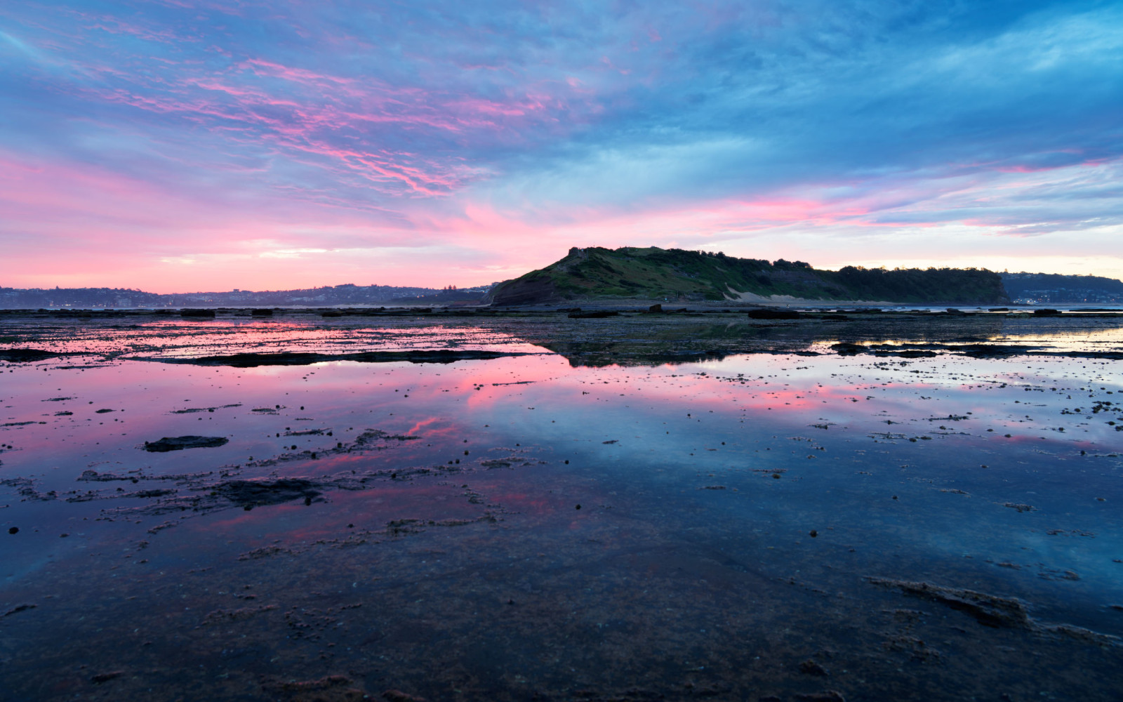
Long Reef is a large headland in the Northern Beaches of Sydney with an extensive rock platform that is accessible at low tide (see link to the tides table below). Beaches fringe the base of the headline, whilst a large, open golfcourse dominates the top.
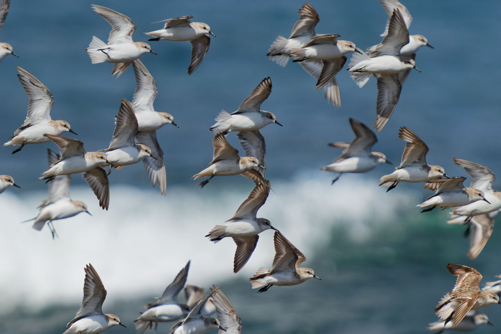
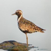
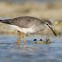
The outermost portion of the rock platform is excellent for migratory shorebirds including Pacific Golden Plover, Grey-tailed Tattler, Ruddy Turnstone and Red-necked Stint. These species can be found in abundance from Spring through to Autumn, although smaller numbers of the latter three species often stay throughout Winter as well. Less commonly seen Spring migratory species include Bar-tailed Godwit and Red Knot. In winter, Double-banded Plover is a frequent migrant to the rock platform.
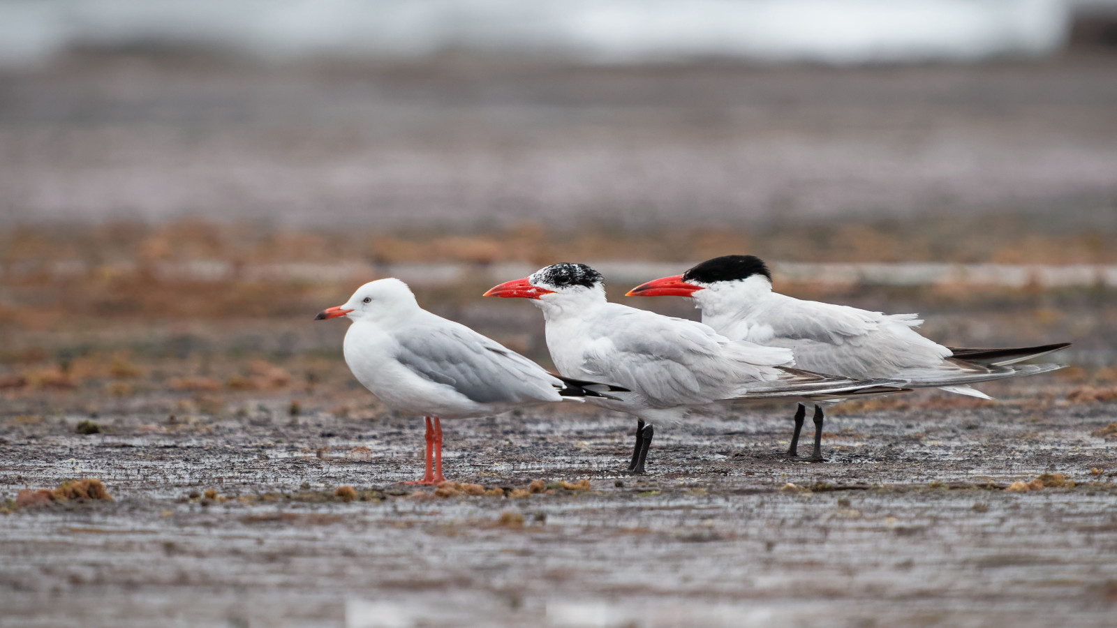
Sooty Oystercatcher is common around the edges of the headland, and flocks of Greater Crested Tern can be reliably seen, as well as Caspian Tern. Seabirds can be also seen when looking over the ocean, including Black-browed Albatross, Wedge-tailed Shearwater and Short-tailed Shearwater. The rock platform is also one of Sydney's best locations to reliably see Osprey. The headland's cliffs are a good spot to see Nankeen Kestrel.
Whale watching is excellent from May to November, when tens of thousands of humpback whales (Megaptera novaeangliae) migrate past the eastern Australian coastline.
Detalles
Accesso
Check a tide forecast to ensure your visit does not coincide with high tide, when the rock platform becomes inaccesible. See the link to the tide table below.
Long Reef is best accessed via car. Unlimited free parking is available on Anzac Avenue and surrounding residential streets. Paid parking is available along a road entered by taking a right turn at the Long Reef Golf Club near the end of Anzac Avenue. Paid parking is available on this road along Fisherman's Beach and up to the top of the headland, which is the closest parking location to the rock platform. Click on a P in the map for directions or coordinates.
Public transport from the Central Business District takes approximately 1.5 hours. One option is to take a Ferry from Circular Quay to Manly Wharf, followed by the 199 bus to Pittwater Road opposite Griffith Park. Another option is to take the B1 bus from the Central Business District to Collaroy Beach.
Terreno y habitat
Playa , Mar , Cañón/acantiladoCondiciones
Plano , Rocoso , Pantanoso , Resbaladizo , Nivel del agua alto probable , Paisaje abierto , ArenosoCamino circular
Sí¿Se necesita telescopio?
Puede ser útilBuena época para el avistamiento de aves
Todo el añoMejor momento para visitar
VeranoRuta
Camino sin asfaltarCamino difícil de andar
Caminata mediaAccesible vía
A pie , CocheEscondite de observación / plataforma
NoInformación extra
Take caution on the rock platform as wet sections can be very slippery, especially where algae grows on the rock. Also beware of falling rocks from the cliff face. Waterproof footwear is advisable as portions of the rock platform remain wet even during low tide. Otherwise a flat and easy walk along the bottom of the headland. A short climb required if visiting the top of the headland. Birds can be viewed through a scope from the headland if you do not wish to walk on the rock platform.


 ) insertar los nombres de aves en tu propio idioma. ¡Los nombres de las aves serán traducidos automáticamente para otros usuarios!