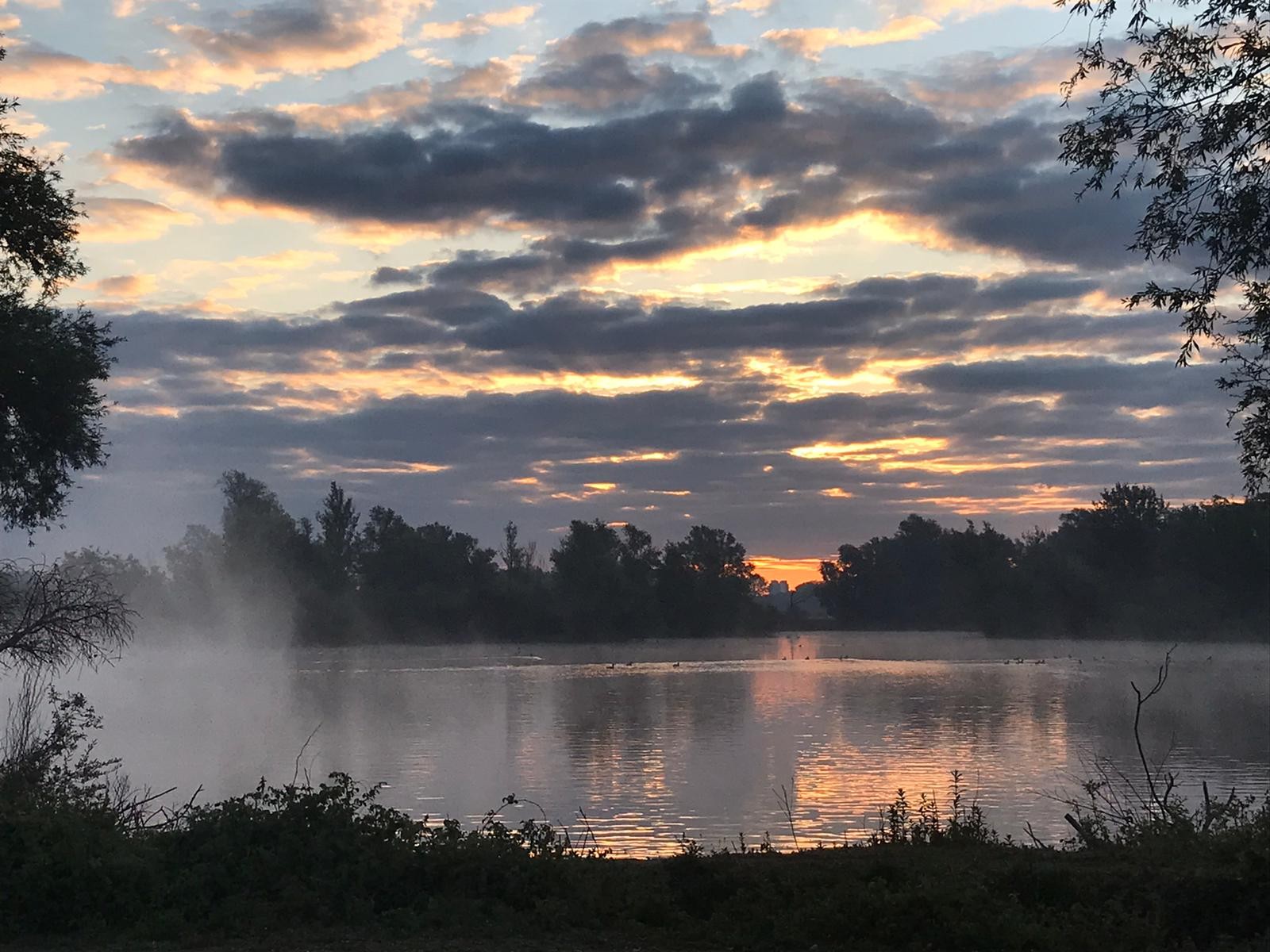
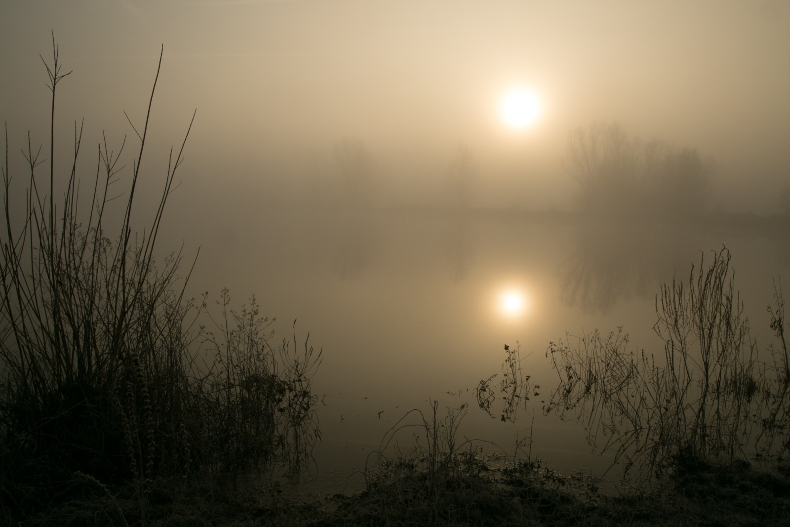
Description
The four main landscape types of Meinerswijk are:
1) Old clay pits with permanent water. Good for ducks and grebes especially in winter.
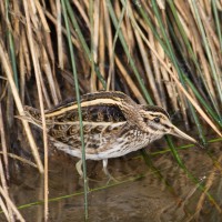
2) Seasonally flooded meadows and shrubs. Some waders during migration. Good for songbirds in most seasons. Very docile cows and horses keep the vegetation open. Can be muddy but is great for adventerous wandering.
3) Patches of fairly old riveraine forest. Good for variety of songbirds, woodpeckers etc.
4) Extensively farmed grasslands. Good for geese in winter and spring.
_________________________
Nederlands: Meinerswijk is een dynamisch wetland langs de Rijn aan de rand van Arnhem. Mooie mix van water-, weide- en bosvogels. Dwalen buiten de paden is toegestaan. De vier belangrijkste landschapstypen van Meinerswijk zijn:
1) Oude kleiputten met permanent water. Vooral in de winter goed voor eenden en futen.
2) Seizoensgebonden overstroomde weilanden en struiken. Enkele steltlopers tijdens migratie. Goed voor zangvogels in de meeste seizoenen. Zeer dociele koeien en paarden houden de begroeiing open. Kan modderig zijn, maar is geweldig voor avontuurlijke wandelingen.
3) Paar stukjes met vrij oud rivierbos. Goed voor verschillende zangvogels, spechten etc.
4) Extensief beheerde graslanden. Goed voor ganzen in winter en voorjaar.
Details
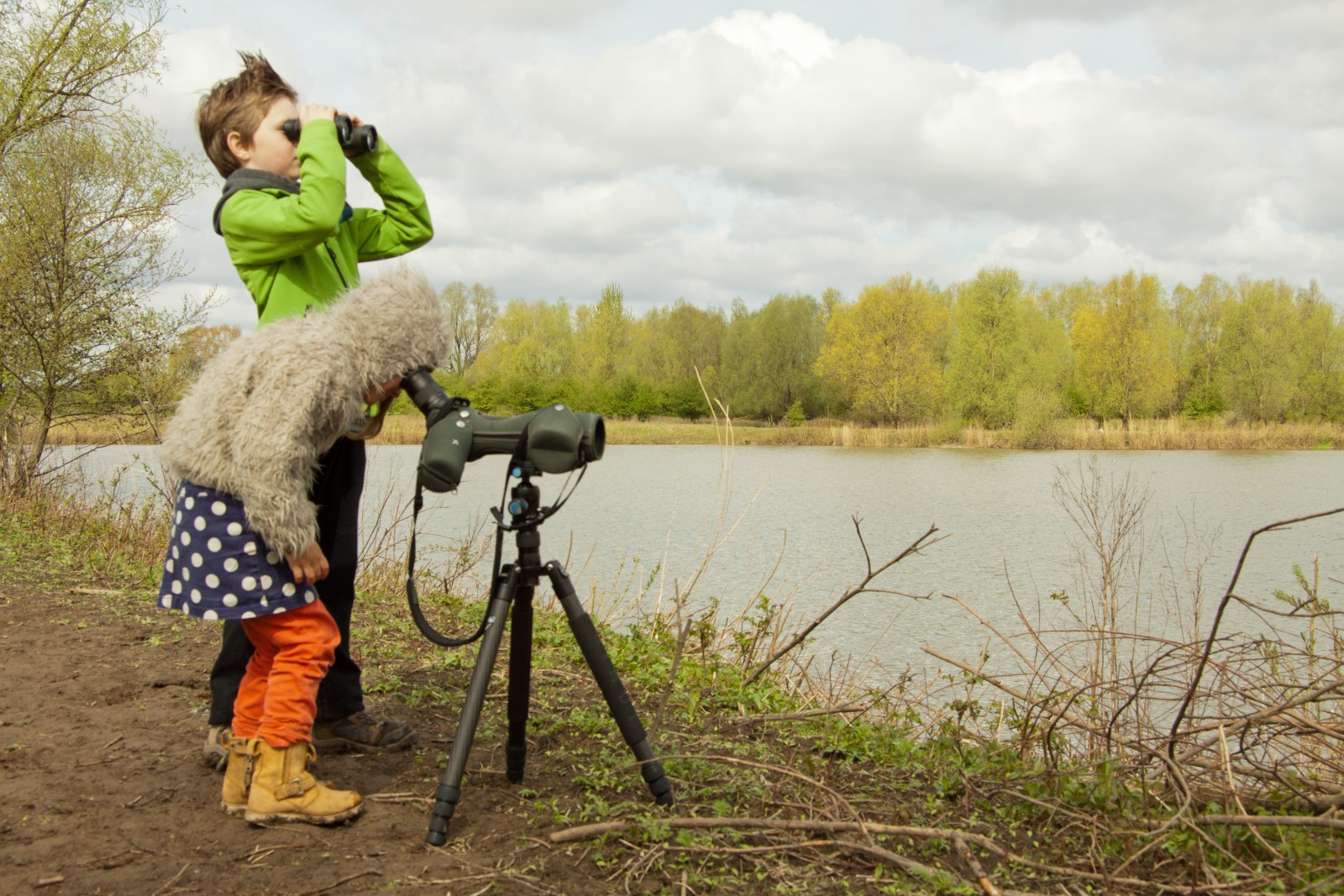
Access
Walking is best but exploring with bicicle is also possible. No cars are allowed in the area. Road and cycle path are paved, rest are tracks. Good footwear advisable especially in winter and spring. De route that is shown on the map is about 6 km.
_________________________
Nederlands: Wandelen is de beste optie, maar verkennen met de fiets behoort ook tot de mogelijkheden. Auto's zijn niet toegestaan in de omgeving. Weg en fietspad zijn geasfalteerd, de rest zijn onverharde paden. Vooral in de winter en de lente is goed schoeisel aan te raden. De route die is aangegeven op de kaart is ongeveer 6 km.


 ) to insert bird names in your own language. The birdnames will automatically be translated for other users!