

Description
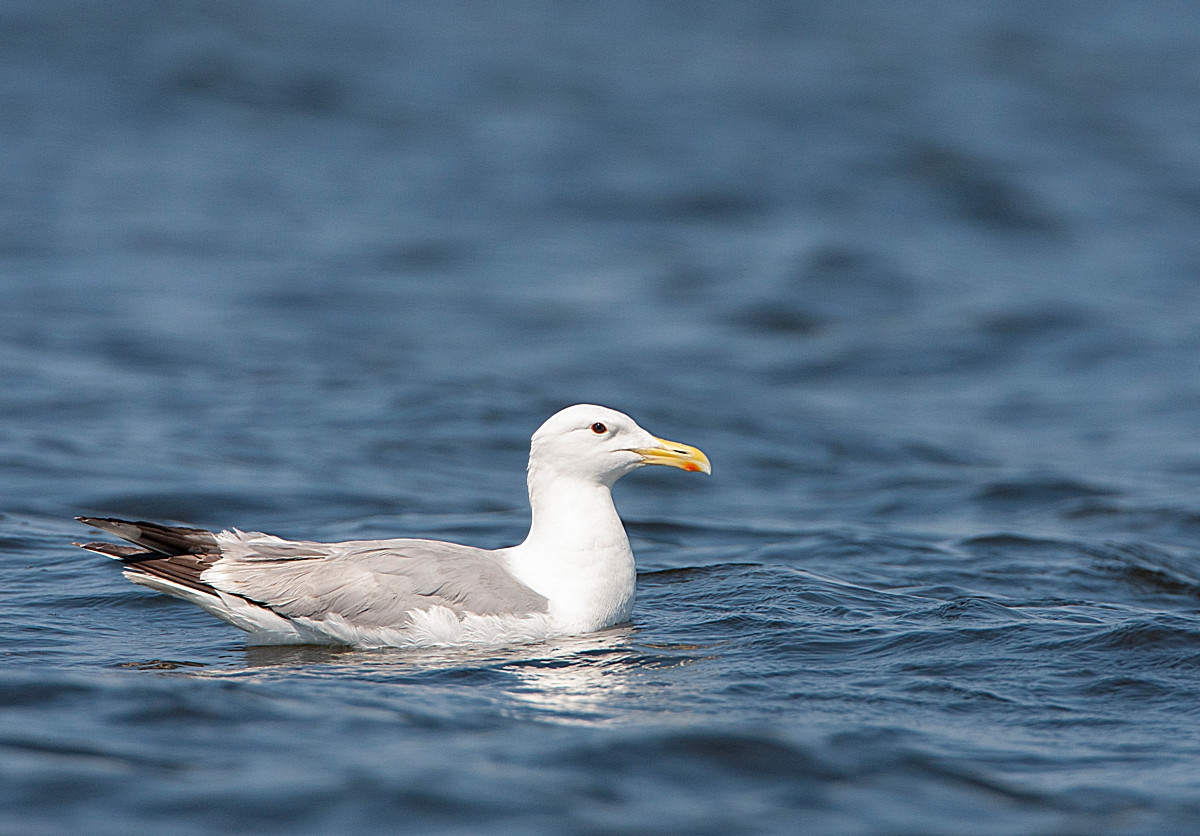
The Koldinger Teiche (Koldinger Ponds) attract many birds with its extensive water surfaces and green shores. For more than 40 years, gravel sands were mined here. Legacy: Around 190 hectares of water, spread over a dozen lakes. Due to its great importance for birds the lake landscape has been protected since 2001. There is a circular hiking trail (4 km) around the biggest lake (Großer Koldinger See). In the past the lake had two bird observation towers on its shores, but unfortunately the towers have been removed. Among the birds that can be seen are Χηνοπρίστης, Νανοπρίστης, (Μεγάλο) Καλαμοτσίχλονο, Σχοινοποταμίδα, Καλαμοποταμίδα, (Ευρωπαϊκή) Βουκεφάλα, (Κοκκινόλαιμο) Νανοβουτηχτάρι, Ασημόγλαρος της Κασπίας, (Ευρωπαϊκή) Αλκυόνη and Ψαραετός.
Details
Access
The Koldinger Ponds are located 10 km south of Hanover. The area can be reached by bus and train via the stops Rethen (Leine) Kiesgrube, Gleidingen Orpheusweg, Gleidingen Thorstraße and Ruthe Friedhof. If you arrive by car: there is a parking place on the north side of the Großer Koldinger See. Click on the P in the map to get directions. From the parking you can walk a 4 km circular trail.


 ) to insert bird names in your own language. The birdnames will automatically be translated for other users!