

Description
Hallig Hooge is characterized by large fallow areas, some of which are used for livestock farming. There are large areas of salt marsh on the east and west sides of the Hallig. While the North Sea is on the north side, large mudflats are exposed around the rest of the Hallig Hooge at low tide. Isolated hills with clusters of houses, small ponds and shrub structures allow very close observations of migrating songbirds, especially during migration periods.
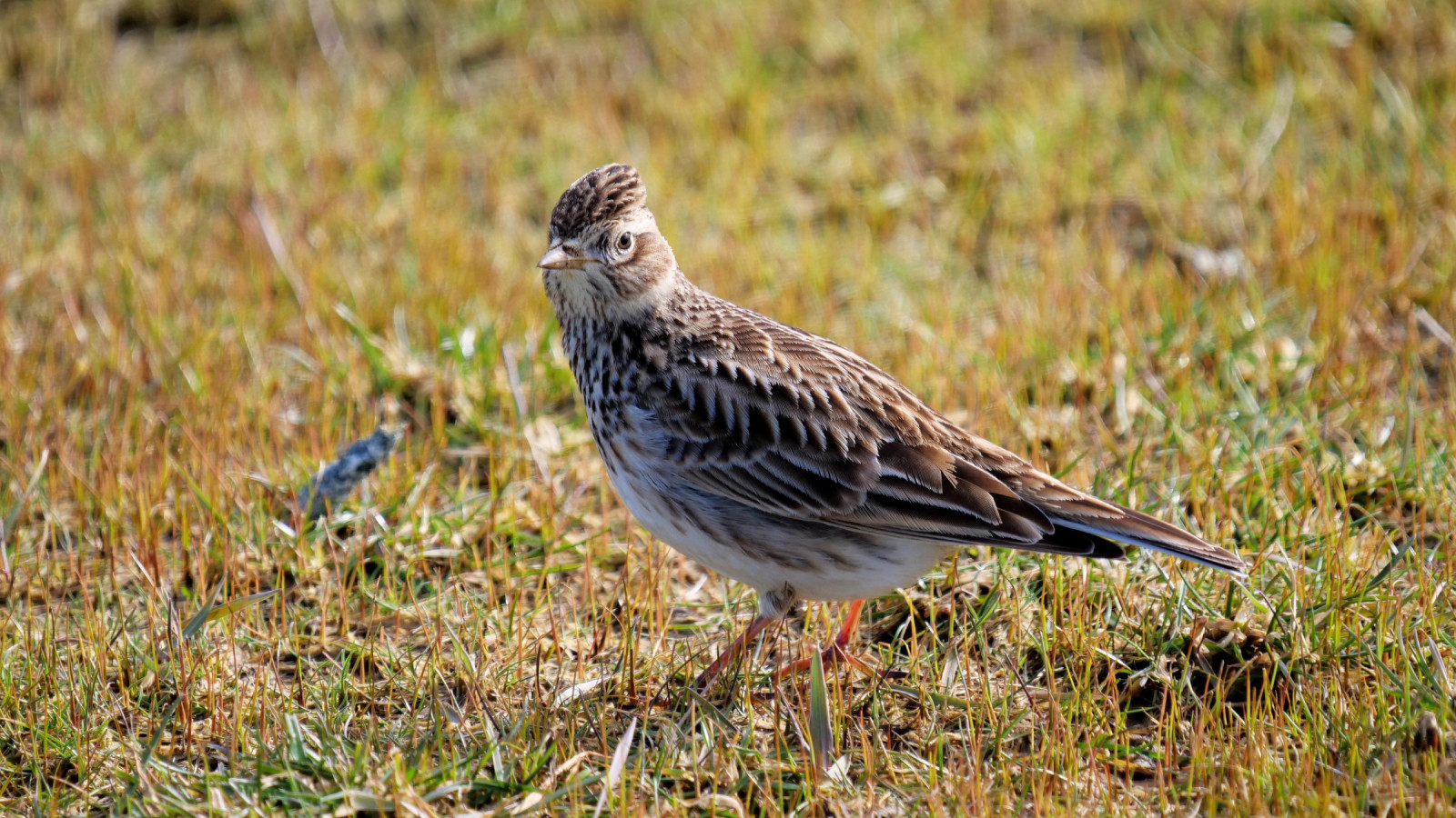
On a small sandbank on the northeastern side of Hallig Hooge is a hightide roost of waders and other waterbirds. But during very high tides the entire island is used as a roost. Breeding birds include (Ευρωπαϊκός) Στρειδοφάγος, Κοκκινοσκέλης and (Ευρωπαϊκό) Νανογλάρονο on the small sandbar. Other birds you can encounter are depending on the season Δαχτυλιδόχηνα, (Ευρωπαϊκό) Σφυριχτάρι, Βαρβάρα, (Κοινή) Πουπουλόπαπια, Θαλασσοπρίστης, (Ευρωπαϊκή) Αβοκέτα, Αργυροπούλι, (Ευρωπαϊκό) Βροχοπούλι, (Ευρασιατική) Τουρλίδα, Θαλασσολιμόζα, Αμμοσφυριχτής, Χαλικοκυλιστής, Λασποσκαλίδρα, Σταχτοπετρόκλης, Λιβαδοκελάδα, Χιονογλάρονο, Ποταμογλάρονο and Χειμωνογλάρονο. During migration time you can also encounter birds such as Κοκκινόχηνα, Χιονοτσίχλονο, Βραχοσκαλίδρα, Κιτρινόφρυδος Φυλλοσκόπος, Pied Wagtail, Στραβολαίμης and all types of songbirds like trushes and flycatchers.
Details
Access
Hallig Hooge can be reached by ferry from Schlüttsiel (see link below). Press P on the map for directions to Schlüttsiel. The crossing from Schlüttsiel to Hallig Hooge takes approximately 1 hour and 15 minutes. Every point on the island of Hallig Hooge itself is easily accessible on foot or by bike. You can get around on foot on the Warften (small hills, including clusters of houses and bush structures), but there are also some private properties and private paths.
Terrain and Habitat
Wetland , Grassland , Scattered trees and bushes , Plain , Sea , Dunes , Pond , Mud flats , Agriculture , Reedbeds , City/villageConditions
Flat , Hilly , Open landscape , High water possibleCircular trail
YesIs a telescope useful?
Can be usefulGood birding season
All year roundBest time to visit
Spring migration , Autumn migrationRoute
Paved road , Wide path , Unpaved road , Narrow trailDifficulty walking trail
EasyAccessible by
Foot , Bicycle , WheelchairBirdwatching hide / platform
NoExtra info
Κοκκινόχηνα Σταχτόπαπια (Ευρωπαϊκή) Μαυρόπαπια (Ευρωπαϊκή) Βουκεφάλα Ασπρομέτωπη Χήνα Σταχτόπαπια (Κοκκινόλαιμο) Νανοβουτηχτάρι (Ευρωπαϊκός) Κούκος (Ευρωπαϊκό) Γιδοβύζι (Κοινή) Σταχτάρα (Κοινή) Φαλαρίδα (Ευρωπαϊκός) Γερανός (Ευρωπαϊκή) Καλημάνα Ποταμοσφυριχτής Βουνοσφυριχτής Δρεπανοσκαλίδρα (Ευρασιατική) Μπεκάτσα (Κοινό) Μπεκατσίνι Ερυθρόλαιμος Φαλαρόποδας Ακτίτης Δασότρυγγας Πρασινοσκέλης Γερακοληστόγλαρος Τριδάκτυλος Γλάρος Καρατζάς Κηλιδοβούτι Σούλα (του Βορά) (Κοινός) Λευκοτσικνιάς (Ευρασιατική) Χουλιαρομύτα Ψαραετός Χειμωνόκιρκος Βαλτοποταμίδα Καλαμοποταμίδα Δασοφυλλοσκόπος Κιτρινόφρυδος Φυλλοσκόπος Hume's Warbler Pallas's Leaf Warbler Siberian Chiffchaff Βουνοδεντροβάτης Καμποδεντροβάτης Χιονοκότσυφας Γερακότσιχλα Σταχτοπετρόκλης Σταχτοσουσουράδα Θαλασσοκελάδα Pied Wagtail Grey-headed Wagtail (thunbergi) Western Yellow Wagtail Χειμωνόσπινος Twite Τσακρίλλι (Μεγάλο) Καλαμοτσίχλονο Διπλοσάϊνο Χιονογερακίνα (Κοινή) Γερακίνα (Ευρωπαϊκή) Αλκυόνη Στραβολαίμης Νανογέρακο Πετρίτης Αετομάχος (Κοινή) Καρακάξα (Ευρωπαϊκή) Κάργια Χαβαρόνι Hooded Crow Χιονάδα Δεντροσταρήθρα Κιτρινοστριτσίδα Σχοινοποταμίδα


 ) to insert bird names in your own language. The birdnames will automatically be translated for other users!