Description
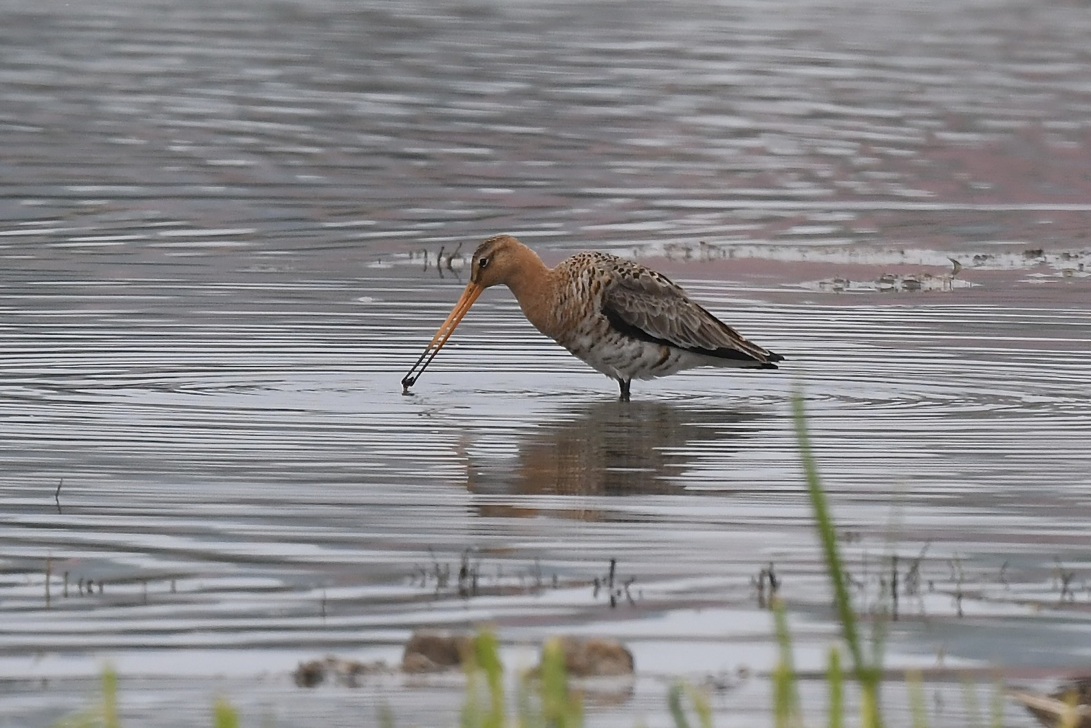
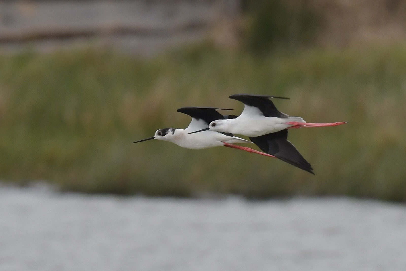
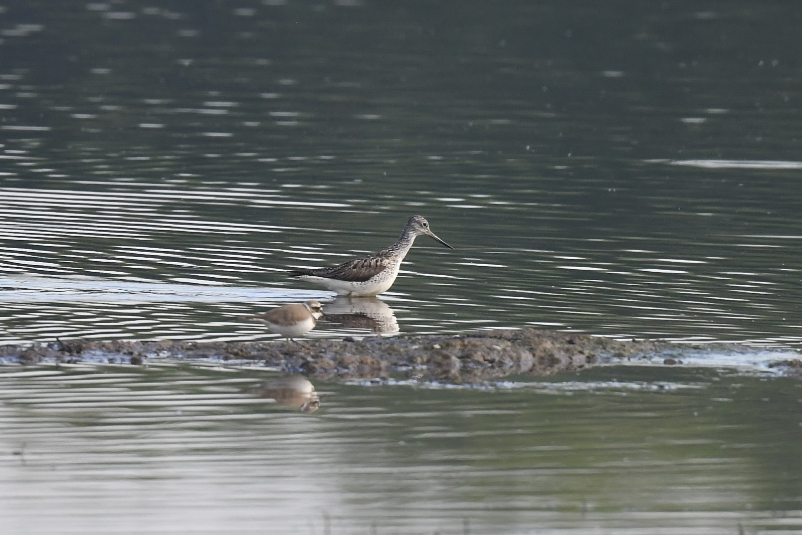
The shallow water bodies of Le Marais des Marpiniaux attract ducks in winter and during migration, among others (Ευρωπαϊκή) Σαρσέλα, Ψαλίδα (του Βορά), Βαρβάρα and (Ευρασιατική) Χουλιαρόπαπια. Stopover waders are regular, such as Μαυρότρυγγας, Λασπότρυγγας, Πρασινοσκέλης, Ποταμοσφυριχτής and Αμμοσφυριχτής. The marsh vegetation supports passerines such as Σχοινοποταμίδα, (Ευρωπαϊκό) Ψευταηδόνι, Γαλαζολαίμης and Θαμνοτριλιστής. The Καλαμοκανάς and (Ευρασιατική) Χουλιαρομύτα are annuals. As with any site dedicated to hunting, there will be disturbances linked to hunting activities.
_________________________
Français: Marais composé de huttes de chasse en activité ou non, contigu à la Sambre. Les plans d'eau peu profonde attirent les anatidés en hiver et en migration, entre autre la (Ευρωπαϊκή) Σαρσέλα, le Ψαλίδα (του Βορά), le Βαρβάρα ou le (Ευρασιατική) Χουλιαρόπαπια. Les limicoles en halte sont réguliers, comme le Μαυρότρυγγας , le Λασπότρυγγας , le Πρασινοσκέλης, le Ποταμοσφυριχτής, le Αμμοσφυριχτής. La végétation palustre accueille des passereaux comme le Σχοινοποταμίδα, la (Ευρωπαϊκό) Ψευταηδόνι, la Γαλαζολαίμης ou la Θαμνοτριλιστής. L' Καλαμοκανάς ou la (Ευρασιατική) Χουλιαρομύτα y sont annuelles. Comme dans tout site dédié à la chasse, on déplorera des dérangements liès aux activités cynégétiques...
Details
Access
Le Marais des Marpiniaux is located south of the village of Boussois. From Boussois, take rue Anatole France, turn right onto Chemin des Marpigneaux and take Chemin Vert (unpaved but passable), park at the side of the road near the river Sambre towpath. Press P on the map for directions. The walking route along the river that is indicated on the map is about 1,3 km one way.
_________________________
Français: Accès aisé en arrivant de Boussois, prendre la rue Anatole France, bifurquer à droite sur le Chemin des Marpigneaux et emprunter le Chemin Vert (non revétu mais carrossable), se garer en bord de chemin au niveau du chemin de halage de la Sambre. Appuyez sur P sur la carte pour obtenir l'itinéraire jusqu'au parking. Le sentier pédestre le long de la rivière, indiqué sur la carte, mesure environ 1,3 km aller simple.


.jpg)


 ) to insert bird names in your own language. The birdnames will automatically be translated for other users!