Beschreibung
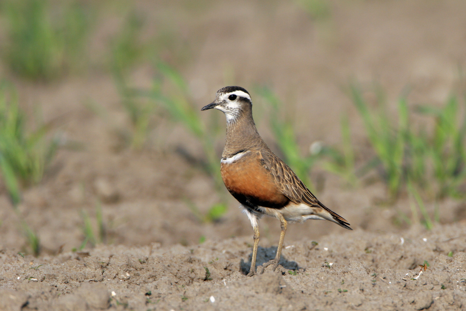
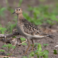
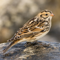
The Scilly islands ticklist runs to 453 species inc 63 waders, 44 warblers, 28 finches and buntings. St Mary's is an unmissable component in autumn with a ticklist of 369 species. These include Gelbbrauen-Laubsänger, Bartlaubsänger, Blauschwanz, Beutelmeise, Zwergschnäpper, Kanadareiher, Gelbspötter, Terekwasserläufer, Grasläufer, Mornellregenpfeifer and Rotfußfalke.
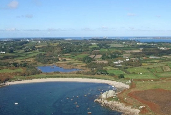
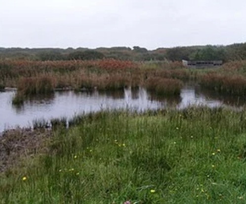
Best locations are; Lower moors pool, Porthellick pool, the Garrison, the airport (from outside the perimeter only), golf course (members only inside the perimeter), Telegraph hill, Porth Cressa and Porthloo. All day guided walk with Will Wagstaff is just £14, see link below. For seawatching or whalewatching, go to Peninnis or Giants Castle, or take a pelagic trip on the MV Sapphire (£50), see link below.
Details
Zugang
St Mary's is accessed by ferry from Penzance, or by air from Penzance airport. From March to November the ferry from Penzance sails once a day - generally leaving Penzance at 9.15am and arriving on St. Mary's (the main island) at 12noon, and departing again at 4.30pm arriving back in Penzance at 7.15pm.
The easiest way to get around the island is on foot – there are some lovely, scenic coastal and inland walks (pick up a map from the Tourist Information Centre). If you walk the entire coastline of St. Mary’s, you’re likely to cover some 9 or 10 miles depending on the tide! For more ways to get around the island see link below.


 ) Tragen Sie die Vogelnamen in Ihrer Sprache ein. Sie werden automatisch für andere Nutzer übersetzt!