
Beschreibung
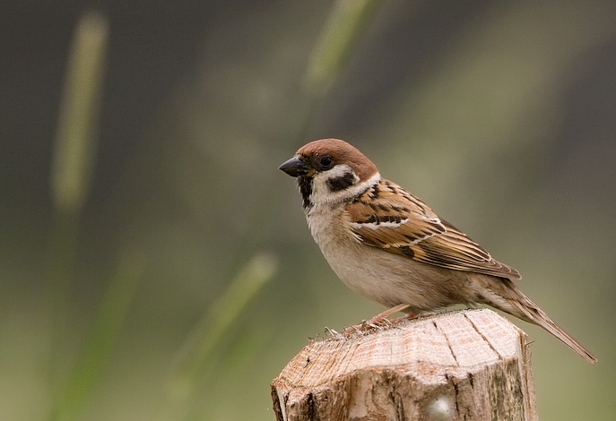
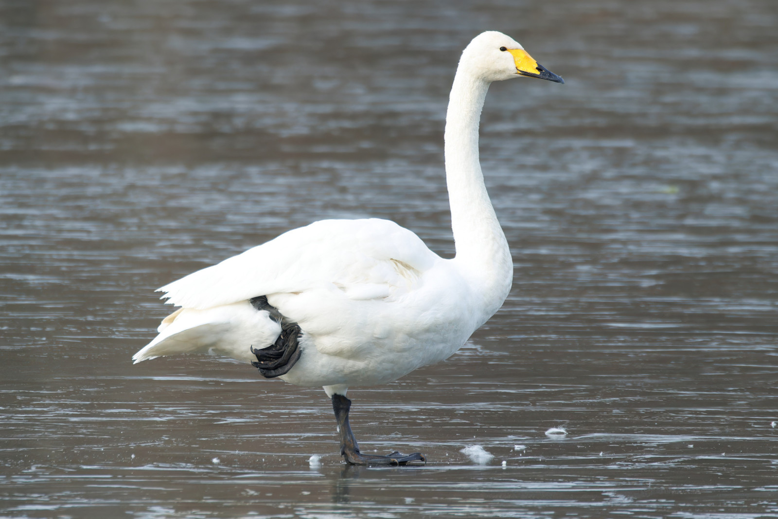
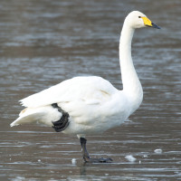
Portmore Lough is a lowland, wet-grassland reserve. The range of wetland habitats provide a home for a wide variety of wildlife. In spring, Kiebitz can be seen displaying over the wet grassland, whilst Feldlerche sing from high overhead. Butterflies and dragonflies dart along the path to the hide. The Flußseeschwalbe colony can be heard from the lough, as the terns busy themselves raising their young on the nesting rafts. Autumn brings lots of wildfowl, Bläßhuhn, Tafelente and Reiherente ducks gather in large rafts on the lough. Raptors, including Rohrweihe and Kornweihe can often be seen hunting over the reedbed at this time of year. Singschwan and Graugans arrive from Iceland in October to overwinter at the reserve until April. In late winter, huge swirling flocks of Kiebitz and Goldregenpfeifer fly over the flooded meadows.
Details
Zugang
From the M1 motorway come off at Junction 9, Moira roundabout, and head up the A26 towards the International Airport and Antrim. Go under the railway bridge and pass the Glenavy Road Service Station on the right. Take the second road on the left. It is signposted to the village of Aghalee. This is the Soldierstown Road. Stay on this road to the village of Aghalee. The reserve is signposted from Aghalee. Follow the road until a T-junction at Gawley’s Gate pub, turn right onto Derryola Bridge Road and drive for 1 mile. The reserve is signposted off the George’s Island Road. Car park open 9am – 5pm. When the car park gates are closed, you can park outside the gates.
Terrain und Habitat
Feuchtgebiet , See , Grasland, WiesenBedingungen
Offene LandschaftRundweg
NeinIst ein Spektiv nützlich?
Möglicherweise hilfreichGute Beobachtungszeit
GanzjährigBeste Beobachtungszeit
WinterRoute
Normaler WegSchwierigkeitsgrad der Tour
EinfachErreichbarkeit
zu FußBeobachtungshütten oder -türme
JaZusätzliche Informationen
158 hectares of open water meets 34 hectares of reedbed and 15 hectares of fen before flooding out onto 73 hectares of wet grassland. This mosaic of wetland habitats provides perfect opportunities for the survival of breeding Kiebitz, Bekassine and Rotschenkel.


 ) Tragen Sie die Vogelnamen in Ihrer Sprache ein. Sie werden automatisch für andere Nutzer übersetzt!